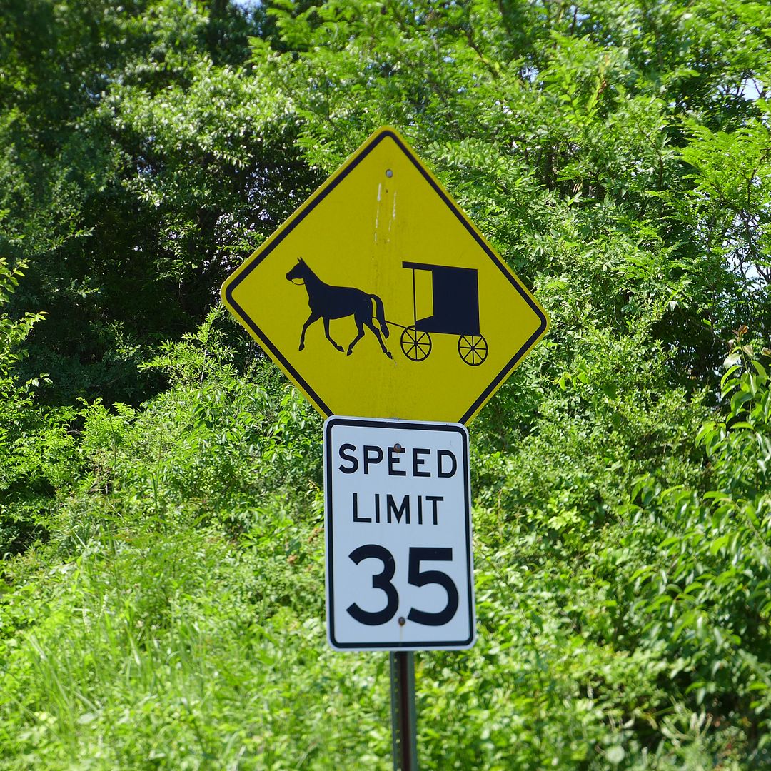
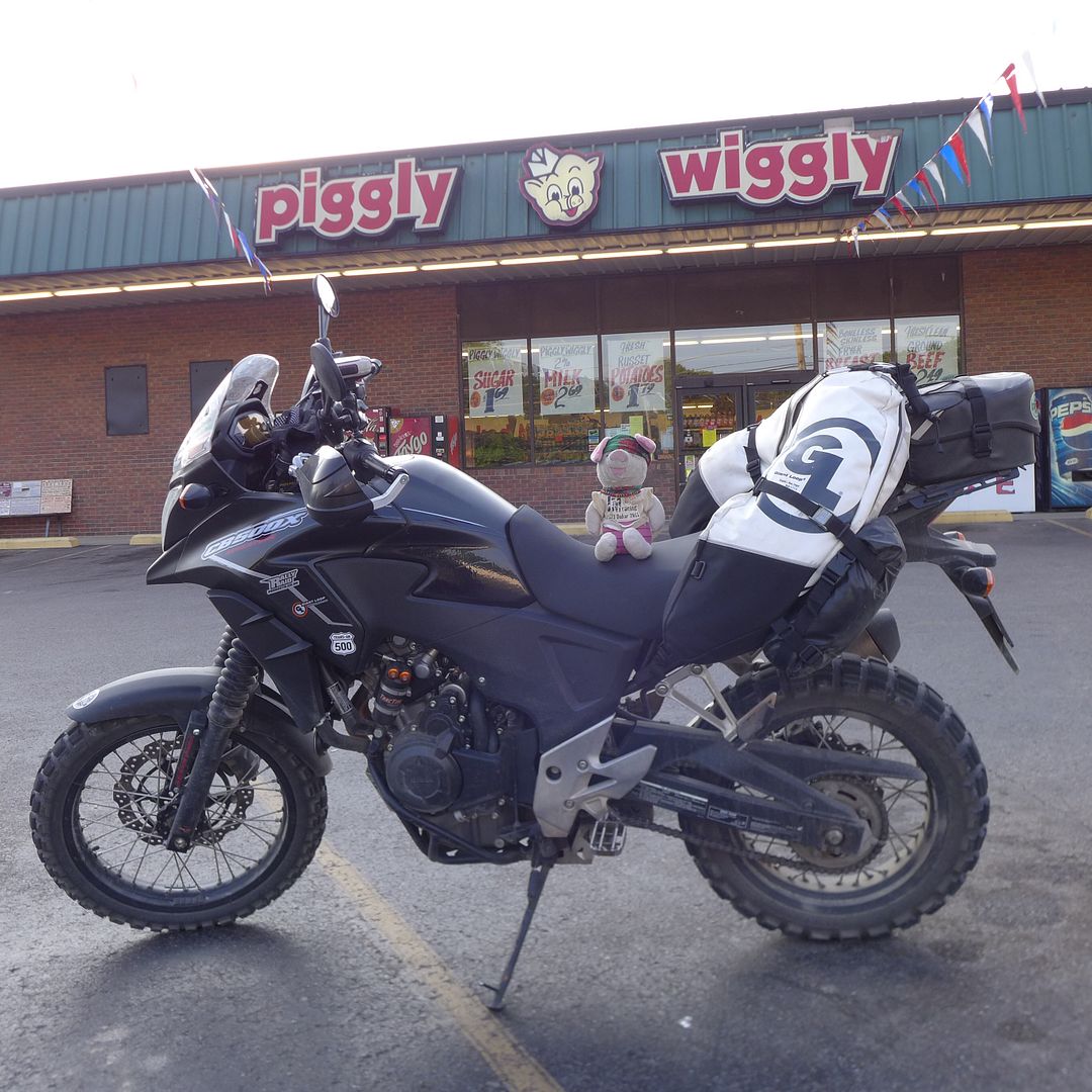
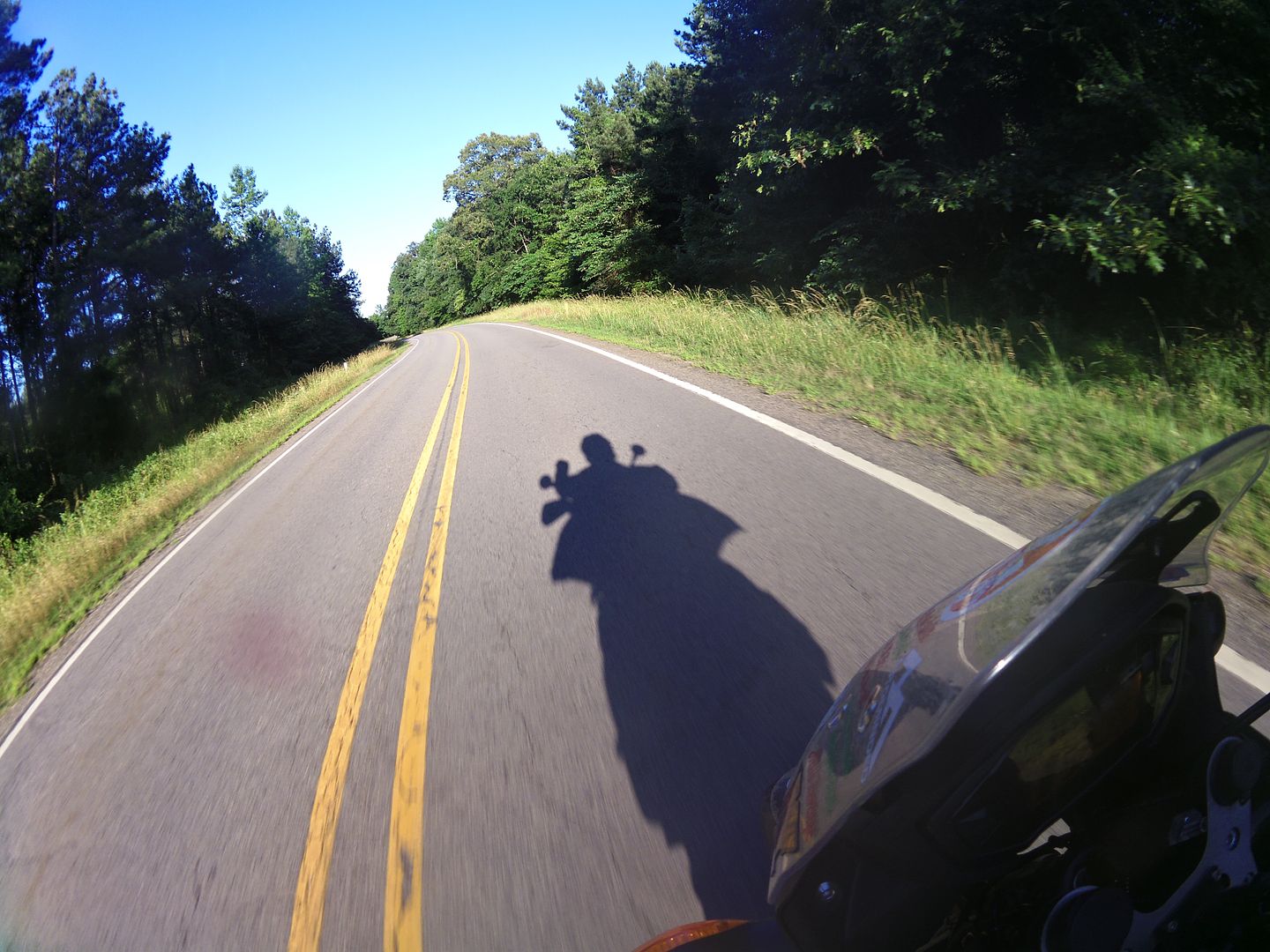
Trans-Am 500 - the seven year itch

Where you've been and what you done
JMoandpiglet
Posts: 283
Joined: Wed Dec 19, 2012 9:58 pm
Has thanked: 8 times
Been thanked: 17 times

Re: Trans-Am 500 - the seven year itch

Post by JMoandpiglet »

Day 20: Evansville IN to Richmond KY.

Mileage today: 250

So what on earth happened after the Iron Butt you might be asking - yes, it has almost been a full week since I embarked on the marathon journey from Colorado to Indiana, and I have to say it really feels like a lifetime ago already!

While it was a personal challenge for me, and also an excellent test of the long-distance ability (and comfort) of the CB500X; it was also an ideal opportunity to get a lot further east in a short space of time - helping to keep me on schedule for the overall trip, and not least to give me a little margin for any bike maintenance prior to my return journey west.

Although I didn't drop off to sleep until nearly 3am on Friday night/Saturday morning, I didn't feel all that tired when I woke with just enough time to grab a cook-your-own waffle from the breakfast bar before they stopped serving at 9am.

Indeed I momentarily considered knocking off another 500 miles that day (my destination of Roanoke VA was 538 miles away according to the GPS), and thus cementing a "Bun Burner" ride of 1500 miles in 36 hours - but quickly considered that I'd actually had enough of flogging both myself and the bike on endless interstate and major highways, and that it was time to ride some twisties again.


Cruisin' Kentucky...

Fortunately Kentucky, just over the Ohio River boarder with Indiana, is full of delightful rural roads, and very reminiscent of south-western France I thought? I tapped in a few via points and let the Garmin Montana guide me diagonally eastwards on the minor roads, in glorious sunshine!
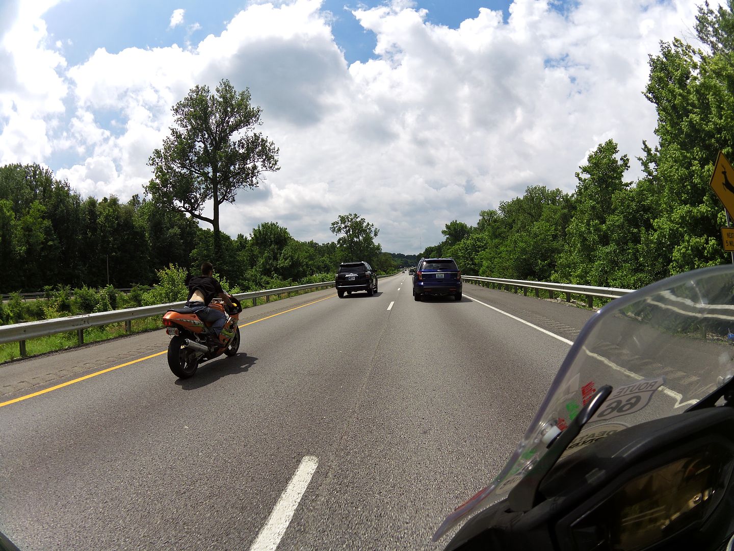
Image
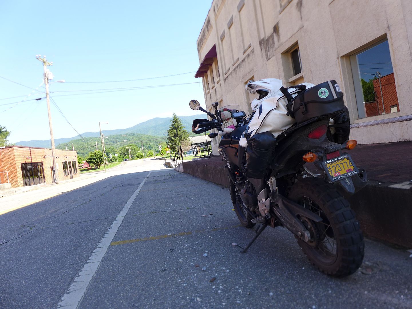
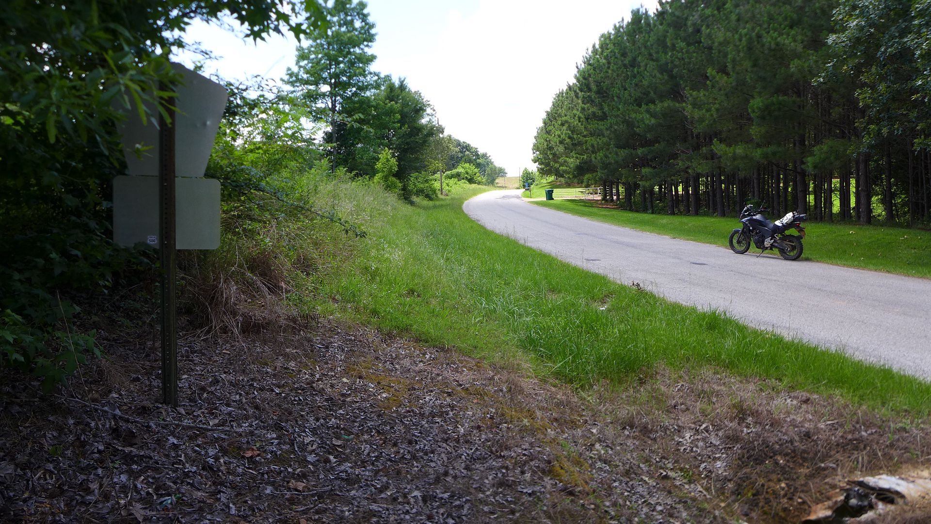
photo. This was the last bit of main road I would see today - and the weather in Kentucky was sunny, hot and humid...

I have to say, there were some very impressive and undoubtably expensive houses south of Evansville as I worked my way eastwards towards Fort Knox (with half an intention of visiting the military museum there) on old hwy 60. However, on reaching the edge of the huge facility, I was both conscious of a huge dark storm cloud that was hovering overhead, and coupled with the fact that I was starting to feel a lot more tired than I had first imagined, decided to press on and try and find a hotel in good time that evening.

Again, simply relying on the GPS to provide an interesting route (with encouragement with a few via points manually inputted where I saw an interesting road), I quite by chance happened to pass through Hodganville, which is where Abraham Lincoln was born!


Day 21: Richmond KY to Roanoke VA

Mileage today: 378

Sunday scratching...

It had turned out that by staying on minor roads, that Roanaoke was a lot further away (both in time and mileage) than I had imagined, but still I intended to make the most of this glorious weather, and almost traffic free roads though the Appalachian mountains - perfect!

I can honestly say I can't remember a time I've ever had more fun on the road on a bike - and that includes riding my Ducati Monster in the Swiss Alps!

Virginia really does have some world class riding, and the little CB was in it's element here, carving corner after corner, with enough drive to constantly keep a smile on your face, but not enough that might get you out of shape on unfamiliar roads.

I was deep in the rural heartland of Virginia (a dipped in and out of West Virginia too), and not only were the roads mercifully traffic free on this sunny Sunday, but it was a joy to be able to fill the tank of the bike and get a halfway decent slice of pizza and a hot chocolate for under fifteen bucks (that's less than ten quid to us Brits!)

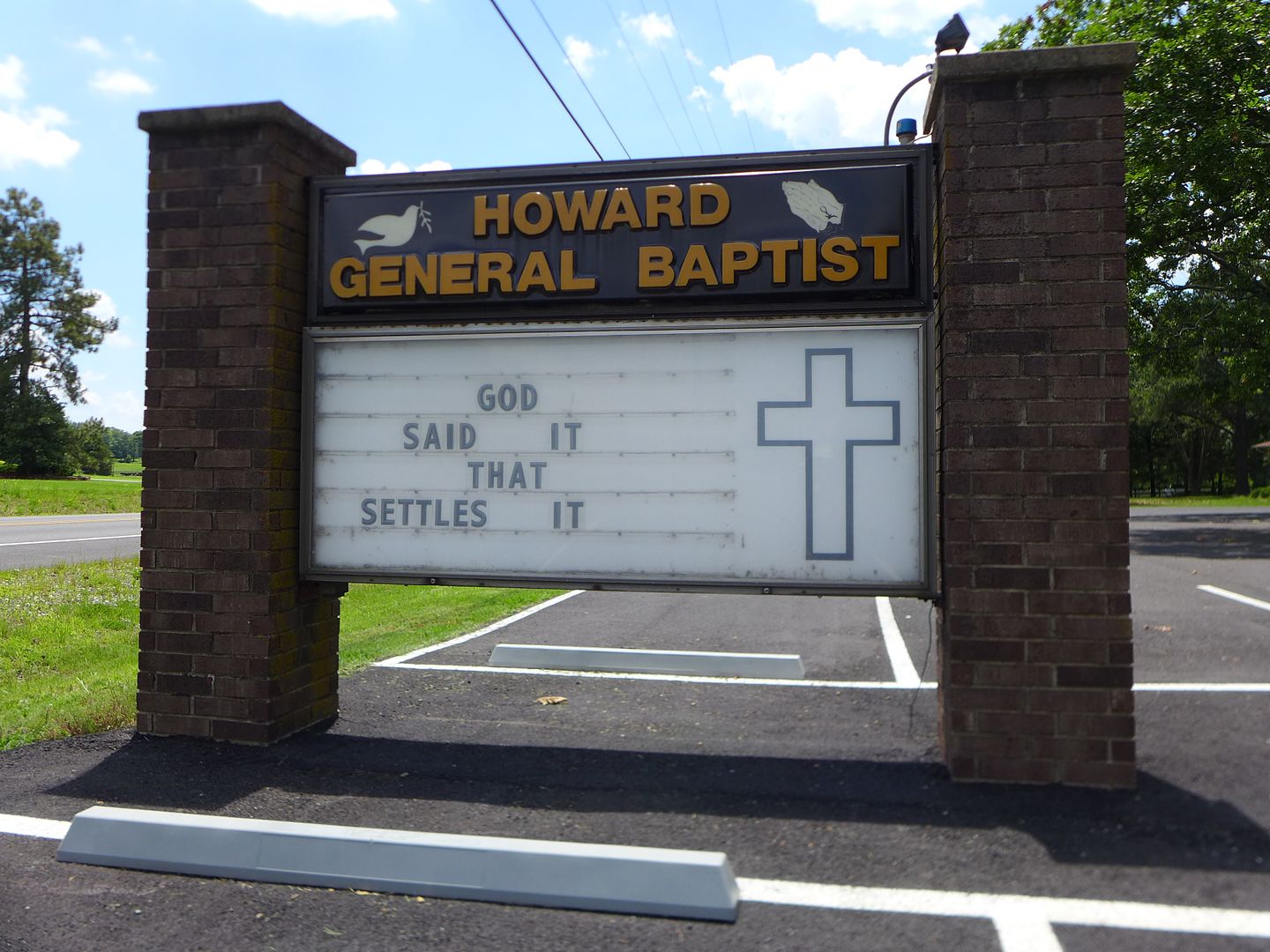
I was also in no doubt I had entered the bible belt:

Image
photo. It is indeed the eternal question...


Image
photo. I bet you just read that in a Mr T voice too ;o)


Despite riding mile after epic mile of backroads, that is not to say that Sunday wasn't without its fair share of rain too - goodness knows I got dumped on twice during the day, and the first time it was so immediate that I didn't even have time to pull over and don my rain-pants before I was utterly soaked.

Fortunately my timing was spot-on, and the rain showers happened during a brief respite from the particularly enjoyable intestinally twisty route I'd programmed into the GPS, and therefore I got to ride the best of the roads in glorious sunshine.
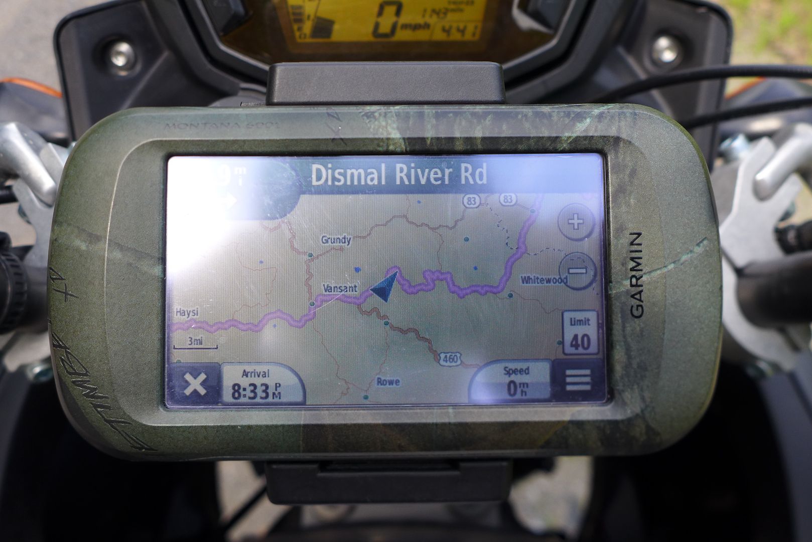
Image
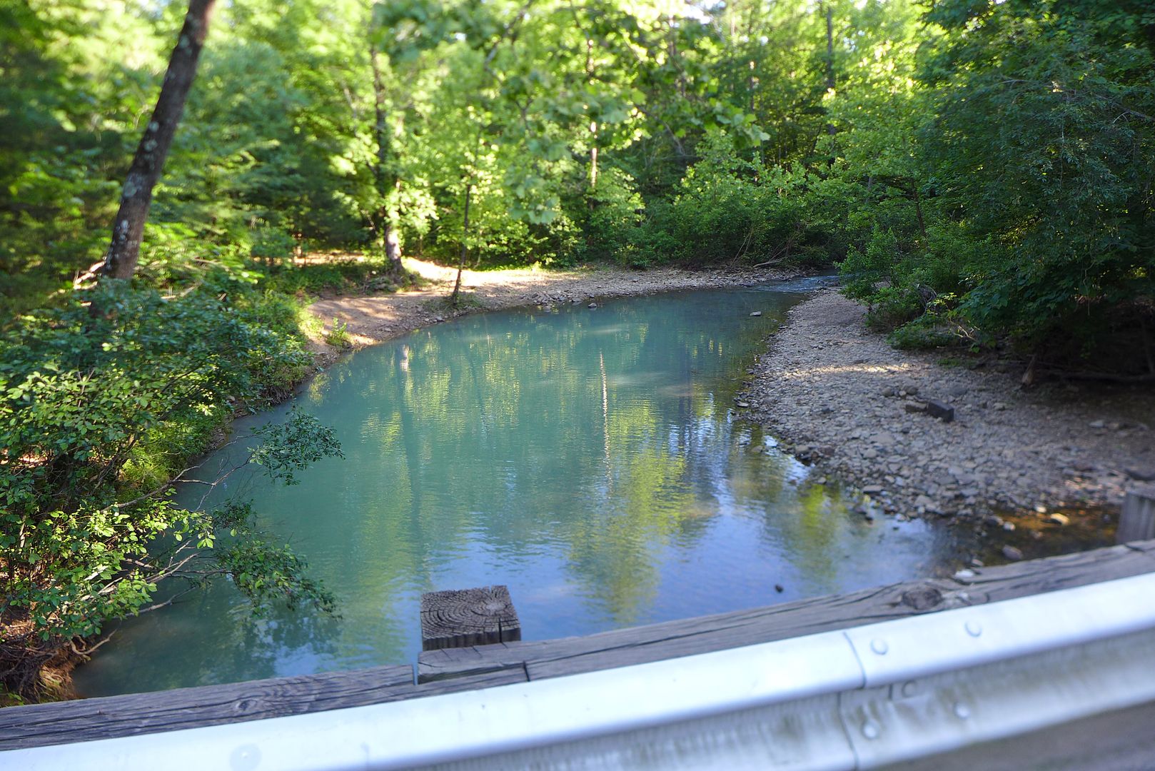
photo. The river might be considered 'Dismal' (actually it wasn't, it was beautiful!), but the road wasn't - another epic Alpine ride through the Appalachians!


When I finally reached Roanoke that evening, I was both tired and elated. It had been an intense couple of days in the mountains - 250 miles yesterday and not least nearly 400 miles today - straight after the thousand mile Iron Butt.

I landed an excellent deal at a motel on the outskirts of town (complete with laundry) and used the time to properly recuperate. I was now less than 300 miles from the east coast, the half way point of this trip now tantalisingly close, and my tires pretty much shot to pieces.

cont.
JMoandpiglet
Posts: 283
Joined: Wed Dec 19, 2012 9:58 pm
Has thanked: 8 times
Been thanked: 17 times

Re: Trans-Am 500 - the seven year itch

Post by JMoandpiglet »

Day 22: Roanoke VA to Virginia Beach VA - the end of the eastern leg.

Mileage today: 309

With the forecast not particularly good for the next few days, the plan was to hit the east coast as soon as possible, and then try and sort some replacement tyres before I headed back west too far - especially as I intended to ride the length of the Blue Ridge Parkway, and take in a few of the roads around Deals Gap before finally starting my dirt ride west on the Trans-Am Trail, so would certainly prefer fresh rubber to make the most of those inital highway miles.

Personally I feel the Continental TKC80 really is the best 'all-rounder' tyre for this sort of bike, and indeed during the development of the Adventure kit for the CB500X, John and I exclusively used the TKCs as we feel the compound and profile really optimises the balance between spirited on and off-road use. Other tyres are available of course... ;o)

Wanting to avoid the major highways as much as I could, I headed east for the last time, again on more minor roads (included a gem outside Roanoke called Dickinson Mill Road - I mention it if you're passing as there is a TA500 sticker somewhere along it's length ;o), and again enjoyed the tranquillity of the rural countryside, as I did my best to dodge the rain clouds, adjusting my route on the fly as I wound my way eastwards, towards the coast.

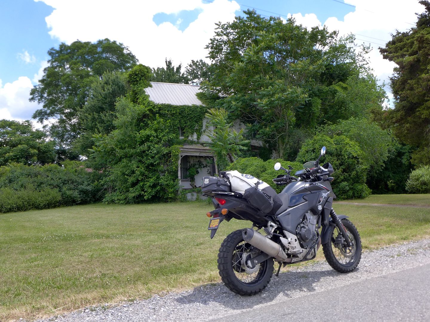
Image
photo. I had to stop and photograph this house - reverting to nature it would seem... I'm sure it could tell a lot of stories (including the one when a stuffed pig on the first CB500X Adventure in the US stopped by...)

More notable roadside memories from that final day heading east was a modest house with two shiny MGBs parked outside - I presumed the anglophile had bought the second one as ready supply of spare parts ;o)

Detouring onto a major highway to fuel up, I passed a huge billboard rather bizarrely asking: "Is it time for your screening colonoscopy?" Complete with a head and shoulders photo of a cheery looking nurse (presumably donning her rubber gloves just out of shot)... and pondered the popularity (and indeed wisdom in some cases!) of putting your face ten feet high on a roadside sign in an effort to promote your company. Certainly the most comical example was for a law firm that featured three (presumably) lawyers/partners in the firm all wearing dark sunglasses - looking like the Reservoir Dogs!

Image
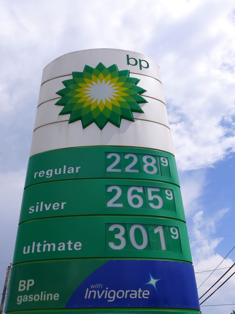
photo. Fuel is wonderfully cheap in Virginia - regular costs the equivalent of £1.50 a GALLON! (around a quarter of what we pay in the UK).

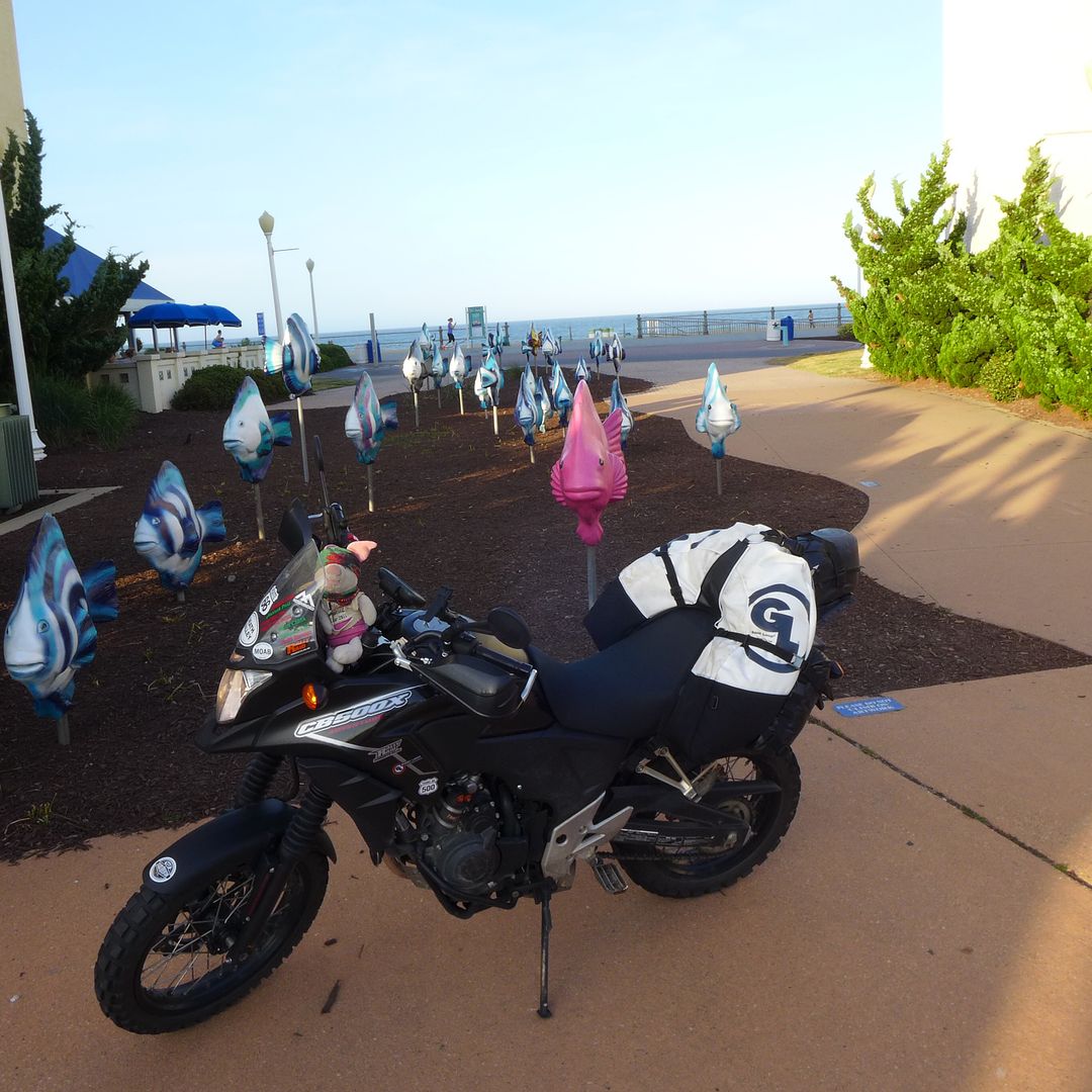
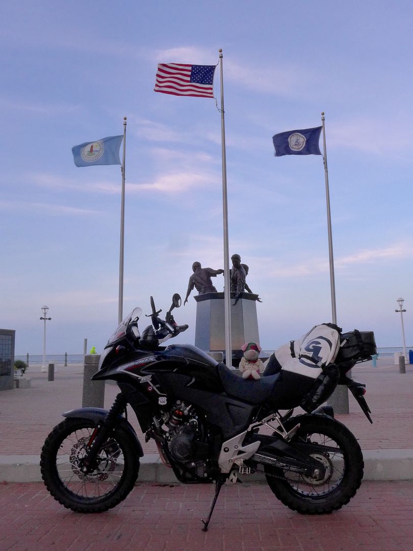
I finally reached Virginia Beach on the Atlantic coast at 7.05pm on Monday 1st June - three weeks after I'd left Alice's Restaurant south of San Francisco on the west coast.

Image


It was with a degree of melancholy that I purchased my VB sticker for the front of the CB-X - after all, while this was quite an achievement, at the same time, technically it meant this trip was already half over...

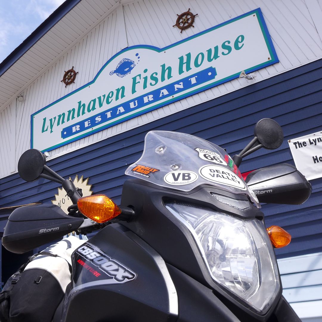
Fortunately the immediacy of the internet and my penchant for a triple espresso meant I was able to cheer myself up no end once I'd checked my email in a Starbucks, by celebrating this modest milestone with a slap up meal at a lovely fish restaurant on the north of the peninsular (that had been recommended to me via a message), and ultimately took comfort in the fact that the best was probably still to come!

Image


Certainly the journey east had essentially been an elaborate [series of] proving tests of the all-round cabability of the bike - both as a personal assessment, and to also provide valuable feedback to those peope who had developed the Adventure specification modifications.

I had effectively ticked all the key boxes - having ridden it over fast desert pistes and slow rocky technical terrain; embarked on a marathon high-speed highway haul and not least plenty of twisty backroads too - and through every element and atmospheric condition: high altitude, low altitude, heat, cold, wind and rain, and even snow!

What was immediately clear (and had become increasingly so as the trip went on and my familiarity with the machine increased) is how these modifications really have transformed the basic bike - making it so very much more capable off-road, while at the same time not at all compromising it's entertaining on-road abilities - indeed the high quality suspension actually means the bike feels even more composed and stable on the highway than before.

As I sat there supping the last of my Margarita, I had every confidence this would be the perfect bike for my much more personal journey back west, along the Trans-Am Trail.

But first there was the small matter of two worn out tires to replace, together with a number of invitations to enjoy a little more of what the eastern side of the country has to offer. I just hoped the rain would stay away.

Of course it didn't.

But that is a story for another day...

More soon!

Jenny x
JMoandpiglet
Posts: 283
Joined: Wed Dec 19, 2012 9:58 pm
Has thanked: 8 times
Been thanked: 17 times

Re: Trans-Am 500 - the seven year itch

Post by JMoandpiglet »

Tuesday 2nd June Day 23: Virginia Beach VA to Roanoke VA.

Mileage today: 301

So, a few numbers before we continue the story...

On reaching the east coast, according to my daily log (via the GPS) I'd ridden 4770 miles from when I picked the bike up in Bend (with just 773 miles on the clock), and so effectively the official west-east leg of the Trans-Am 500 route from San Francisco to Virginia Beach was 4259 miles, including that week in and around Moab - and therefore pretty much what I'd imagined (ie. around 4000 miles to cross the country).


Trans-Am 500 part 2: the way back west...

Image
photo. My official start point for the return leg was the Lynnhaven Fish House restaurant on the north shore of the First Landing peninsular above Virginia Beach. This is where I had my celebratory meal the night before, and I can confirm that even shellfish taste better when wrapped in bacon ;o)


First Landing (now a State Park) is notable for, well, you can probably guess by the name actually - is where the first British settlers arrived in North America in 1607, and established a permanent community that was in effect the foundation of the British Empire.

The surrounding bay provided a huge natural harbour, and Virginia itself became a key gateway to the rest of the country and remained an independent British colony until you guys got a bit shirty about all that stuff in 1776... This little historical nugget certainly explained the huge number of towns, cities and counties in the surround area that share their name with a British counterpart.

Being over 400 years late to this particular party, I instead busied myself with the far more pressing matter of sourcing some new tyres for the Honda. Fortunately I'd received a couple of good leads via the ADVrider forum - where local knowledge suggested that a BMW dealer might be my best bet to find some actually in stock.

Sure enough, a few phone calls lined me up with the correct sized rear at an independent garage in Charlottesville that afternoon, while I could get a new front TKC fitted at a main dealer in Roanoke the following morning - which rather fortunately was right on the Blue Ridge Parkway (that I intended to ride in its entirety over the coming few days anyway), and not least was the location of that very comfortable and affordable hotel that I had already stayed in - result!


Image
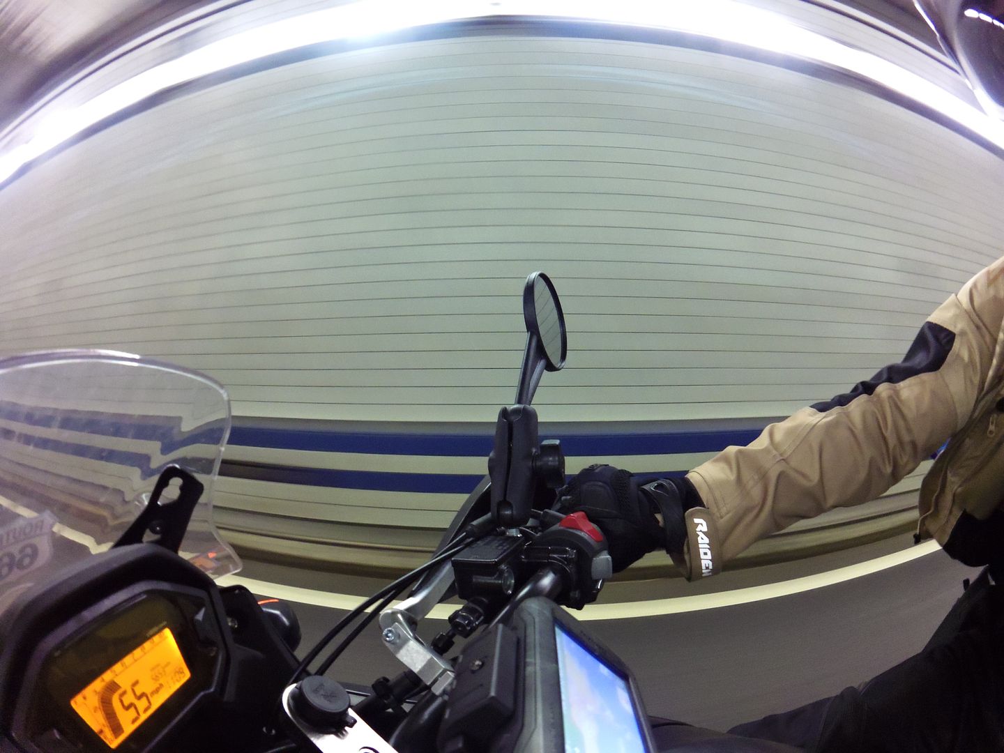
photo. I'm a few hundred feet under the bay here, heading north towards Hampton - who knew they'd only build a bridge half way across, and the rest was a tunnel!


A social butterfly...

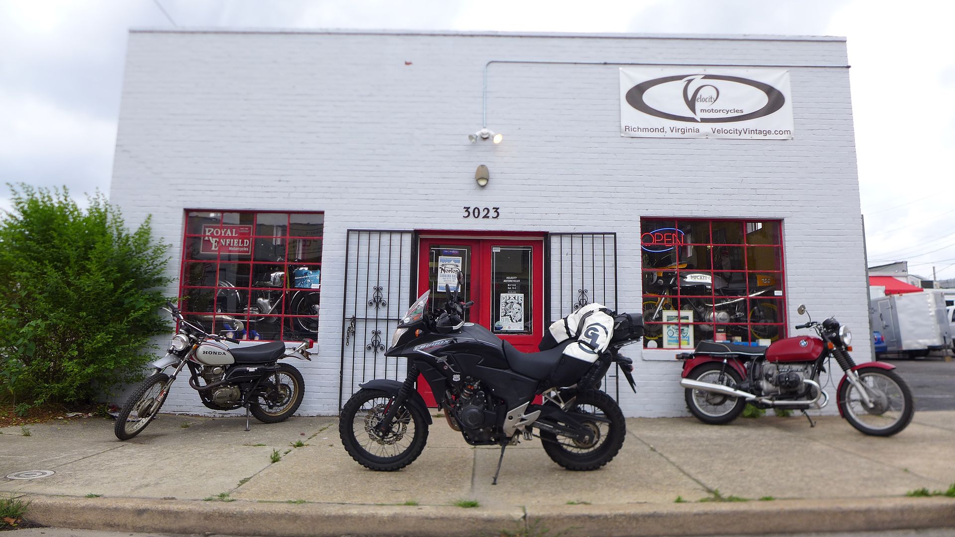
En route I stopped off briefly in Richmond to say hello to ADVrider Champe who was keen to see the bike, and we'd arranged to met at a cool little independent vintage bike shop on the outskirts of town - and who made me very welcome, thank you!

Image
photo. Velocity is full of cool and quirky stuff - and is one of the very few Royal Enfield dealers in the USA!

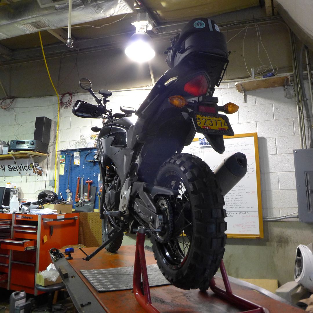
It was then on to Charlottesville a few miles further west to meet up with Anton who runs Virginia Motorrad (an independent BMW specialist) who was able to fit my rear tyre while I waited, and we were joined by fellow ADVrider Ted who'd been such a help (via email) in suggesting Anton in the first place, and was also keen to check out the CB500X himself - again, thank you both for your help and hospitality!

Image


With a suitable new rear boot fitted, I still felt there would be time to make a start on the Blue Ridge Parkway - particularly now, late in the afternoon, with the sun setting - it would be the perfect time to embark on the initial leg to Roanoke and take in the stunning scenery.

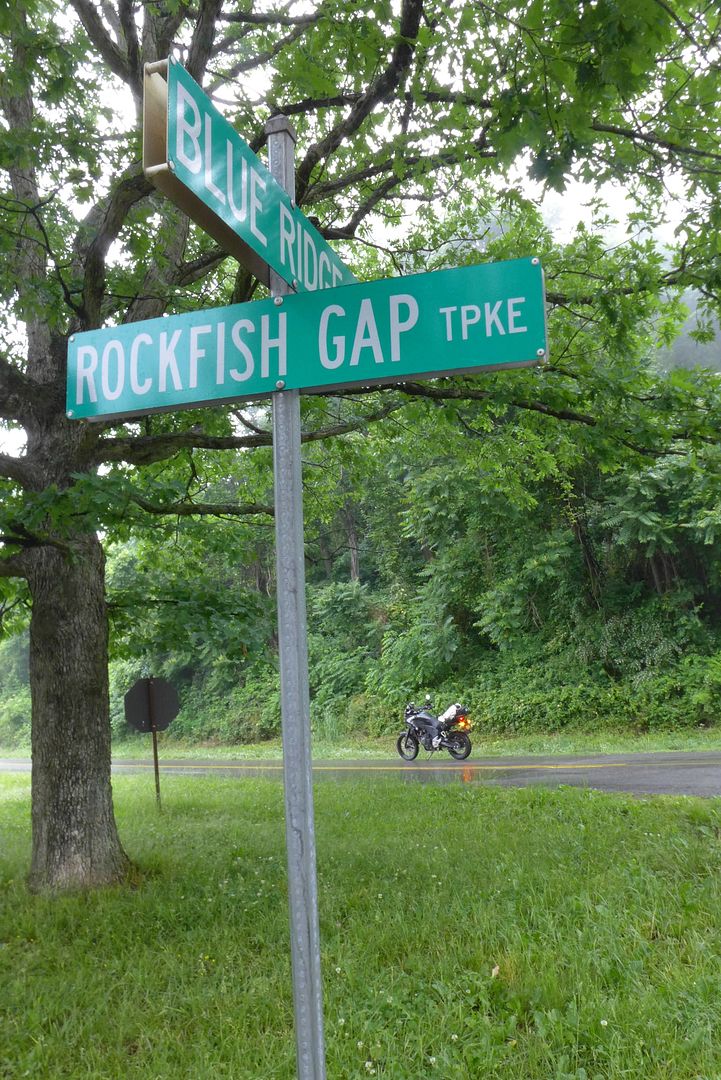
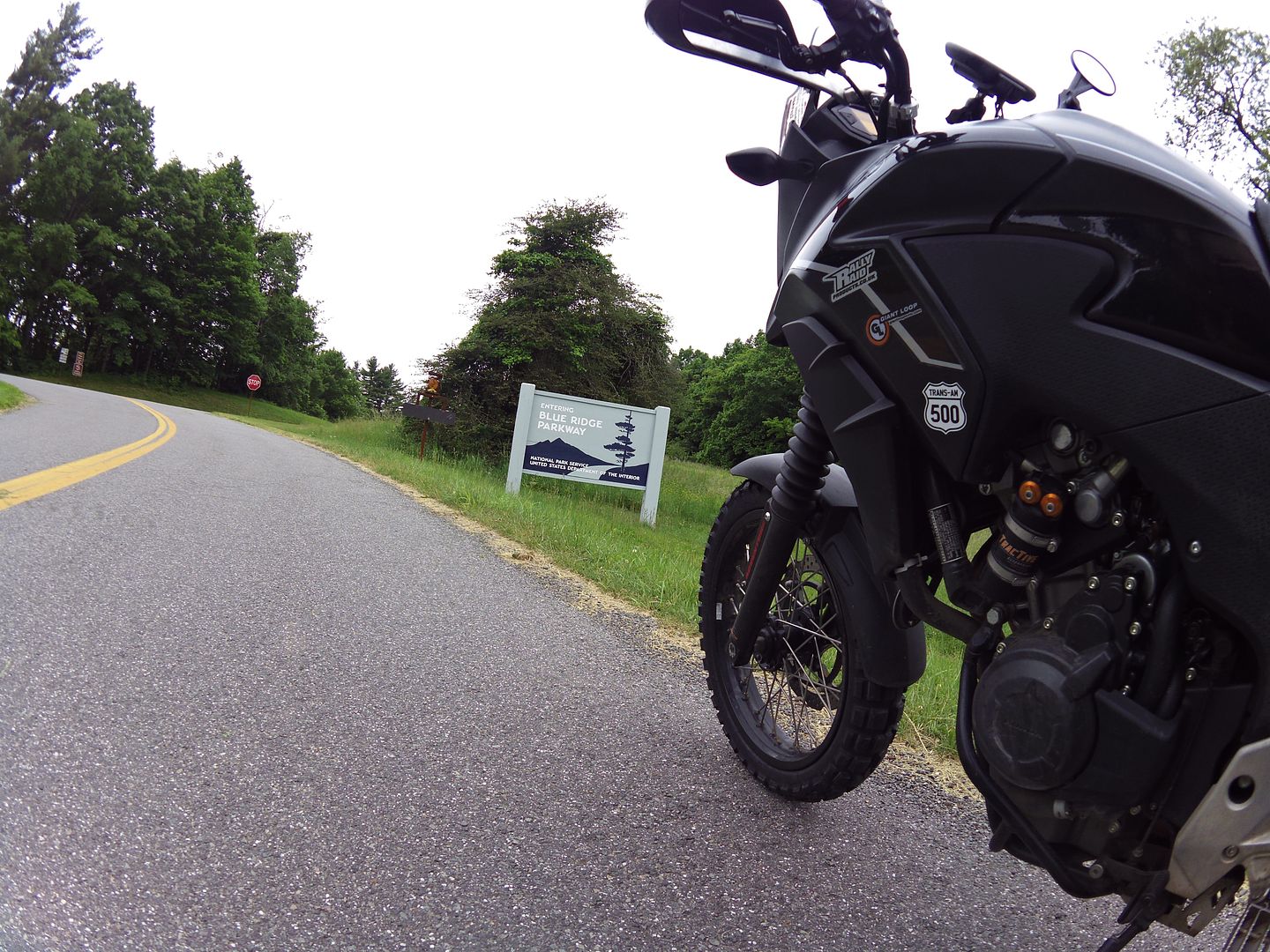
Of course the Parkway essentially runs along the backbone of the Appalachian Mountains (for 469 miles in total), and is typically at 3000+ feet elevation for the vast majority of its length. Ted had warned the weather had been damp all day, and sure enough, as I climbed higher towards the entrance gate, the fog closed in, and the rain came down:

Image
photo. It was already raining harder than it looks here... Very disappointing.

However, not one to shirk from a challenge, I pressed on:

Image

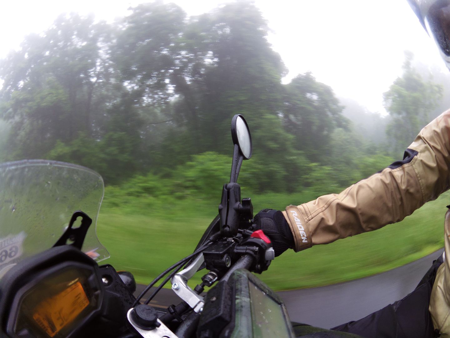
But to be perfectly honest, there was no joy at all when often I could barely see 30 yards ahead of me, never mind anything of the scenery despite the odd break in the fog when the elevation dropped occasionally:

Image
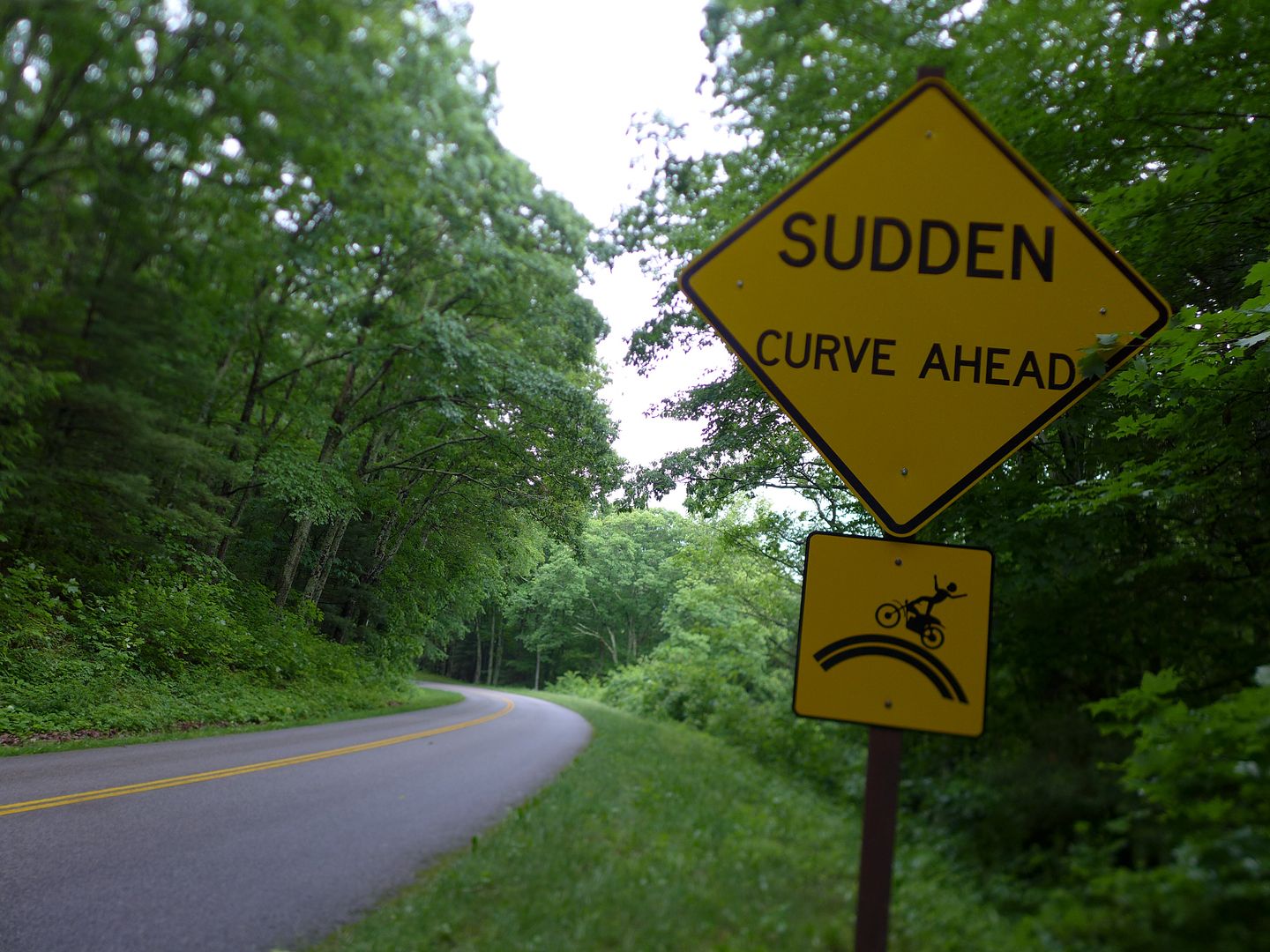
photo. It was actually proving pretty dangerous up there in the fog, especially with bends like this...

Unlike those heavy and almost tropical showers I'd experienced at the weekend, this was that horrid cold rain that soon chills you to the bone. Coupled with alarmingly poor visibility at times, this soon became more that just a test of physical endurance - it was bordering on dangerous. Ultimately after about an hour (and barely 50 miles), I decided to take a side road off the mountains and head straight for the hotel. Well, this is supposed to be fun, right?

Cont.
JMoandpiglet
Posts: 283
Joined: Wed Dec 19, 2012 9:58 pm
Has thanked: 8 times
Been thanked: 17 times

Re: Trans-Am 500 - the seven year itch

Post by JMoandpiglet »

Day 24: RoanokeVA to Asheville NC.

Mileage today: 292

Sadly the weather the following morning was no better than the evening before - there were meant to be mountains somewhere outside my hotel window, but I was damned if I could see them.

Having scheduled my front tyre fitting for first thing, I donned my waterproofs and dragged across town hoping that somehow the sun would break though and lift this cold dank blanket of fog.

An email offer to join a bunch of Asheville based ADVriders a couple of hundred miles south and across the state line in North Carolina was a very tempting alternative. Asheville is also right on the Blue Ridge Parkway, so perhaps I could pick up the road further south if the weather was better...

It wasn't. Well, not by much anyway - I did try and join the Parkway as I crossed the mountains into North Carolina, but it was to no avail, and I ducked off once again into the relative balm of the lower elevations.

Image

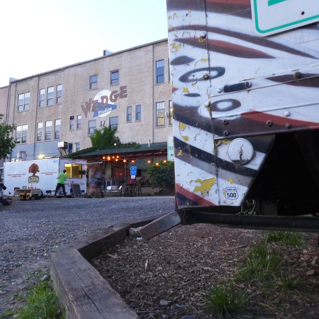
However, the resulting and rather tedious interstate journey was ultimately well rewarded with an excellent fun night our with a great bunch of fellow ADV riders - gassing and chewing the fat until nearly midnight, while actually eating outside on a restaurant patio. You know I think I could get to like the weather here in No' Calina!

Image
photo. We initially met at the weekly Bike Night at the Wedge Brewery - if you're ever in town I can recommend their beers, and you might just spot another TA500 sticker ;o)


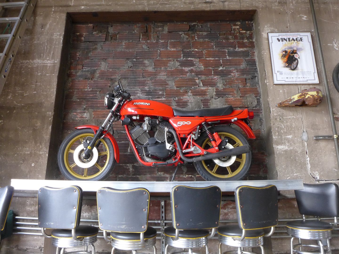
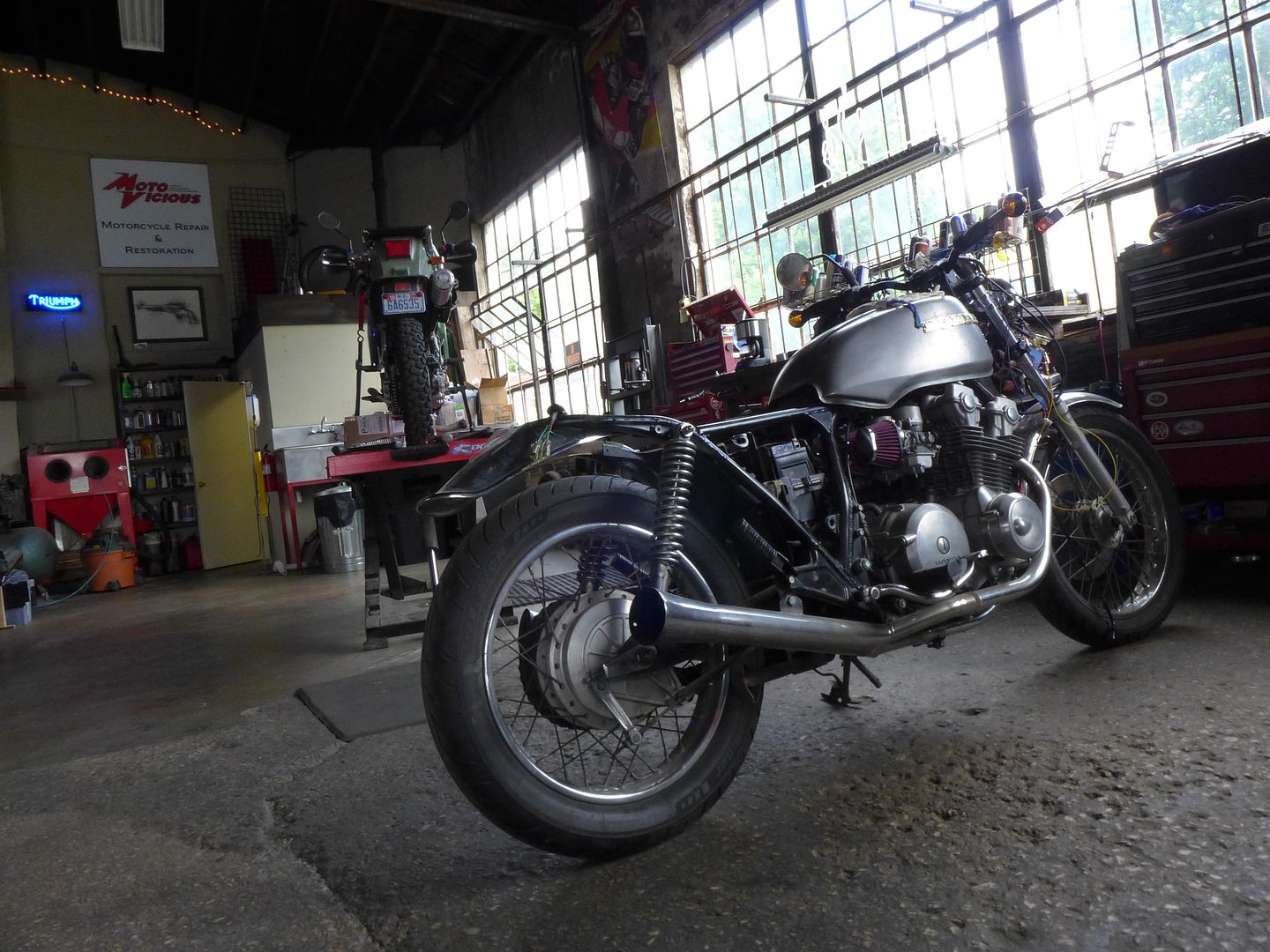
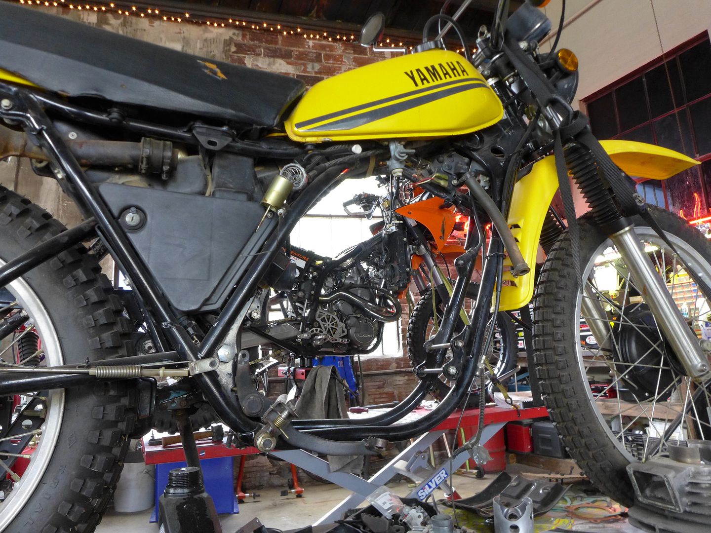
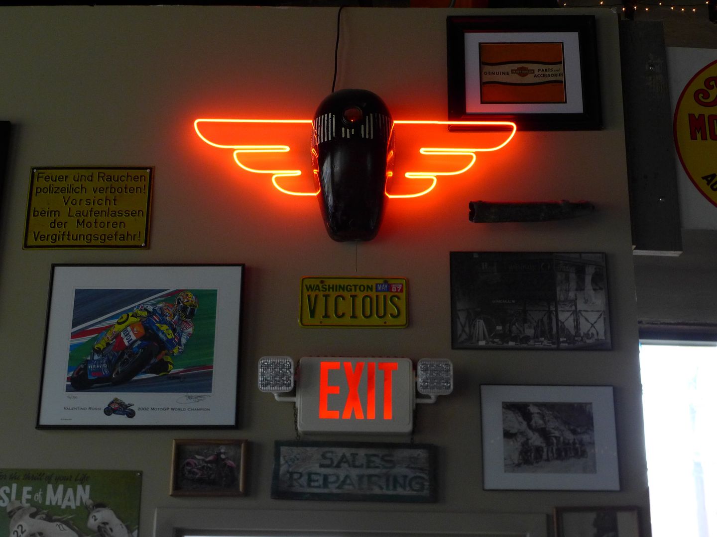
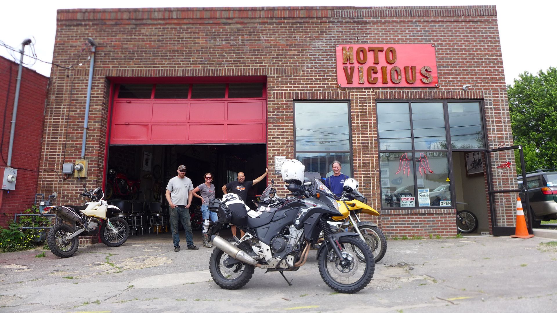
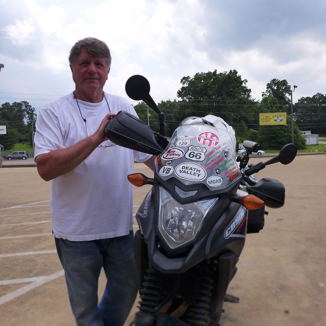
With a break in the weather forecast for the following day, a handful of us had decided we should meet up the next morning at a local independent bike workshop: Moto Vicious (run by James and Sean who I'd been introduced to the night before) - this was one cool hang-out!

Image
photo. A bike shop. With a breakfast bar. With a Moto Morini on it - who'd have thought it?!

Image
photo. It was a beautiful workspace, full of quirky machines. This CB750 is going to become a sidecar outfit!

Image
photo. These guys can work on anything. But it seems the more odd-ball the better!

Image
photo. When not working on bikes, they also make really cool stuff out of old parts - and everywhere you look there is some curio and some lovely retro memorabilia!

Image

Cont.
JMoandpiglet
Posts: 283
Joined: Wed Dec 19, 2012 9:58 pm
Has thanked: 8 times
Been thanked: 17 times

Re: Trans-Am 500 - the seven year itch

Post by JMoandpiglet »

Day 25: Asheville NC to Knoxville TN.

Total mileage: 235

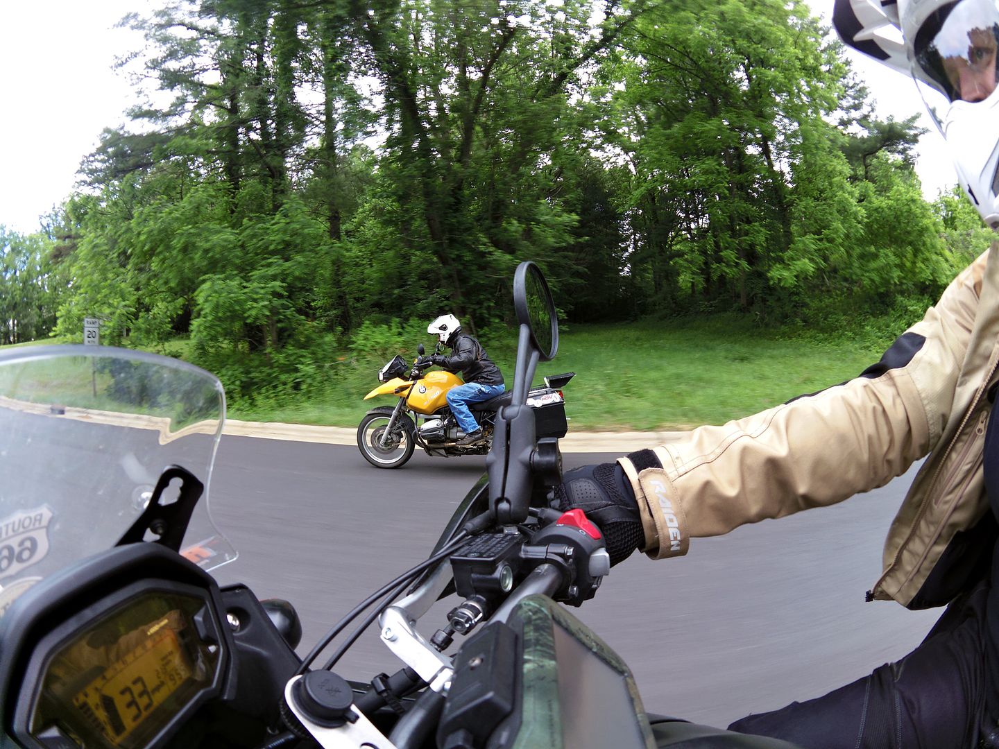
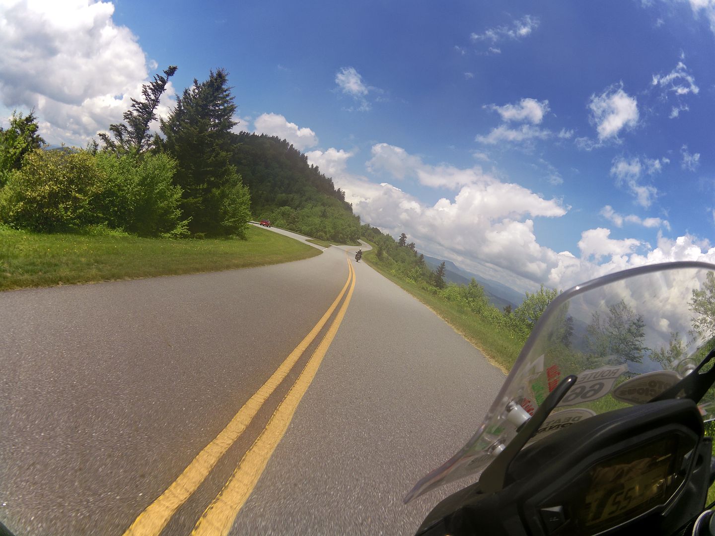
With stickers exchanged and a cheery goodbye, I then teamed up with Shane, Alan and Laura (all of whom had made various excuses to take the day off work) and we were rewarded with some fine weather in which to ride various (and arguably the most impressive) sections of the Blue Ridge Parkway south of Asheville, together with some excellent side roads and dirt trails that wound their way up and down each side of the mountains - such is the benefit of riding with the locals ;o)

Image
photo. ADVrider Anatic (Shane) on the BRP - I have him to thank for introducing me to such a great bunch of people, and really look forward to visiting you guys again in the future!

Image
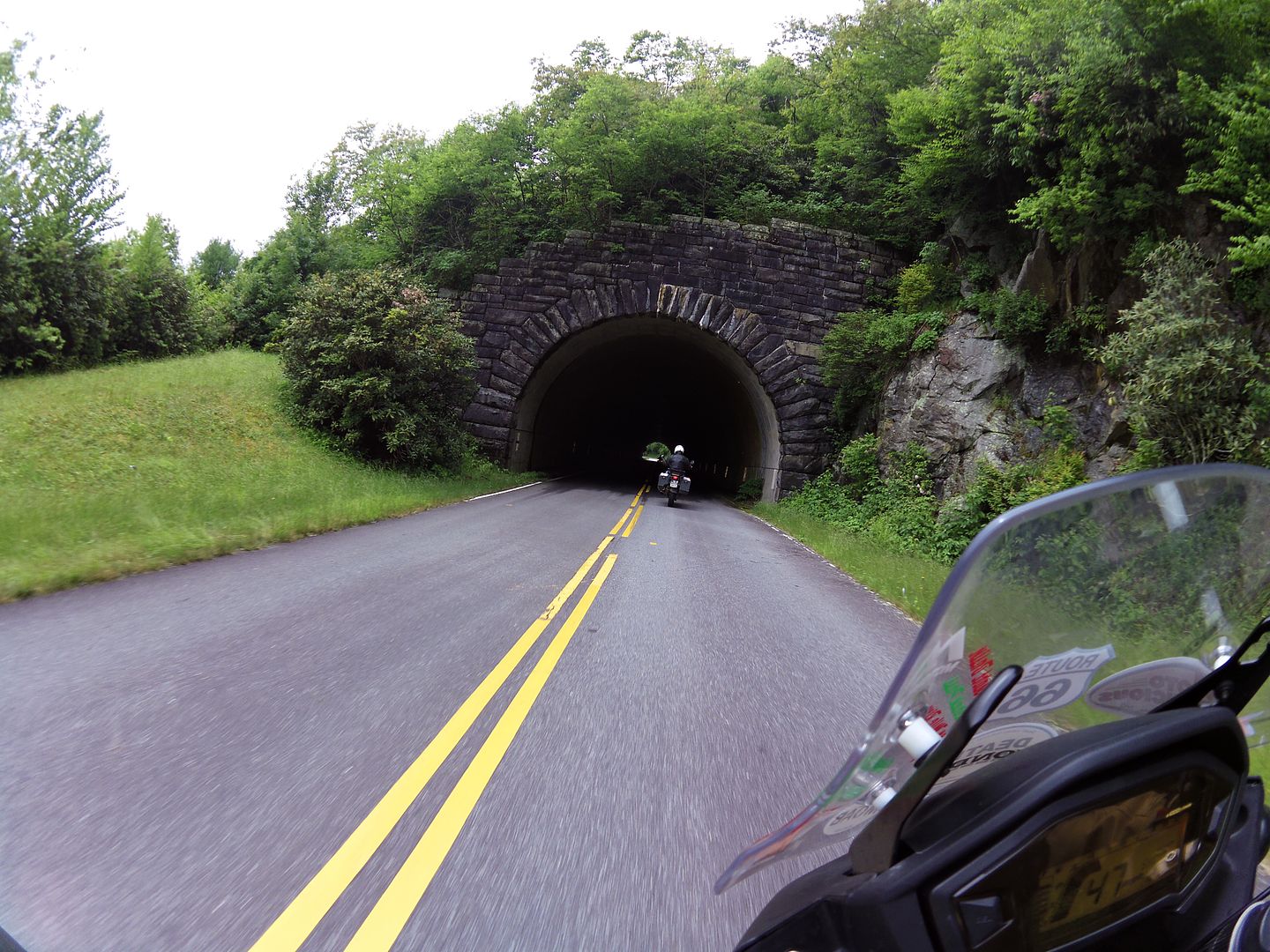
photo. The Blue Ridge Parkway south of Asheville NC even includes tunnels!


Image
photo. By early afternoon, the sun had well and truly broken through...


Image
... and we were rewarded with some mercifully empty roads and stunning views! This was the Parkway I had come for!


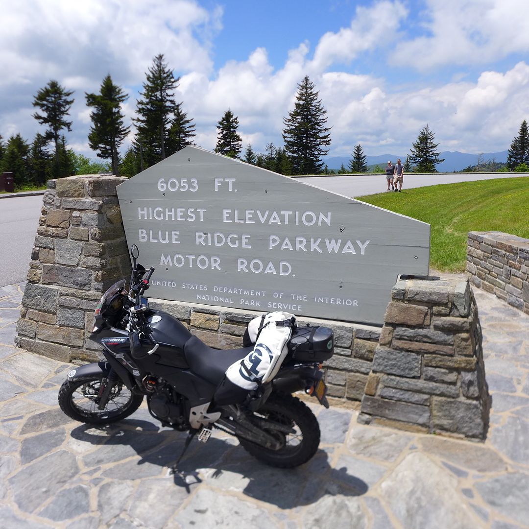
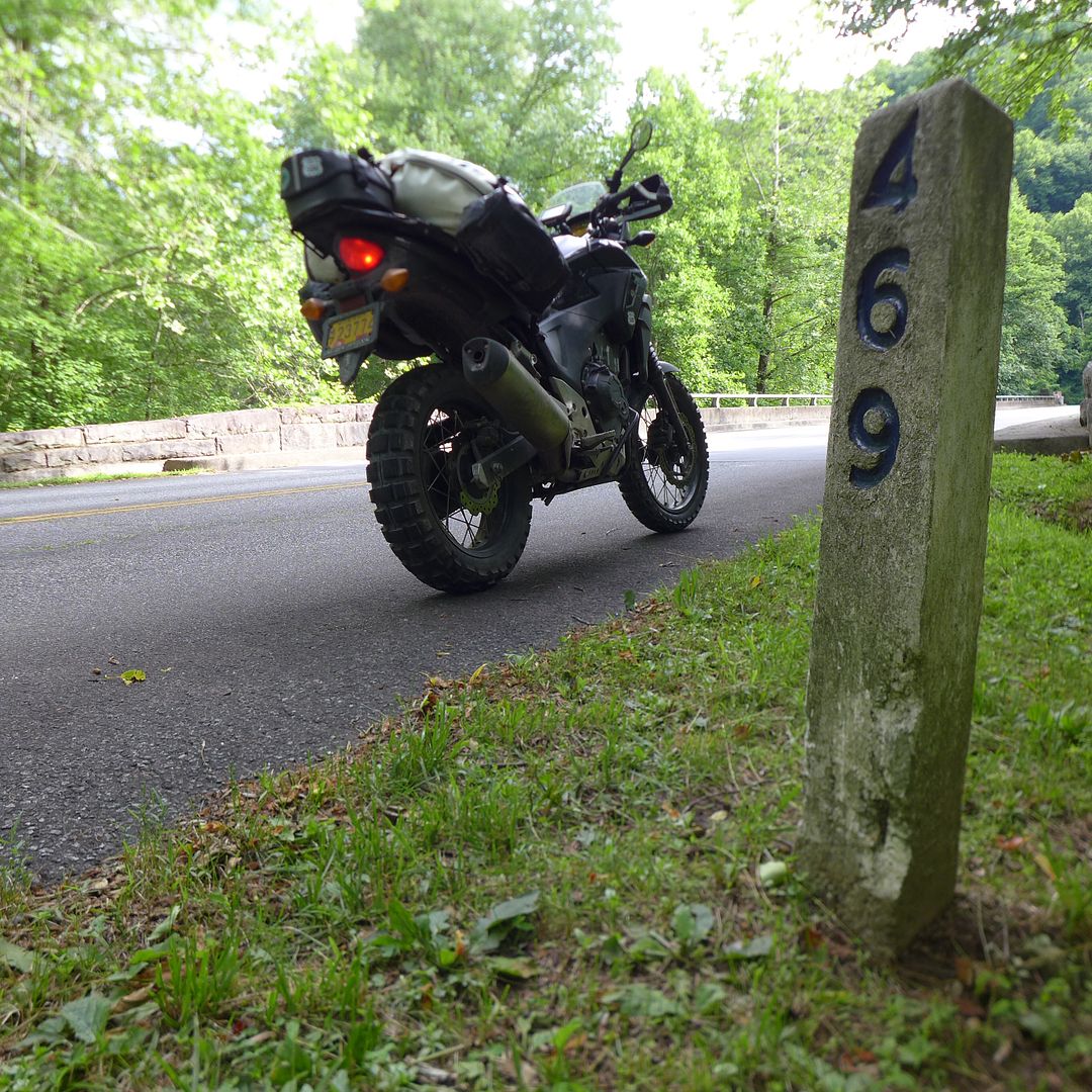
I eventually waved goodbye to the remaining Ashville Massive somewhere between Hoontown and Canerville ;o) - and rode the remainder of the Parkway at a much more sedate pace, pausing briefly at the final mile-marker 469 just outside Cherokee on the southern edge of the Great Smokey Mountains National Park.

Image


I have ridden through the park once before, and recall it was a tedious procession of tourist cars and RVs on a single lane 30mph limited road, albeit the view sideways at least was very pretty as you might imagine.

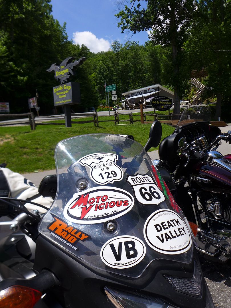
However, more importantly I was but a stone's throw from some of the best biking roads in the region; and not least the infamous Deals Gap and the Tail of the Dragon: Highway 129.

Now it seems to be done-thing these days to say the Dragon is 'crap' and that there are better roads in the region, blah blah blah... and it's true there are some stunning alternatives that surround the sinuous crossing between North Carolina and Tennessee...

Image
photo. Looks like the perfect (if somewhat rather obvious) spot for another TA500 sticker Piglet...

But there is a reason that this particular 11 mile section of highway 129 has the reputation it does, and thats because it is, quite frankly, an awesome road to ride!

Of course you have to choose your timing wisely. You don't really want to be riding on a weekend afternoon amongst the parade of pirates on their bedecked behemoths... Nor fighting for space (and the inevitable attention of the local constabulary) with the squids on their battered street-fightered sports bikes.

The locals tend to ride on a weekday, early in the morning; or alternative towards the end of the day in the early evening light - after everyone else has already gone home. Similarly this is my favourite time to ride anyway, particularly on such a scenic highway when the fading light somehow makes everything seem all the more richer in colour.

Image

Having wound my way up to Deals Gap on the beautiful lakeside ride along neighbouring hwy 28, I hadn't realised that the resort motel would be quite as busy as it was (it was only Thursday after all), even at this time of year... and with no vacancies at all, I elected to continue north and try and find some affordable accommodation nearer to Knoxville.

Of course this also meant riding the Dragon in what were now perfect conditions, cool evening breeze, dry road, no traffic whatsoever. What a way to end a fantastic day of riding in one of the most beautiful parts of the country - and also a the perfect way to wrap up what had been a week of excellent road riding in general.

But I'd come this far, and this way in particular, for a fundamental reason. My mission, which I have chosen to accept, is to ride the Trans-Am Trail - the brand new 2015 revision Trans-Am Trail no less! - in its entirety!*

*or at least as close to possible as the weather will allow at this time of year...


Day 26: Knoxville TN to Murphy NC.

Mileage today: 140

Of course to get south towards the start of the TAT today meant riding the Dragon again, this time in the opposite direction - and once again I was blessed with a mercifully traffic-free run back up the hill (plenty of traffic coming the other way mind you). I did eventually catch up some slower vehicles just a mile and half from the top, so simply pulled over and let them get far enough ahead so that the remaining run would be clear...

Because of my late-ish start this morning, and general meandering around the myriad of fantastic roads in the region, coupled with the fact I wasn't sure how long the initial new stages of the TAT might take, I elected to find a motel early this afternoon - embark on a little laundry and to get completely up to date with my ride report - and which in turn, would allow me have the whole day ahead of me...

It all kicks off tomorrow morning in Andrews NC, and I will of course do my best to take you all along for the ride... So please, do join me for this final chapter of the Trans-Am 500 ride!

Jenny xx
JMoandpiglet
Posts: 283
Joined: Wed Dec 19, 2012 9:58 pm
Has thanked: 8 times
Been thanked: 17 times

Re: Trans-Am 500 - the seven year itch

Post by JMoandpiglet »

[CENTER]The 'new and improved'* Trans-Am Trail: 2015 edition

*Now fortified with extra trails, including TWO new States!
[/CENTER]


Day 27: TAT Day 1: Andrews NC to Monteagle TN.

Mileage today: 248 (TAT: 225)

So in an effort to try and update you all as regularly as possible while I'm riding the TAT over the next few weeks (not least as I may well be camping a lot more regularly where circumstance allow, both to save money, and also because I actually quite fancy it now that it finally feels like summer at last!), I will try and keep my words brief, and hopefully let the photos do the talking instead...

That said, I feel I really ought to set the scene at least, and describe my first Ten hours on the TAT into Tennessee today!

As part of the ongoing revisions to the Trans-Am Trail (the original concept of course was a full coast to coast crossing of the USA on dirt trails and minor roads), the originator Sam Correro has also been busy extending the original distance to incorporate two new States: North Carolina at the beginning, together with Idaho towards the end (as an alternative to the hot and dusty desert trails in Northern Nevada).

The original start of the TAT was in Tellico Plains TN, which rather neatly coincides with the end of the fantastic Cherohala Skyway (hwy 143 in NC / 165 in TN), that in turn leads from the hub of fantastic riding roads around Robbinsville in North Carolina.

Indeed, if you plan to ride all the way from the east coast, then the 469 mile Blue Ridge Parkway also ends not far on the other side of Robbinsville, therefore linking up the TAT route very neatly with some beautifully scenic* road riding before you get down to business in the dirt.
*when it's not teeming down with rain of course...
Having stayed in Murphy the night before it would be a short hop back up the highway, where I could also refuel the bike and top up my rucksack with snacks and water.

Image
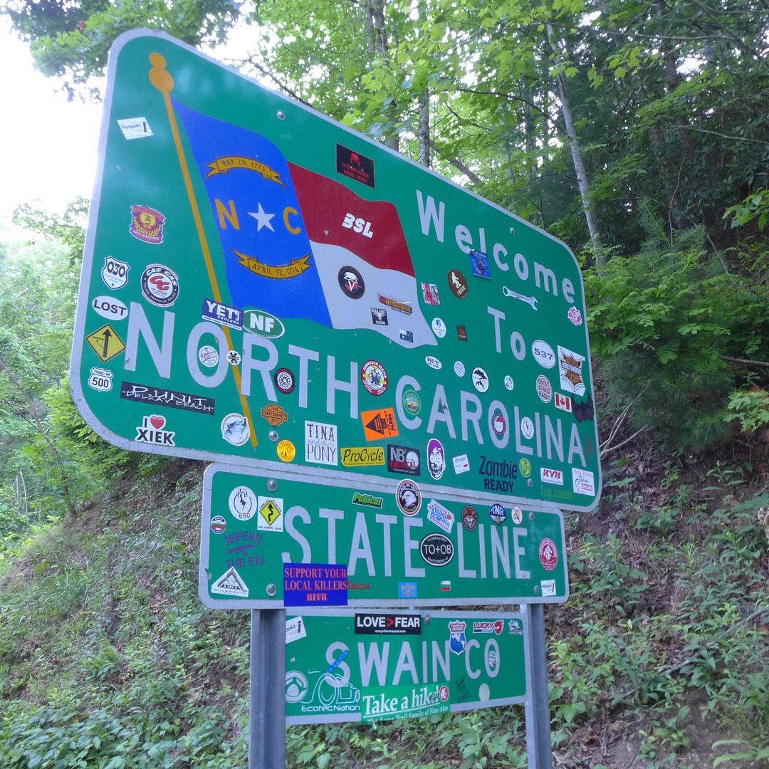
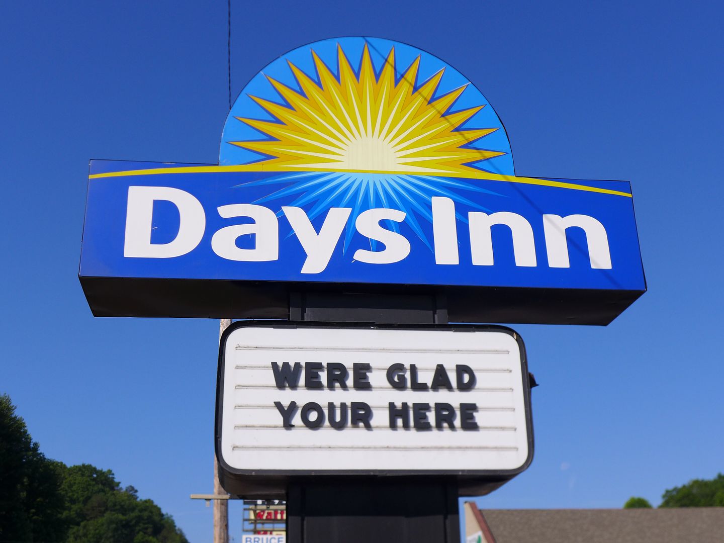
photo. I'm sure the spelling and punctuation pedants amongst you (and indeed I am one) will be having palpitations at this sign... fear not, I did diplomatically point out the errors to them before I left, otherwise it would be heartless of me to post it here.


North Carolina

So with my initial destination set as the corner of 2nd and Locust street in Andrews, I selected the first of a series of Track routes that were stored in my GPS, and soon Piglet and I would finally be on our way!

Image


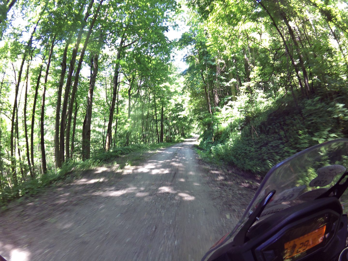
The first trail section is a terraced gravel road that climbs high into hills. It was already pretty warm down in the valley, so the shade from the trees (under which I was riding most of the morning) together with the ever-increasing elevation, was a welcome relief:

Image

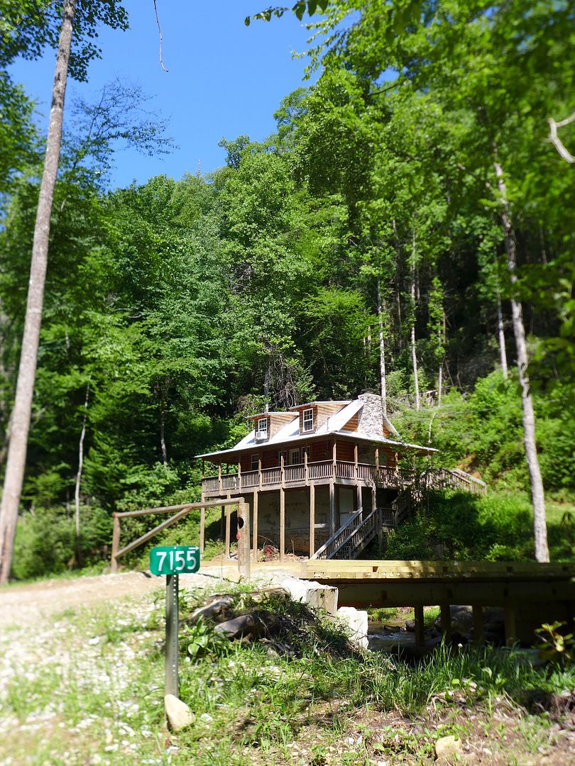
As the trail wound its way north towards the Cherohala Skyway, it dipped down into a beautiful valley that was dotted with holiday homes - some rather fancy:

Image

... an others not so much. But hey, even a ramshackle caravan is paradise when it's in a location like this!


Having joined hwy 143 briefly for a few joyous bends, the trail then descends to the north just before the official start of the Skyway section. Again, it is more a scenic gravel road than a hardcore trail, but a beautiful way to break yourself into the journey ahead - there will of course be plenty of more challenging riding to come over the following weeks.


Tennessee

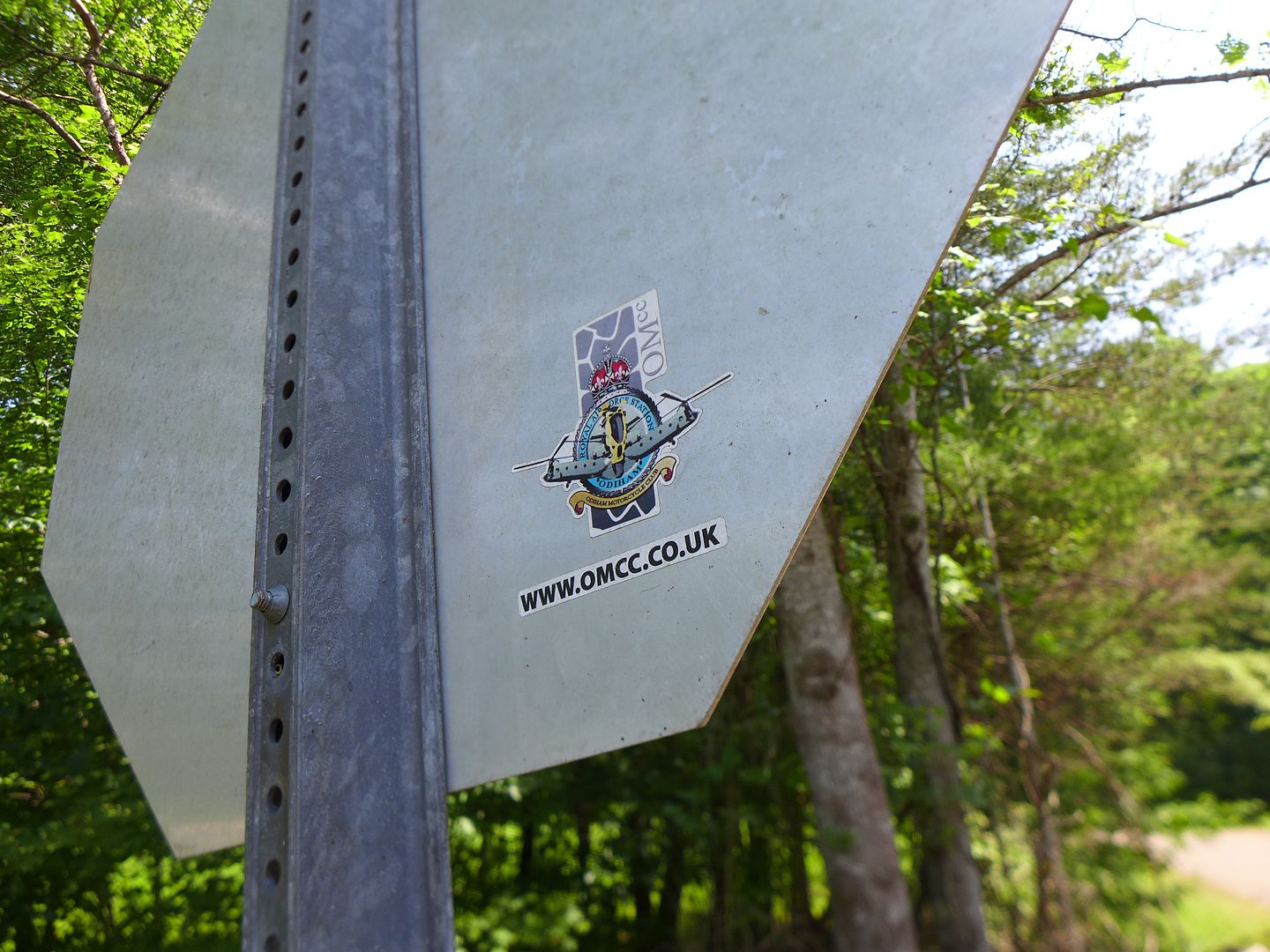
Topping off my tank and grabbing a sandwich for lunch in Tellico, I was soon back on the TAT proper, and spied this sticker on the back of a sign as I turned off the main highway:

Image
photo. seems some fellow Brits had been here before me...

So I of course also marked the start of the Tennessee section in a similar if slightly more subtile manner:

Image


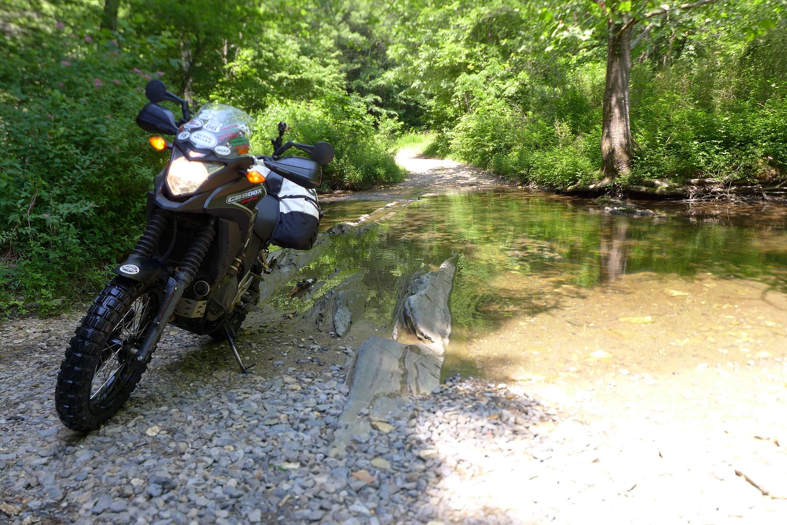
Again the dirt started soon enough (I love those 'Pavement Ends' signs!), and this time was a little more rocky and technical, and was soon followed be a series of shallow creek crossings...

Image


One crossing in particular I recalled from a photo I'd seen in a ride-report, and was aware that the angled slab rocks below the surface can be both slippery and uneven. I played it safe and walked the bike though, and although my feet were subsequently soaking - it was actually a welcome relief from the humidity and heat.

Image


As I had essentially started the TAT a couple of days later than I had originally planned, I endeavoured to try and cover as much ground as I could today - if only to give me some margin for a little later in the trip.

One of the criticisms of the original TAT route in Tennessee is the large proportion of tarmac vs. dirt, coupled with what appears to be a rather convoluted route on minor rural roads simply to avoid major highways.

Image

I have to say, while I was enjoying the afternoon immensely, I can see their point - and I know that Sam has been taking steps to simplify the Tennessee route in an effort to keep you moving westwards... Certainly if you zoom out on the GPS you can see that despite the myriad of twists and turns you are almost always heading west... and just when you might feel be getting a bit bored of all this rural pavement, he throws in an absolute gem such as switchback climb up Daus Mountain Road - truly a highlight of the day!

If nothing else, today had already highlighted just how perfect a bike like the Rally-Raided CB500X is for what is fundamentally going to be the core of this whole two-month endeavour. It was wonderfully surefooted over the dirt and gravel sections; more than manageable during the creek crossings; and an absolute blast to ride on the tarmac when you might otherwise be cursing your choice if onboard a more traditional dual-sport thumper.

After all, the Trans-Am Trail isn't just about the dirt. It's about crossing the country on the road less travelled. I couldn't help be think that Piglet and I had made exactly the right the choice.

Toot toot for now!

Jenny xx
JMoandpiglet
Posts: 283
Joined: Wed Dec 19, 2012 9:58 pm
Has thanked: 8 times
Been thanked: 17 times

Re: Trans-Am 500 - the seven year itch

Post by JMoandpiglet »

Day 28: TAT Day 2: Monteagle TN to Counce TN.

Total mileage:261 (TAT 244)

So I'm bopping along more minor roads through the rural heartland of Tennessee, wondering indeed if there is any dirt at all on the Tenessee TAT sections, but enjoying myself in any case on the eager CB... particularly as today I've got Sophie B. Hawkins right beside me (or more accurately right inside my head, so good are my Skullcandy earphones ;o) when I see this sign at the side of the road:

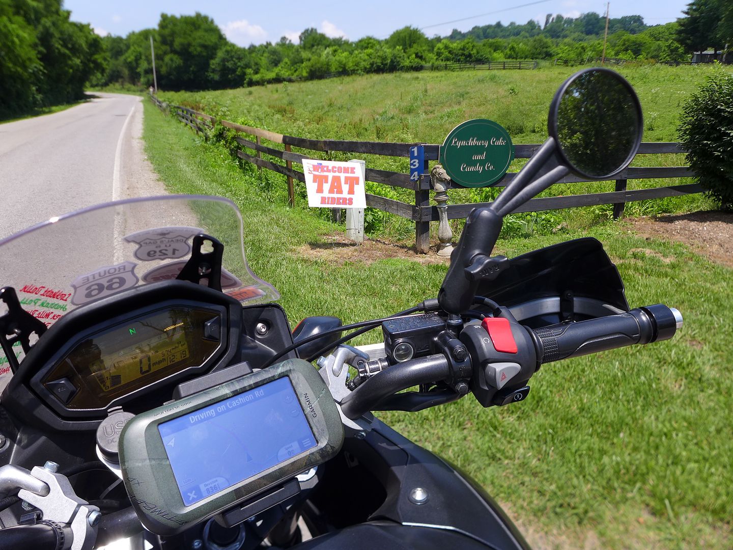
Image

A company that makes cake and candy? I was like a moth to a flame!


As Bill the owner explained how they make their signature Whiskey cake with Jack Daniels, it dawned on me that I probably wasn't all that far from Lynchburg (although I had presumed I was now much further west as Lynchburg hadn't felt all that far from the North Carolina boarder last time I was here)... On returning to my bike, I zoomed out on the GPS and of course it turns out that Lynchburg is barely a mile away from the TAT route at this point - duh!

So it seems that Sam has done his best to add an interesting side-bar to anyone who might be getting a bit bored with all the tarmac TAT through Tennessee (although again I would suggest that is purely perception, and very much down to your choice of bike ;o). Either way, the last time I was here I thoroughly enjoyed the [free] guided tour around the Jack Daniels distillery, and would recommend it to anyone.

On this sunny Sunday afternoon the carpark a the distillery was heaving, and anyway I had a far more pressing need to find some lunch as I'd forfeit breakfast this morning:

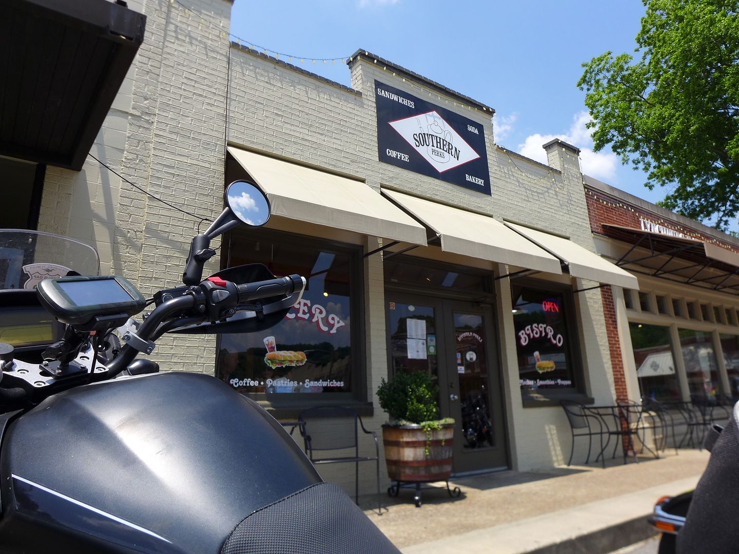
Image
photo. I can certainly recommend this place if you're in town, great pizza and coffee!

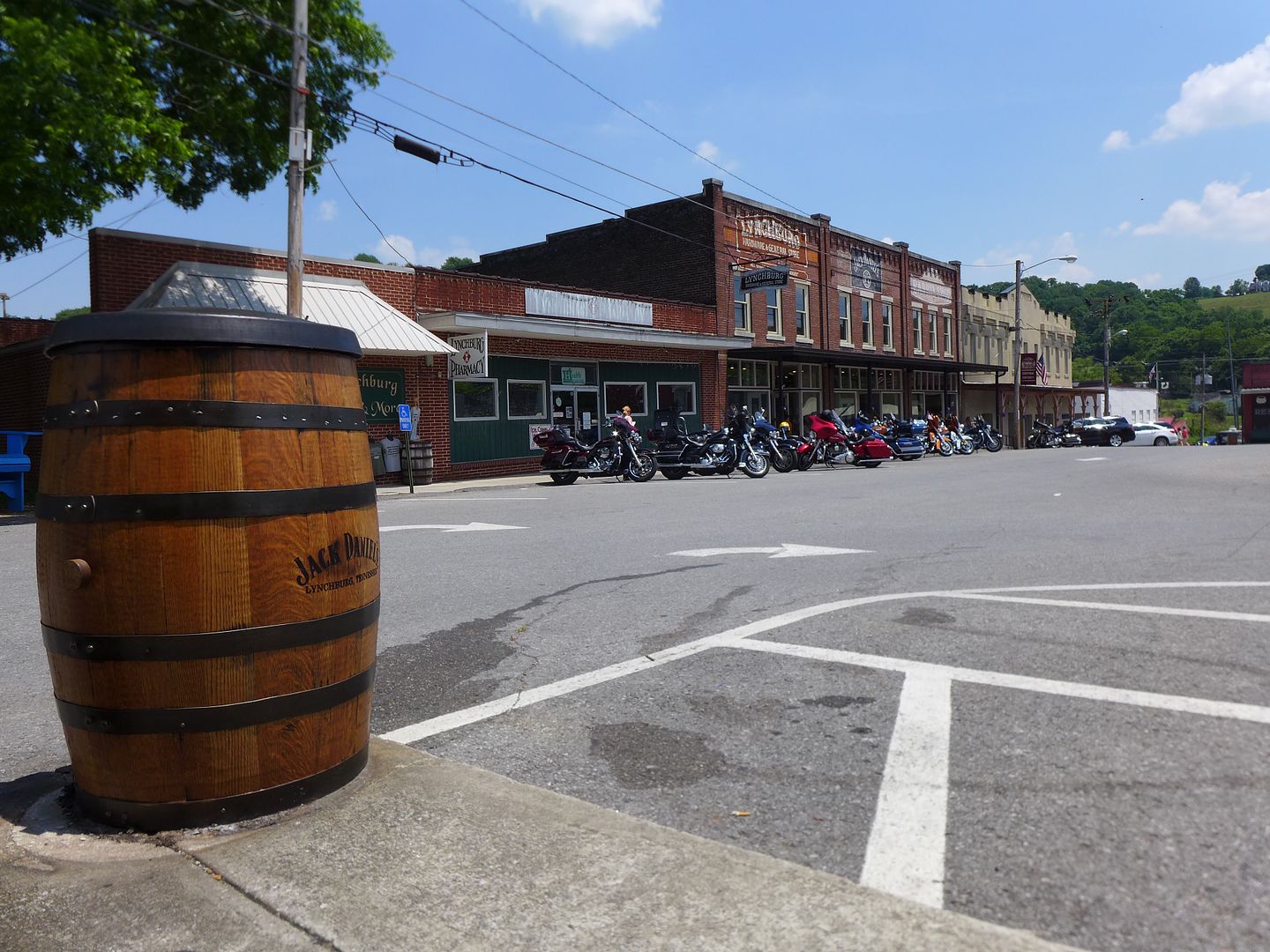
The town square was also busy with bikes and tourists - and that litter bin is a genuine Jack Daniel's whiskey barrel!

Image

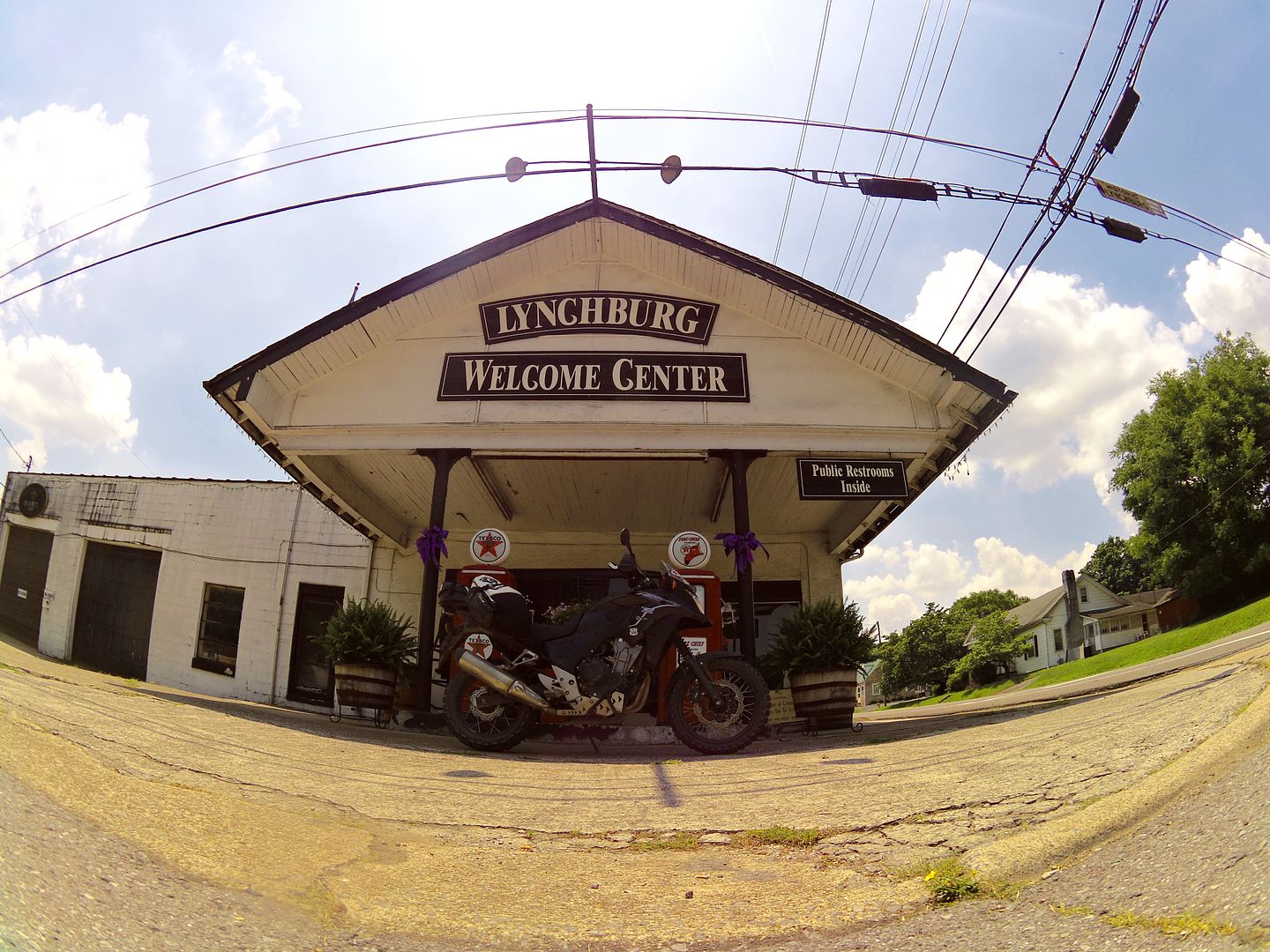
On my way out of town I had to stop for this ubiquitous photo:

Image
photo. And yes of course I have almost exactly the same photo of my Tenere from seven years ago ;o)


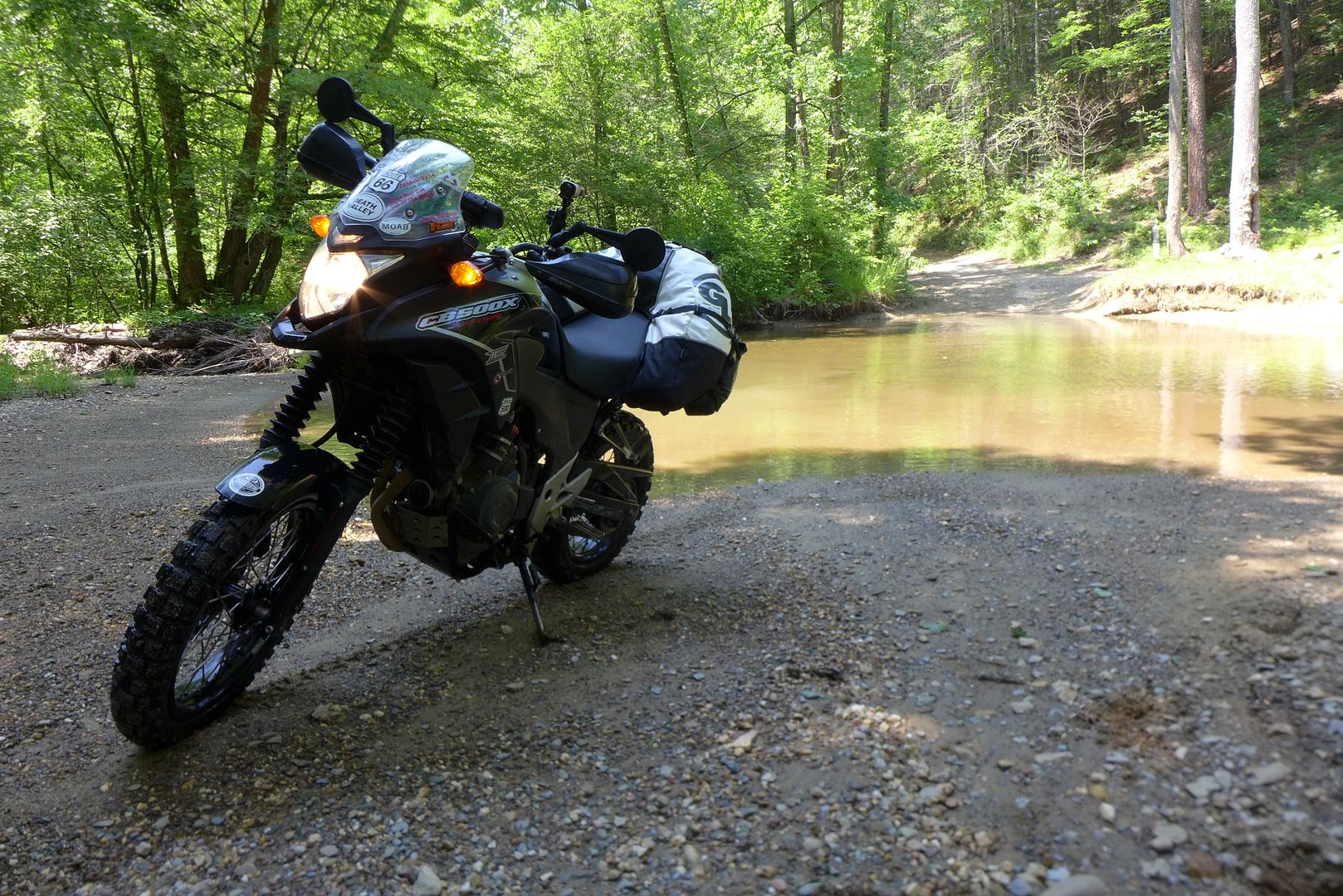
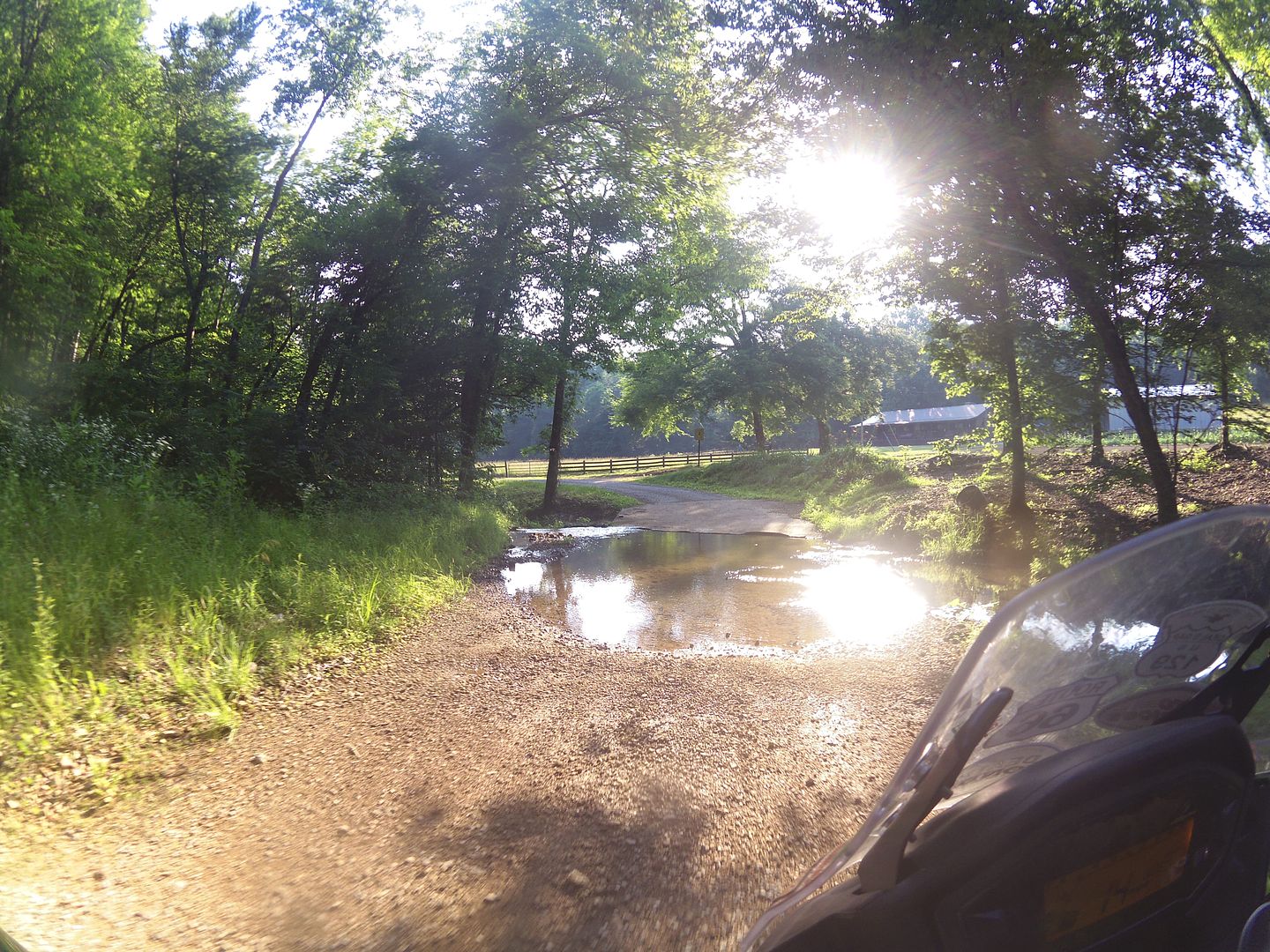
Back on the TAT, and it seems that Tennessee has saved all it's real treats for the latter half of the route; and once you start riding the 4th and 5th sectors, there is a lot more gravel and dirt, and plenty of fords and shallow river crossings too - one particularly wide one that took a lot of nerve with a number of people enjoying the afternoon at the water's edge.

In fact this series of creek crossings and fast dirt roads reminded me very much of the first couple of days of the Dakar route in Argentina - especially as I seemed to have a sizable audience at each crossing - thankfully the surface beneath each ford was not slimy or too rocky!

Image
photo. This was actually a far more minor one, a little later in the day...


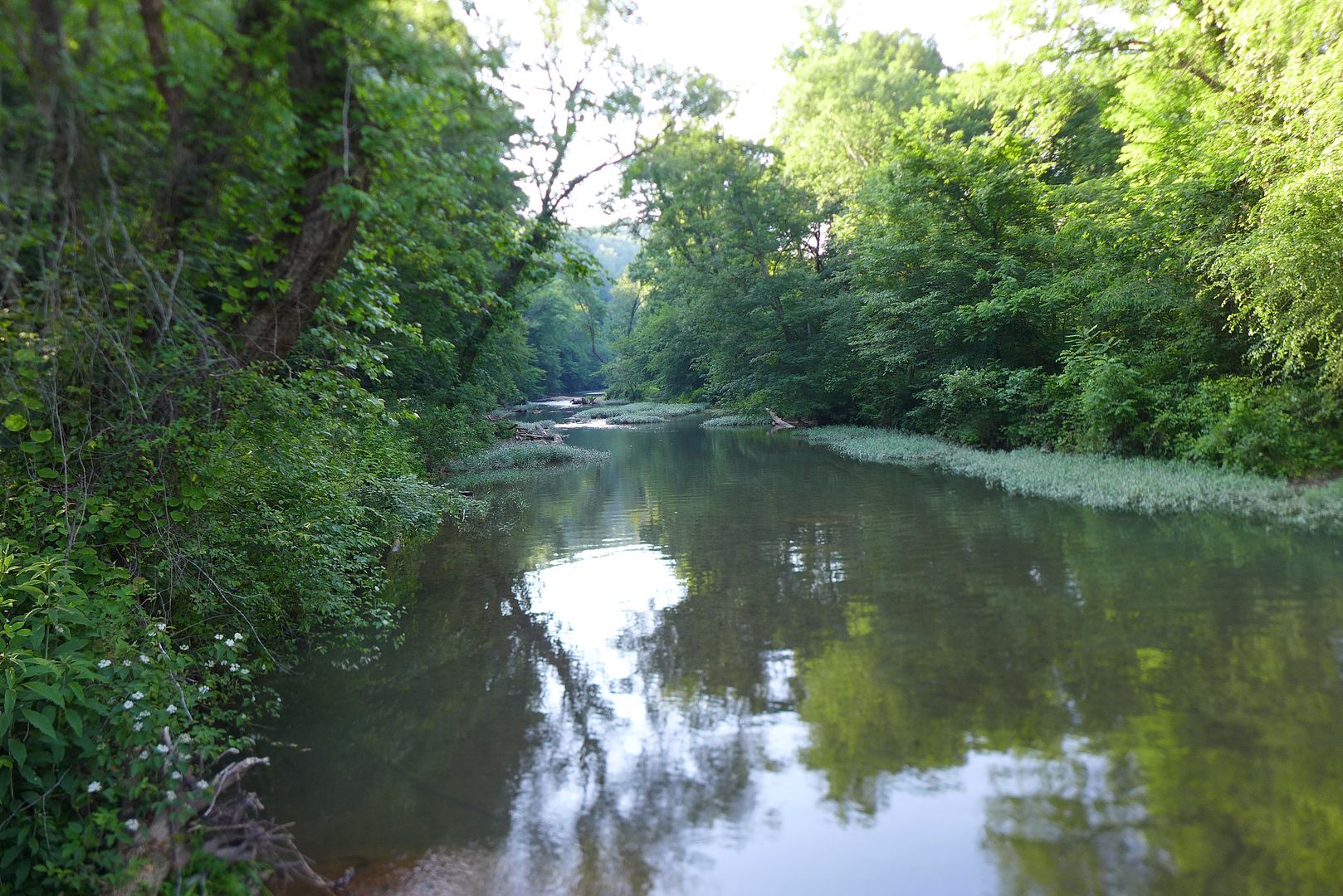
During the afternoon I passed though a particularly scenic section (on Wisdom Road) that had a myriad of side trails that were clearly a play area for 4x4s, while next to the river would make a lovely camping spot were you so inclined...

Image
photo. This view from the bridge is very close to another TA500 sticker ;o)


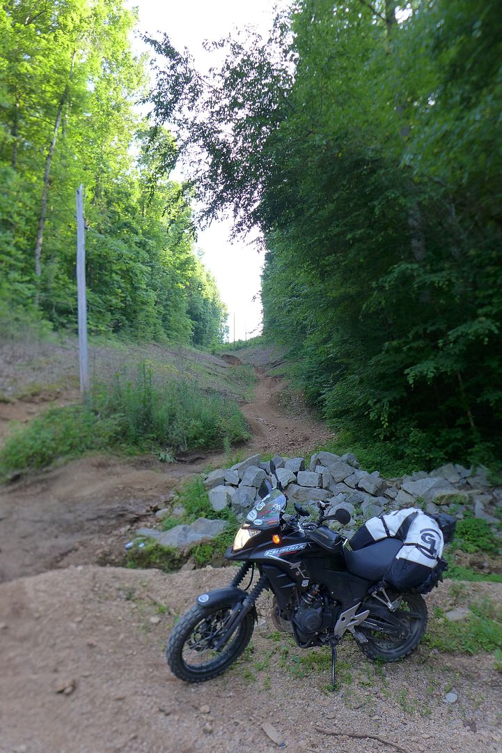
Image
photo. No, I'm not going up this side trail - it was actually far steeper than it looks!

...but I quickly pressed on, mindful that I still had a long way to go if I was going to make Mississippi by nightfall - which was my intention for the day.


Unfortunately, the vast majority of Tennessee seems to be owned by someone (ie. there is not a lot of public land were you might comfortably wild-camp, and not a lot of formal campgrounds either, not along the TAT route anyway), and I felt this was illustrated quite poignantly by the disparity between the wealth of the inhabitants.

All along the TAT route there were some very sizeable and pristine houses, that at the same time shared the immediate locale with some very poor property indeed. It was interesting that in most cases the plots of land were a similar size, but that like a real-life game of Monopoly perhaps, having the wherewithal to actually build on it is another matter...

As I pressed on west, I was conscious I was rapidly running out of light this evening, although it was the most beautiful time of day to be riding - again the scenery reminiscent of rural southern France, or indeed the South Downs in the United Kingdom with which I have a particular afinity.

As I stopped at the final switch over point for Tennessee between sector five and six, I simply had to get Piglet out for a photo here:

Image

With only 60 miles of Tennessee left to go, the search facility in my GPS showed a few hotels not that far away from the TAT route itself, and now it was a race against time to reach somewhere suitable to sleep before the sun went down.

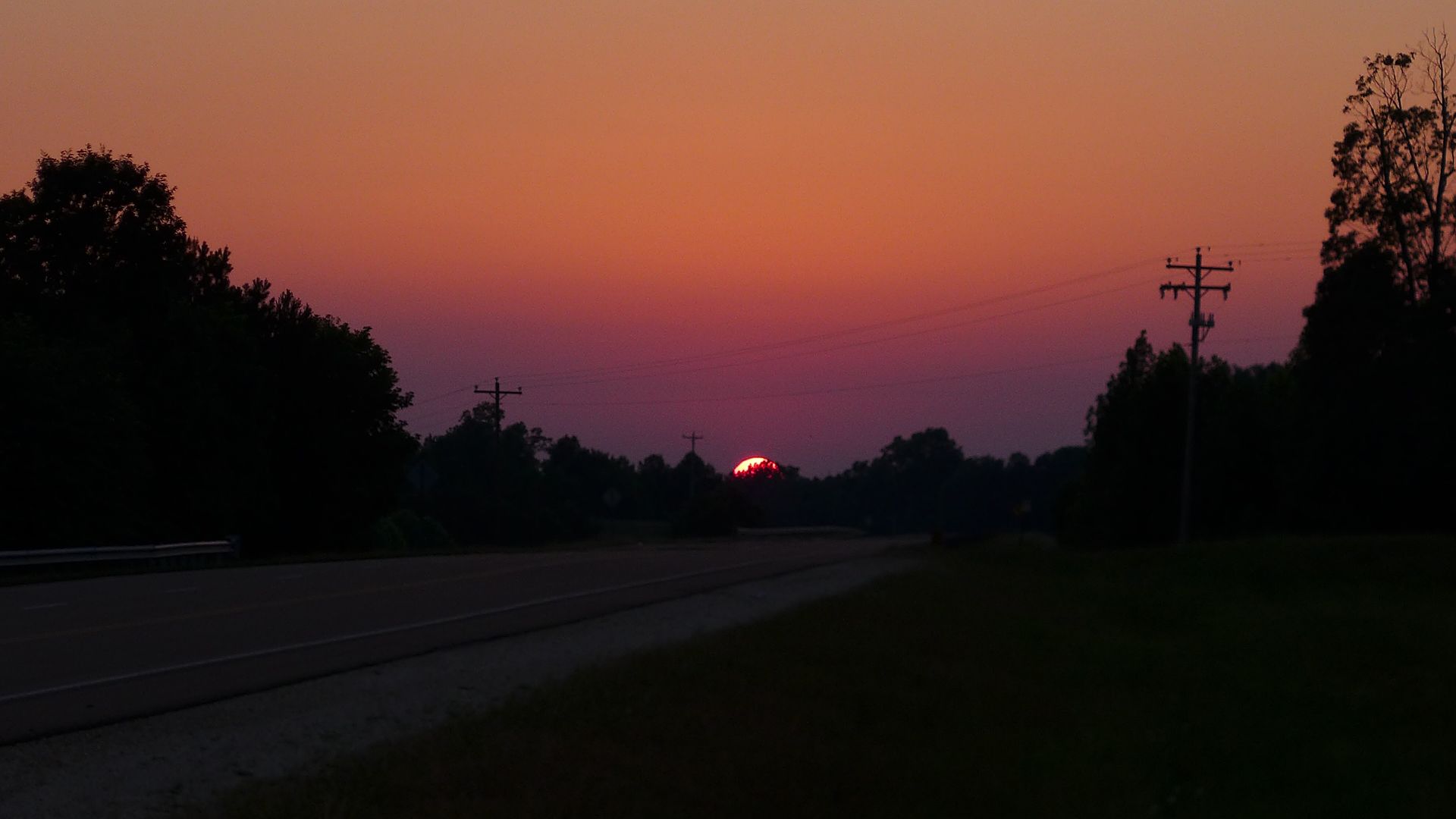
It is a race I lost... although If I'm honest, it's worth losing simply to witness a sunset like this:

Image


So I am currently just a stone's throw from the State line between Tennessee and Mississippi now, and my intention is to finish off this last sector in the morning, then go and meet the originator of the Trans-Am Trail, Sam Correro who lives just off the TAT route himself; and find out a little more about his latest revisions, and how I may even be able to help him prove the currently unfinished 'no mans land' in Idaho - I can't wait!

Toot toot for now!

Jenny xx
JMoandpiglet
Posts: 283
Joined: Wed Dec 19, 2012 9:58 pm
Has thanked: 8 times
Been thanked: 17 times

Re: Trans-Am 500 - the seven year itch

Post by JMoandpiglet »

Day 29: TAT day 3: Counce TN to Oxford MS.

Mileage today: 200 (TAT 161)


Only 161 miles of TAT today? Well let's just say it was a day of two halves...

I got back on the road in good time this morning, after a delightful breakfast at a traditional diner/BBQ shack 'R&Bs' on the main road though Counce (note. for those contemplating the TAT themselves, Little Andy's Motel is right next door, and right on the TAT route itself - I'd have taken a punt on this place last night but at the time could only find the prices for cabins, I understand they do offer regular rooms too).

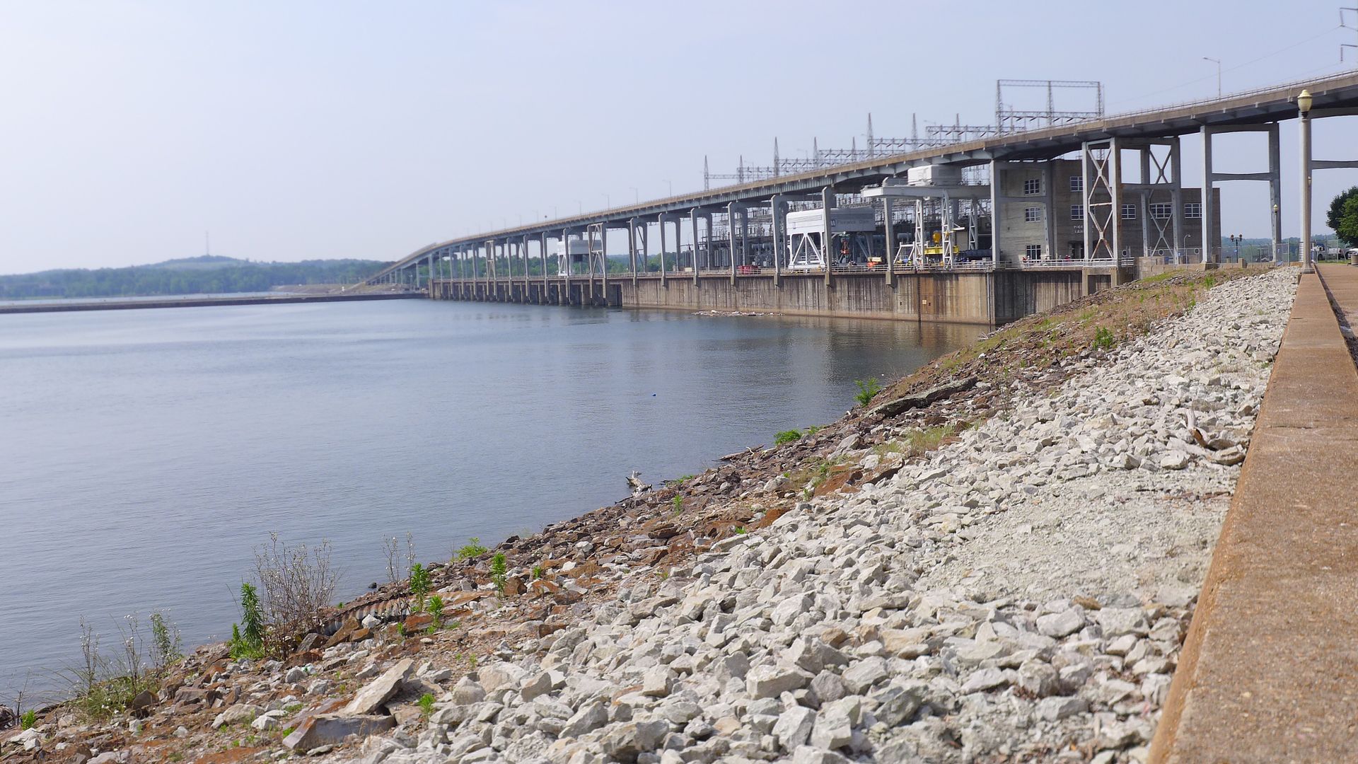
Counce is on the south side of Pickwick Dam, a huge structure blocking the Tennessee river and creating a sizable lake/reservoir on the east side. I only realised this in the morning when I rode back over the bridge to finish the short loop of the TAT that I had forfeit the night before (in the dark) - and I'm glad I did as it was a pleasant little trail through the peninsular, past a number of holiday homes on stilts - perhaps they are worried the dam might one day burst?!

Image
photo. The bridge above was reminiscent of those in Florida that rise sharply in a big dipper style to allow ships to pass underneath.

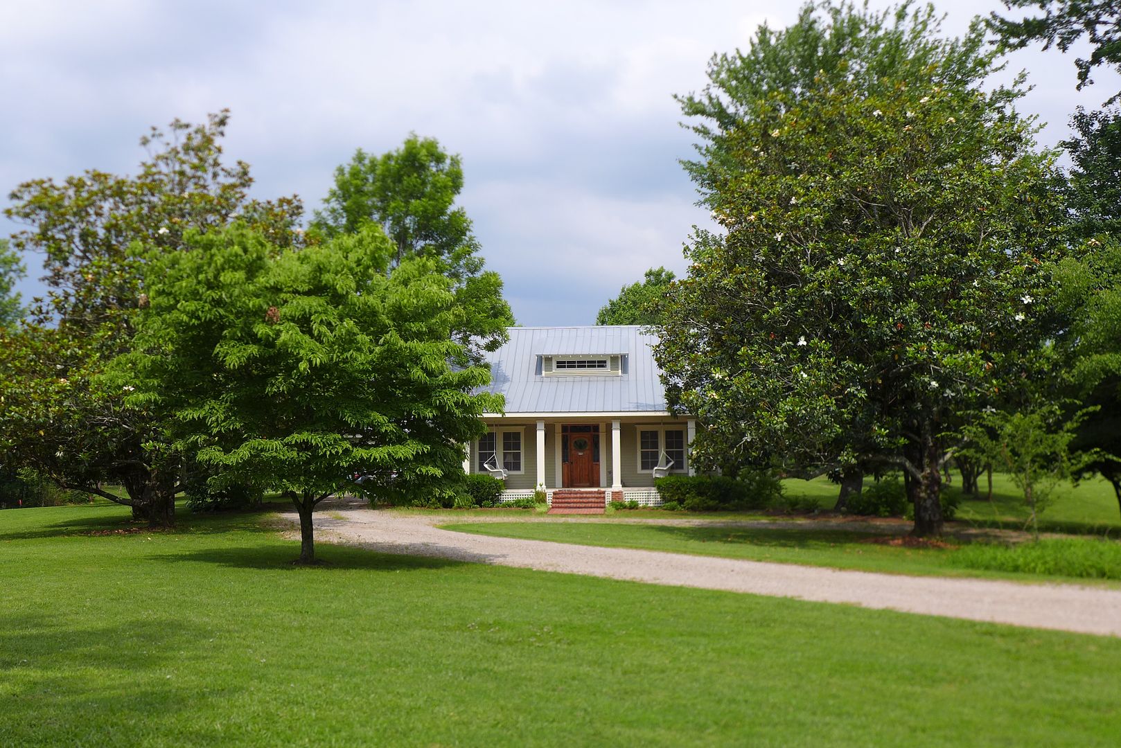
Leaving town, there were some very pretty properties interspersed amongst the TAT (aha, see what I did there?)

Image

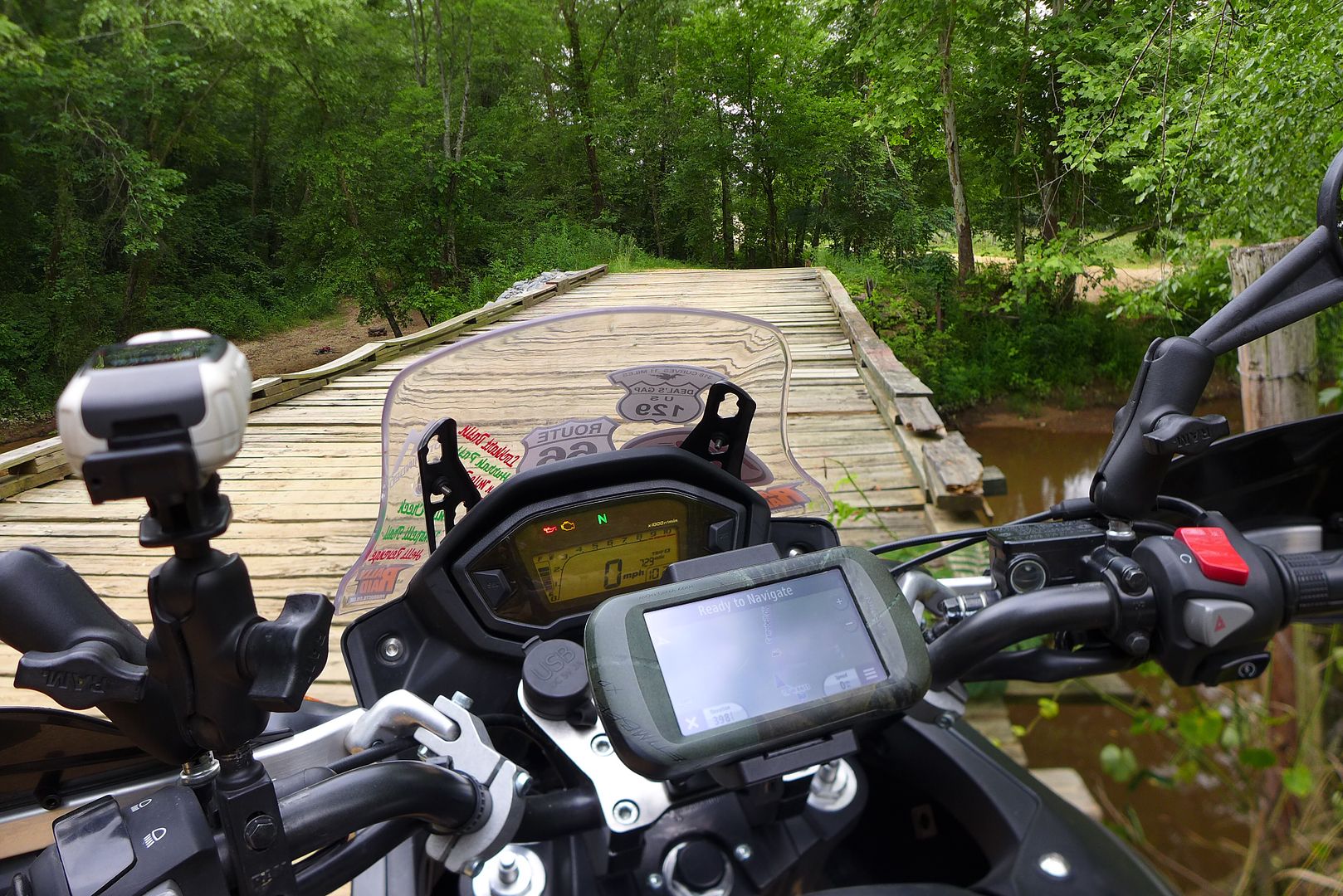
Quickly followed by some more dirt as I approached the Mississippi boarder:

Image
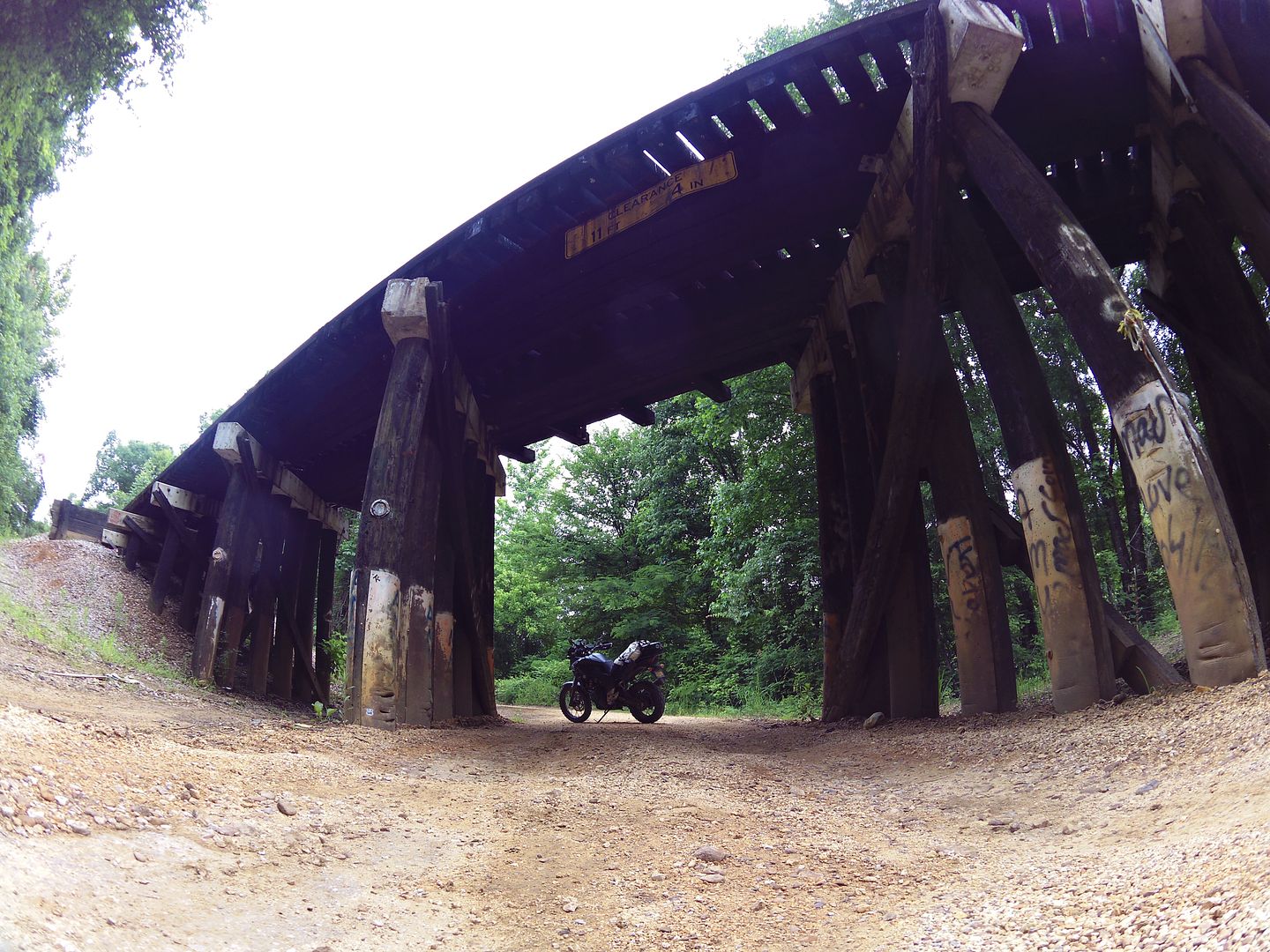
photo. Quintessentially American - I love these railroad bridges... Can you spot the TA500 sticker?!

Image
photo. There is more water in this photo than in the whole of California right now...


Mississippi

My plan for the morning was to detour off the TAT a few miles (don't worry, I'd be picking it up from where I left off later) and go and meet the originator of the TAT route, Sam Correro - at the nearby Lake Hill Motors: a Honda & Yamaha dealer on the outskirts of Corinth MS.

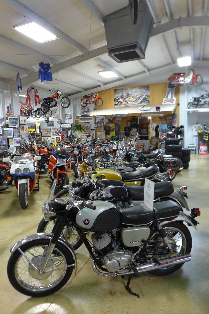
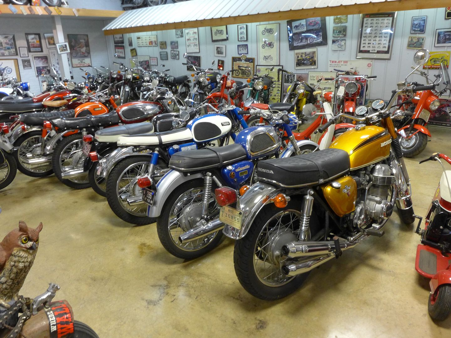
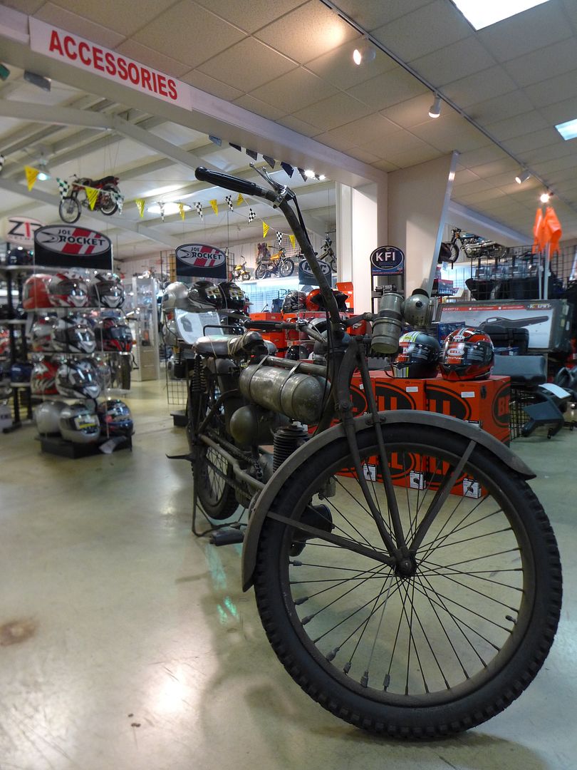
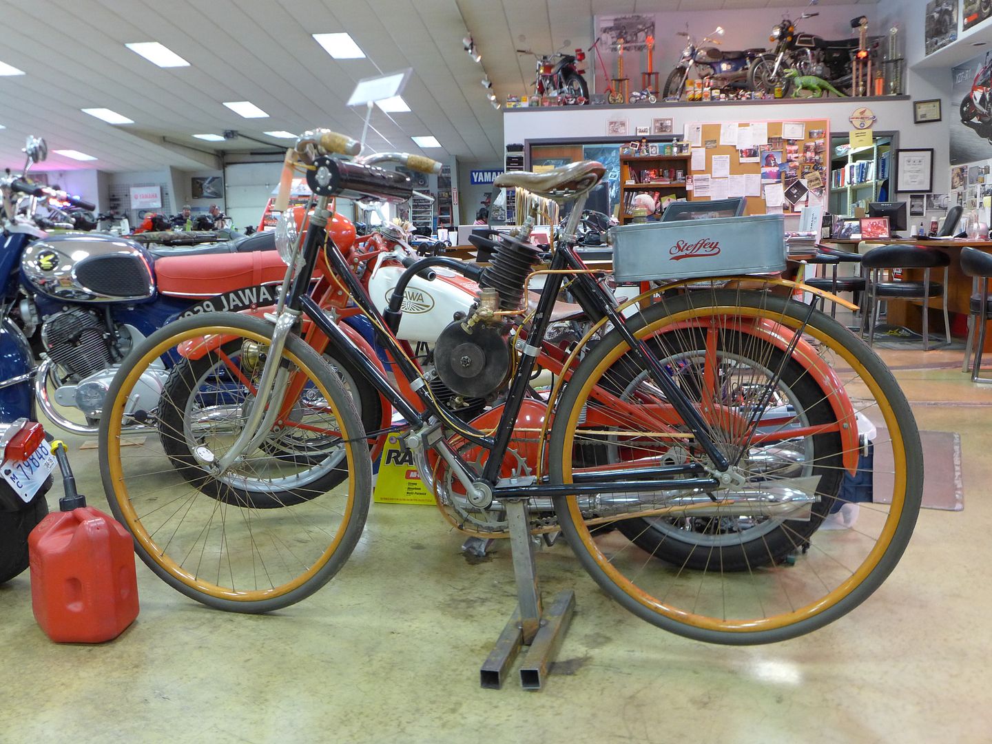
I have to say, this really is a must-see place to visit if you are ever in town (or riding the TAT), as not only is it a huge motorcycle (and UTV/marine) dealer, but the owner has a fantastic collection of classic bikes in a side wing of the showroom!

Image

Image

Image

A lot of rare early Hondas (and Yamahas), including a first edition Goldwing, a '69 CB750 and a lovely '66 CB350 that is no.8 of the original production run! There was also a handful of interesting road/race bikes including an ultra rare Ducati 916 with the homologate 955cc engine (#2 of only 30 made) together with some great vintage machinery from the US, UK and Europe too!

Image

Image

Priceless! (Some of them, literally!)

They guys at Lake Hill were also very keen to see the CB500X I was riding, before Sam went through a few options with me for the currently uncharted sector/s in Idaho.

Image
photo. Others may follow (and copy and modify now the original route is in the public domain), but Sam Correro is the originator of the concept of the Trans-America Trail, and continues to modify and improve/offer alternative options as each year goes by.


Currently I will be riding the new revisions to Colorado, Utah and now up into Idaho too - and there are further revisions due to be introduced for Tennessee and Mississippi next year...

Indeed, Sam was keen to point out that there simply isn't a direct dirt route through the more eastern states, and that people who embark on the 'Trail ought to consider that the TAT is an all encompassing journey across rural America - offering some unique insights into life of the beaten track.

And I would tend to agree wholeheartedly with this - afterall, it really shouldn't matter whether it is dirt or tar (or more often broken tar) under your wheels on a journey like this - it's all good, particularly if you're on the bike that rides really well on both... ;o)

Obviously there is some world class dirt and trail riding included (especially once you cross the Mississippi river), but for me personally, to catch a glimpse of small-town and rural America (and indeed witness just how poor some of it is) was very much an eye-opener - and during a journey of this length, it really illustrates the diversity of the people, architecture and terrain that encompasses the United States.


Yeah, but you guys want to see some photos of the CB-X on the dirt don't you? - well ok then!


Mississippi mud-pie...

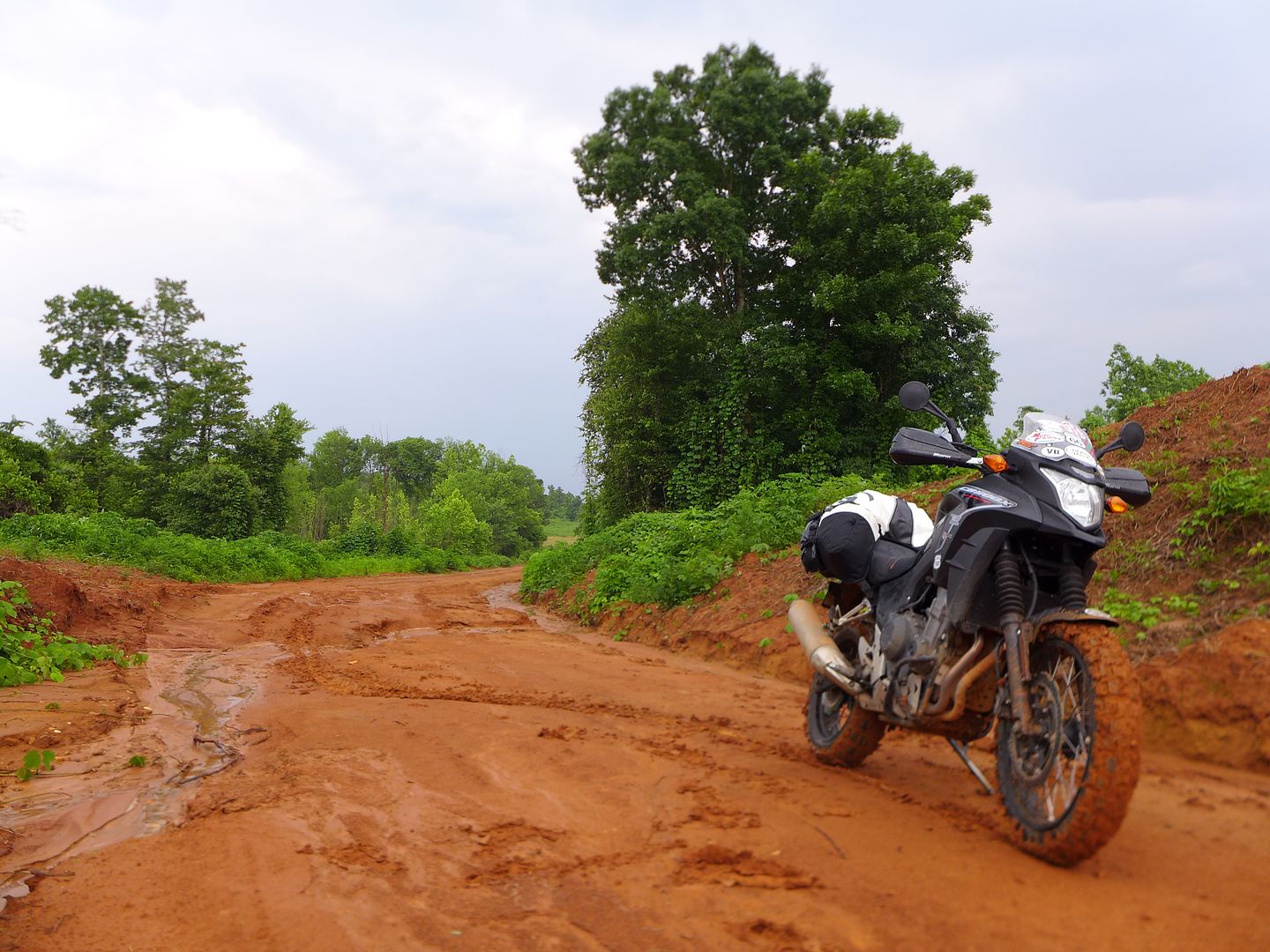
Having loaded up on way more calories then I would ever need in a single day - with the largest milkshake I think I have ever consumed (seriously, this bad boy was like a pint and a half of ice cream and fruit!), I rejoined the TAT and continued south and west... Right into an almighty rainstorm.

Image

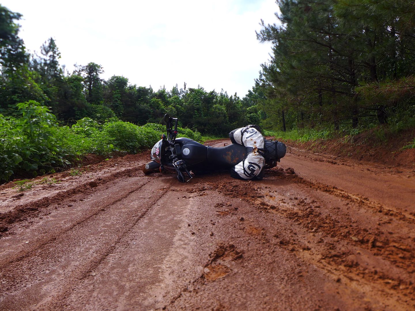
Fortuntely the trail was drying almost as quickly as it got soaked, but the problem was an inch or so of slimy mud on top of otherwise hard-pack soil - with no chance of the tyres digging in, rather simply clogging...

Image

In certain circumstances, the weight of the bike can actually be a benefit, helping it to dig in and stay on track.

Unfortunately, today was not one of those circumstances, and inevitably when the slide comes, it comes fast, hard, and heavy:

Image


I have to say, I really did struggle to pick the bike up here (They're only heavy when you have to pick them up right?) - since the slick mud meant I couldn't get any purchase to lift it off the deck.

I eventually resorted to using a strap (removed from my Giant Loop Coyote) around the lower hand guard, to lift it enough so I could get my foot/shin under the bike, then lever it up with my hands on the bars... Believe me, I tried every other option - and it's circumstances like this which make a mockery of the 'approved' way of lifting the bike by walking it backwards - that might work on a boxer-twin in a parking lot, but not out here in the real world...

So having got utterly filthy, I continued gingerly on, desperate not to drop the bike again.

Ultimately, once the TAT crossed a major highway, early that evening, I elected to 'find hotel' in the GPS and get myself, my clothes, and bike cleaned up... then rest, and reassess the weather forecast for the coming days - this would be no fun at all otherwise; and I so wanted to complete these eastern sections of the TAT which I'd had to forfiet due to bad weather before in 2009.

Cont.
JMoandpiglet
Posts: 283
Joined: Wed Dec 19, 2012 9:58 pm
Has thanked: 8 times
Been thanked: 17 times

Re: Trans-Am 500 - the seven year itch

Post by JMoandpiglet »

Day 30: TAT day 4: Oxford MS to Clarendon AR.

Mileage today: 250 (TAT 232)

Fortunately, despite an almighty thunderstorm directly over Oxford (that was so loud it woke me up in the middle of the night!), the sun had come out by the time I'd surfaced and got my soaking wet gear (now dried, as it had been liberally spread around the hotel room overnight) packed back on the bike.

By chance I'd chosen the exact same town to stay in that fellow ADVrider Madscientist (Mika) lives and works, and again the miracle of modern travelling that is the internet meant we were able to catch up in person for a quick coffee before we both went about our respective business of the day.

For me, it was to get the hell out of Mississippi before any more rain came! At the same time, I really wanted to ride the complete TAT, which from here forms a southern loop before heading west across the river into Arkansas.

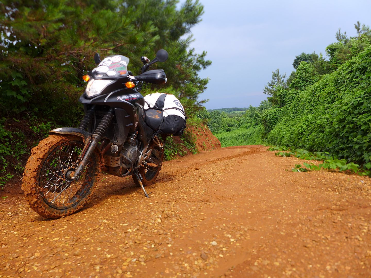
I have to say, the ride today was a delight in every sense - the trails had dried just enough not to clog the tyres, keeping the dust down and at the same time offering good grip and traction, while allowing the bike to slide (if you wished ;o) on the wet gravel corners. I was merrily making up time today, enjoying the scenery and the wildlife:

Image
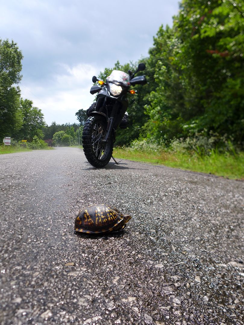
photo. I'd started seeing these little guys on the road yesterday (and this one I stopped and moved as he was just sitting there, waiting to get squished!), and at first though it was a roaming pet... Once I'd seen half a dozen or more I realised these box turtles are wild... In fact one was positively sprinting across the road in front of me!

I also saw a very dead Armadillo (you see a lot of these), and a sizable snake that was doing it's best to leave the rear of it's tail under my front wheel (sorry fella, I trust it will grow back...)

Image

As I got further south, the trail sections started to come thick and fast - mainly gravel still, which was a godsend if I'm honest after all the overnight rain.

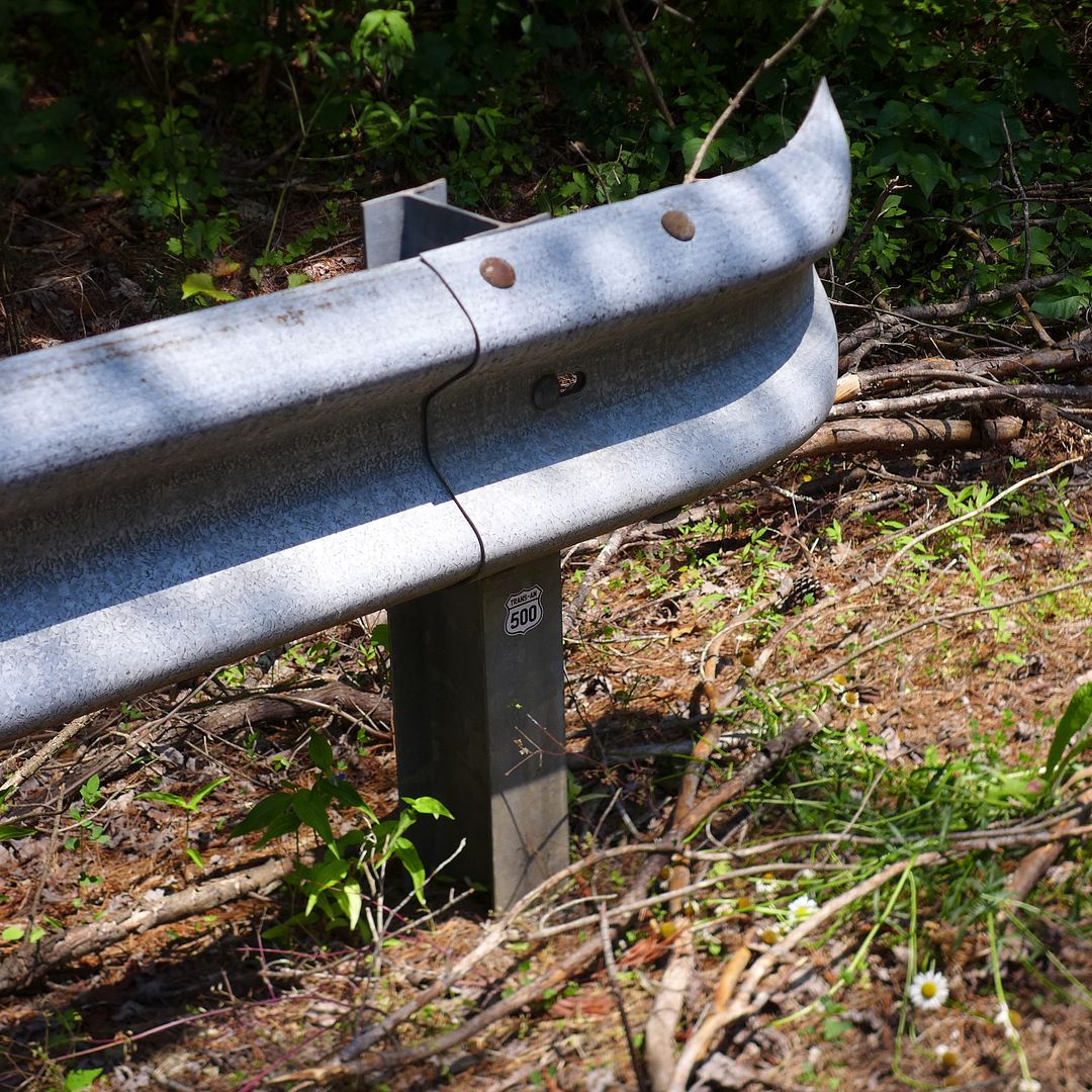
Looking at the GPS track, I spied a curved road that was effectively the southernmost point on the entire TAT - an a suitable spot for another daily* TA500 sticker I thought!

* I'm intending to leave at least one per day on the route, as a kind of treasure hunt...

Image


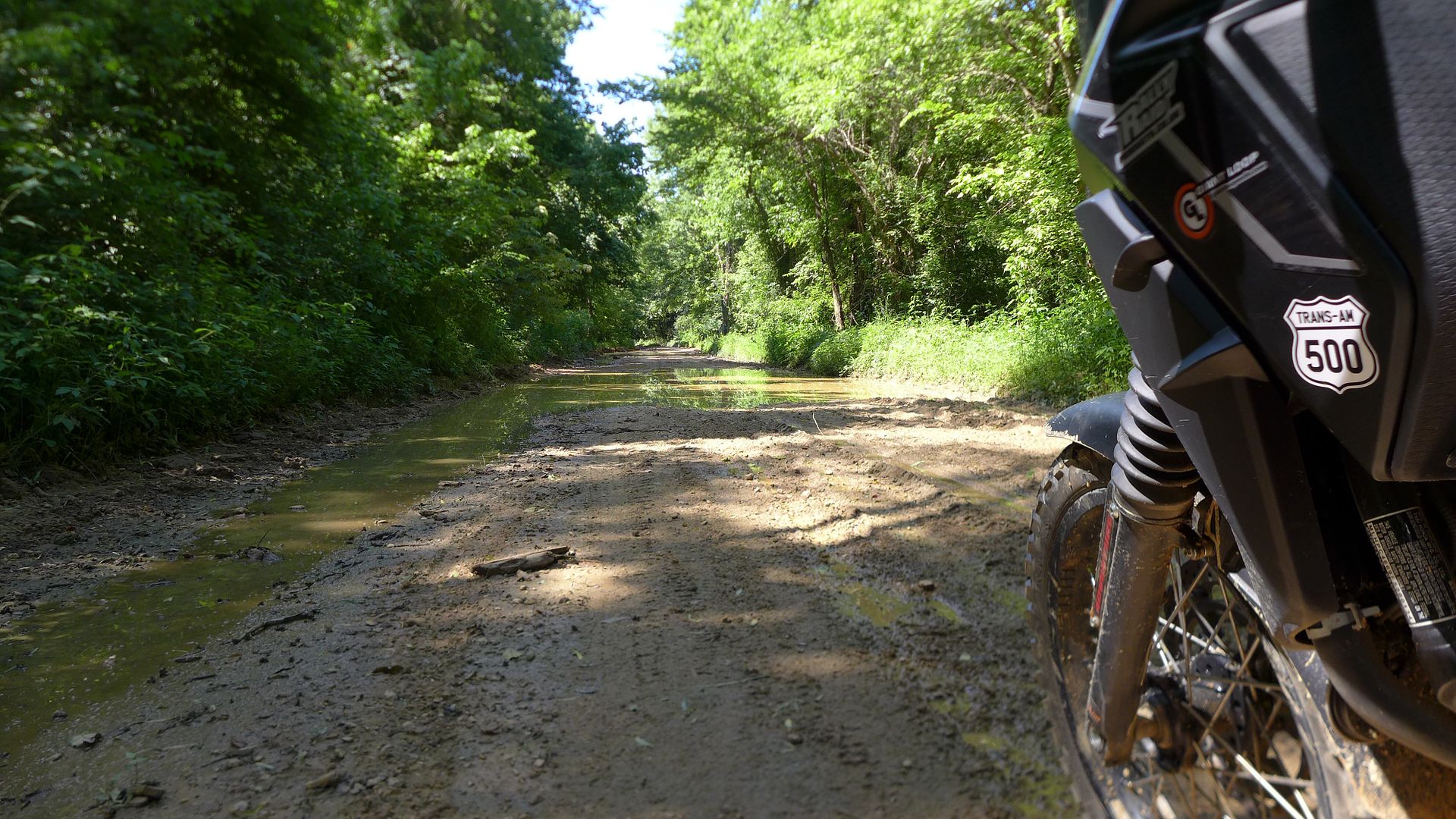
Once I started heading back north and west, there was a perceptible feeling that the TAT really was beginning to cross the country now. The trails typically leading one into another (with just a few hundred yards of pavement between), and occasionally they did get a bit more sticky - in fact this series of puddles actually had snakes in too!

Image

But on the whole it was a fast and enjoyable scenic ride - again reminiscent of a fast rally stage, and the CB really was in its element here, able to track with utmost stability at speeds as high as 50 or even 60 mph on the smoother gravel... The modifications Rally-Raid have made to this machine really make it sublime - honestly, it now rides like a $12,000 bike rather than a $6000 one!


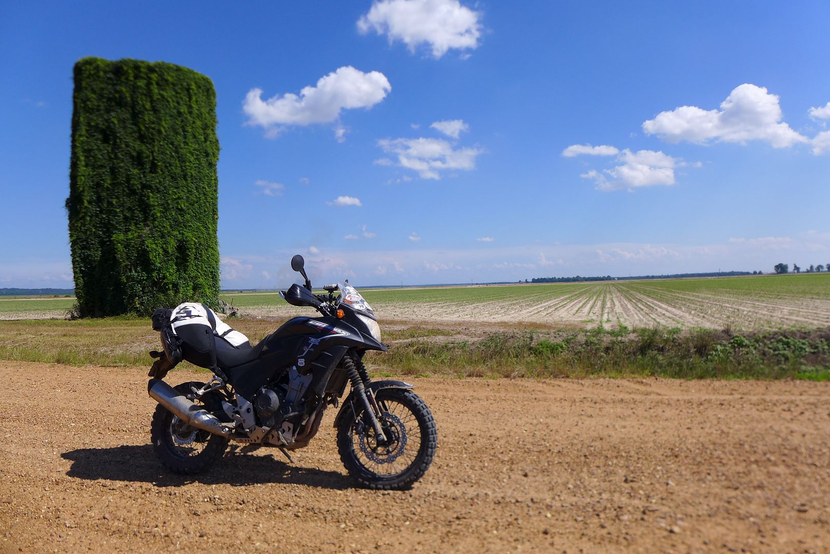
Mid-afternoon, I stopped by this old water tower (that like so much of Mississippi has been engulfed with Kudzu - an ivy like plant from Japan, that was introduced originally to help prevent soil erosion, and is now rampant everywhere!)

Image


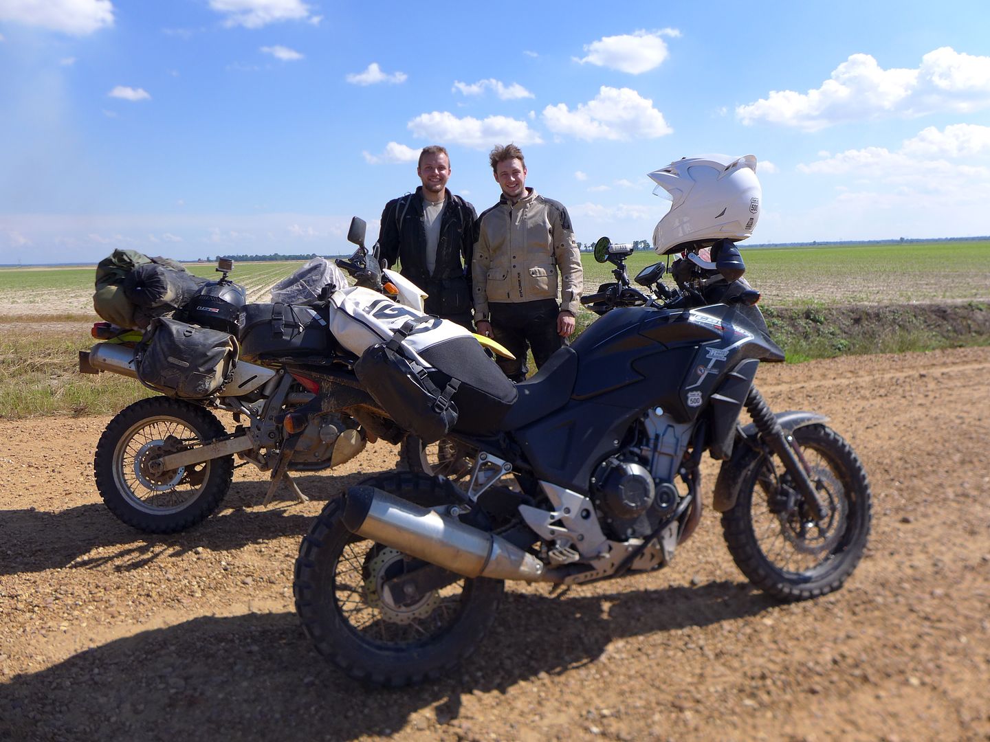
As I was snapping away, I spied a pair of (obviously) fellow TAT riders coming towards me in the distance...

Image

Riding the ubiquitous KLR and a DR650 between them, they had been on the road roughly the same time as me, and so too had been caught in the crappy weather yesterday. Planning on (wild) camping the whole way to Oregon, we chewed the fat for a while before they graciously let me go on ahead (which I admit I was keen to ensure as I didn't want to be riding in anyone's dust)... Hope to see you along the trail again over the next couple of weeks guys!

Image
photo. More Kudzu...

There weather really had cheered up now, as had I... and it was a joy to barrel along in open country:

Image

Taking in the amazing scenery that Mississippi has to offer:

Image


I finally crossed over the Mississippi river on hwy 49 around 5.30pm:

Image

...and considered how much further I might be able to ride into Arkansas that evening - not wanting to ride in the dark, and fundamentally, find a hotel in good time this evening so I could get up to date with this report.


Arkansas

It was too early to stop in Helena West Helena (crazy name, crazy town/girl?!) just over the bridge. So pressed on into the setting sun...

Image
photo. The first TA500 sticker in Arkansas...

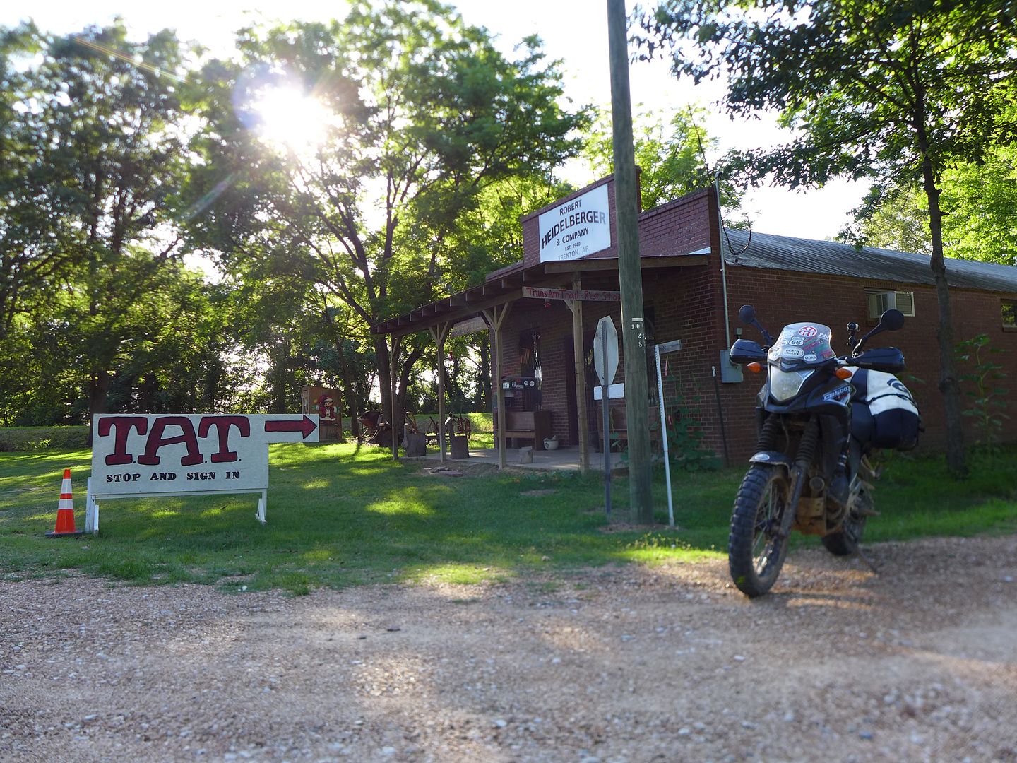
Sam had mentioned a couple of 'TAT Stops' west of him. And sure enough, I soon saw the signs for this little gem near Trenton AR, and stopped in to sign their visitors book.

Image

Although the building was locked, a chance meeting with the owner who was riding by on his CRF250L revealed some useful information about the trail ahead - there had been heavy rain, so a short three-mile section might be still impassable (fortunately it wasn't, as the sun had tried the trail a little, and combined with some heavy farm traffic passing that day, had created two defined solid ruts in which I could ride - phew!), and that there was a perfectly reasonable independent motel a few miles further west in a sleepy town called Clarendon, which is where you'll find me right now!

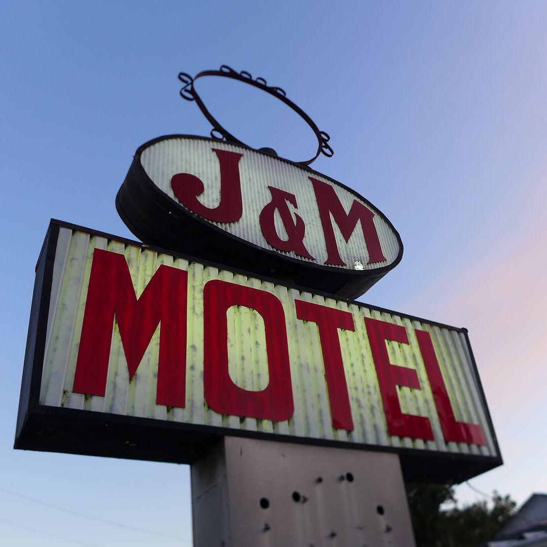
Image
photo. It's old school and basic, but quintessentially American - a real Mom&Pop place... I love it!

So, I think it's about time I considered some sort of breakfast somewhere, then it's time to hit the trail again... Destination the Ozarks!

Toot toot for now!

Jenny xx
JMoandpiglet
Posts: 283
Joined: Wed Dec 19, 2012 9:58 pm
Has thanked: 8 times
Been thanked: 17 times

Re: Trans-Am 500 - the seven year itch

Post by JMoandpiglet »

Day 31: TAT day 5: Clarendon AR to Russellville AR.

Mileage today 233 (TAT 216)

Today was a minor milestone, in that having crossed over I40 this morning, I have now completed all the eastern sections of the TAT that I missed in 2009 due to the appalling winter weather (instead I did the tourist thing: The Jack Daniel's Distillery Tour - excellent! / rode through the city limits of Nutbush - 25 is no longer the speed limit ;o) / and donned my blue suede shoes to walk around Graceland in Memphis - it's smaller than you'd think...)

Image

But, hey, I'm getting just a little ahead of myself again...


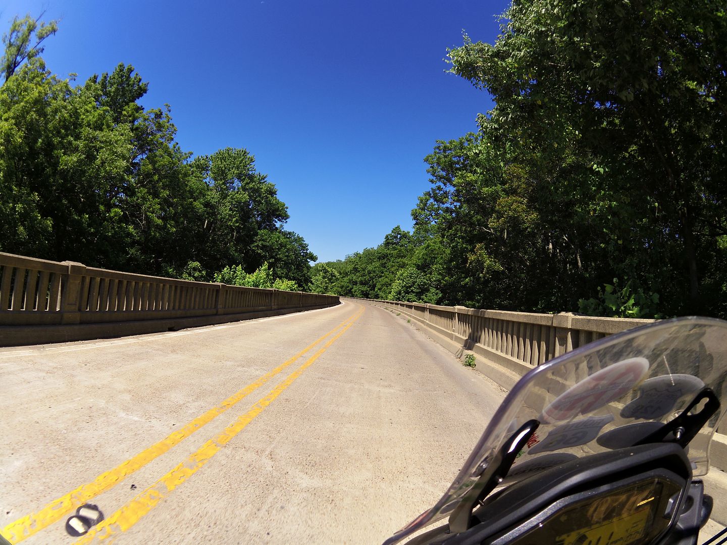
I left Mom&Pop's place in Clarendon, topping up on fuel and water at the gas station next door (the girl behind the counter was really sweet and filled my camelbak full of ice too - very welcome!), and immediately rode over a stunning bridge, followed by a raised highway above the bayou:

Image
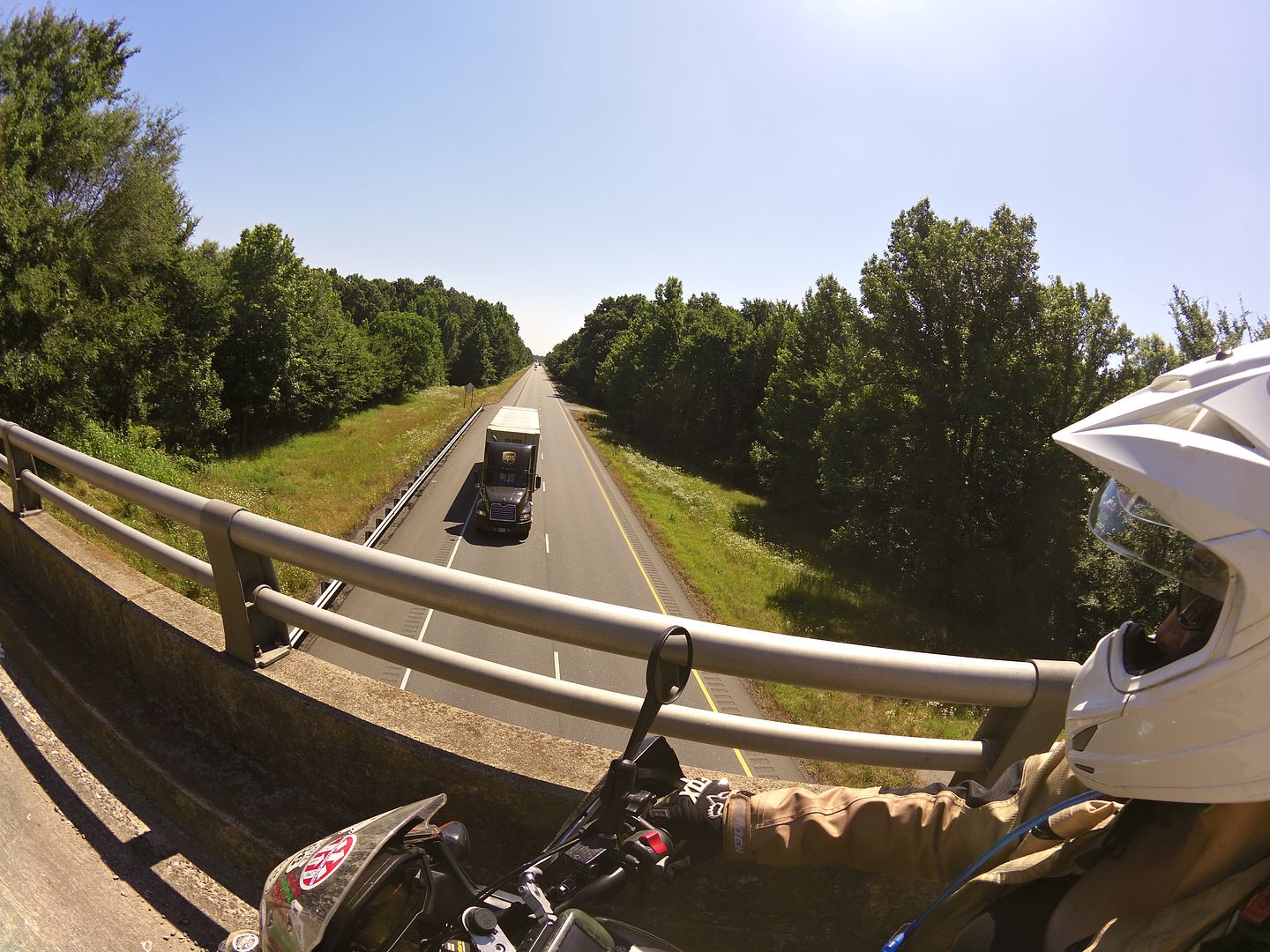
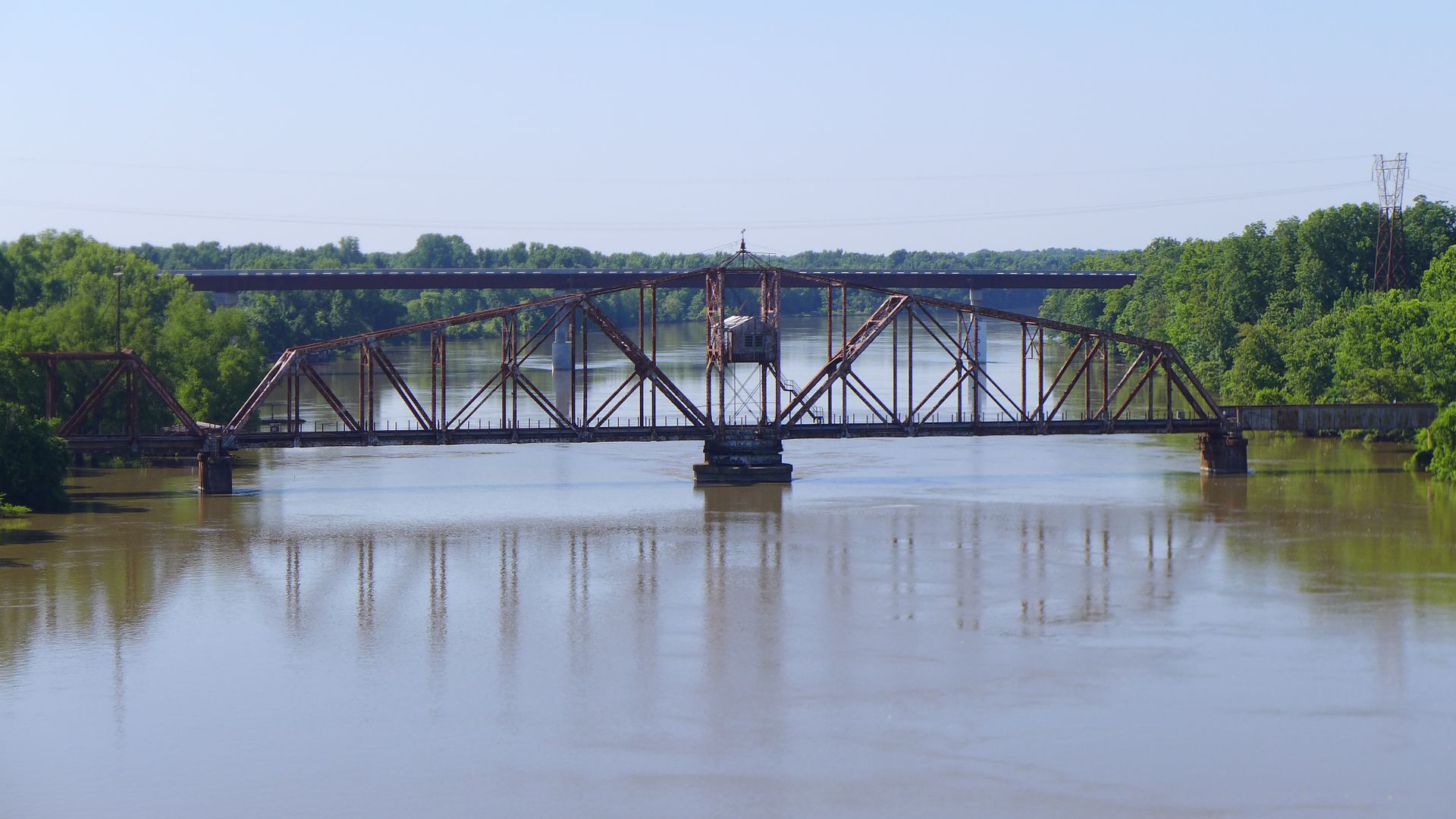
photo. View from a bridge (can't take any more...) - the old middle bridge is the railroad, and behind is the new highway bridge being built. Having paused for this photo on the old road bridge, I can see why - the whole thing positively shook when the trucks thundered past!

Image

There followed a quick succession of arrow straight gravel and grass roads - a warm up for what was to come in Oklahoma of course - and I crossed over I40 where just north there was a series of dedicated camping sites (worth remembering, and marking in my GPS for any future trip).

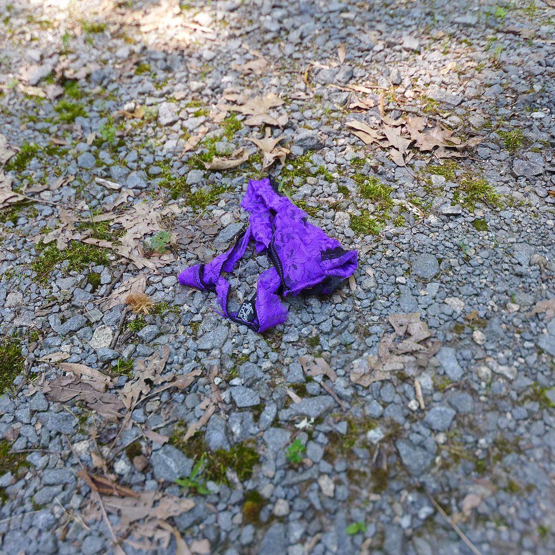
On the whole the sites had been left free of litter (although I ended up collecting a few items and donating a trash bag to one site - hopefully setting a good example), but I did wonder at who left these behind - and perhaps more importantly, why?!

Image


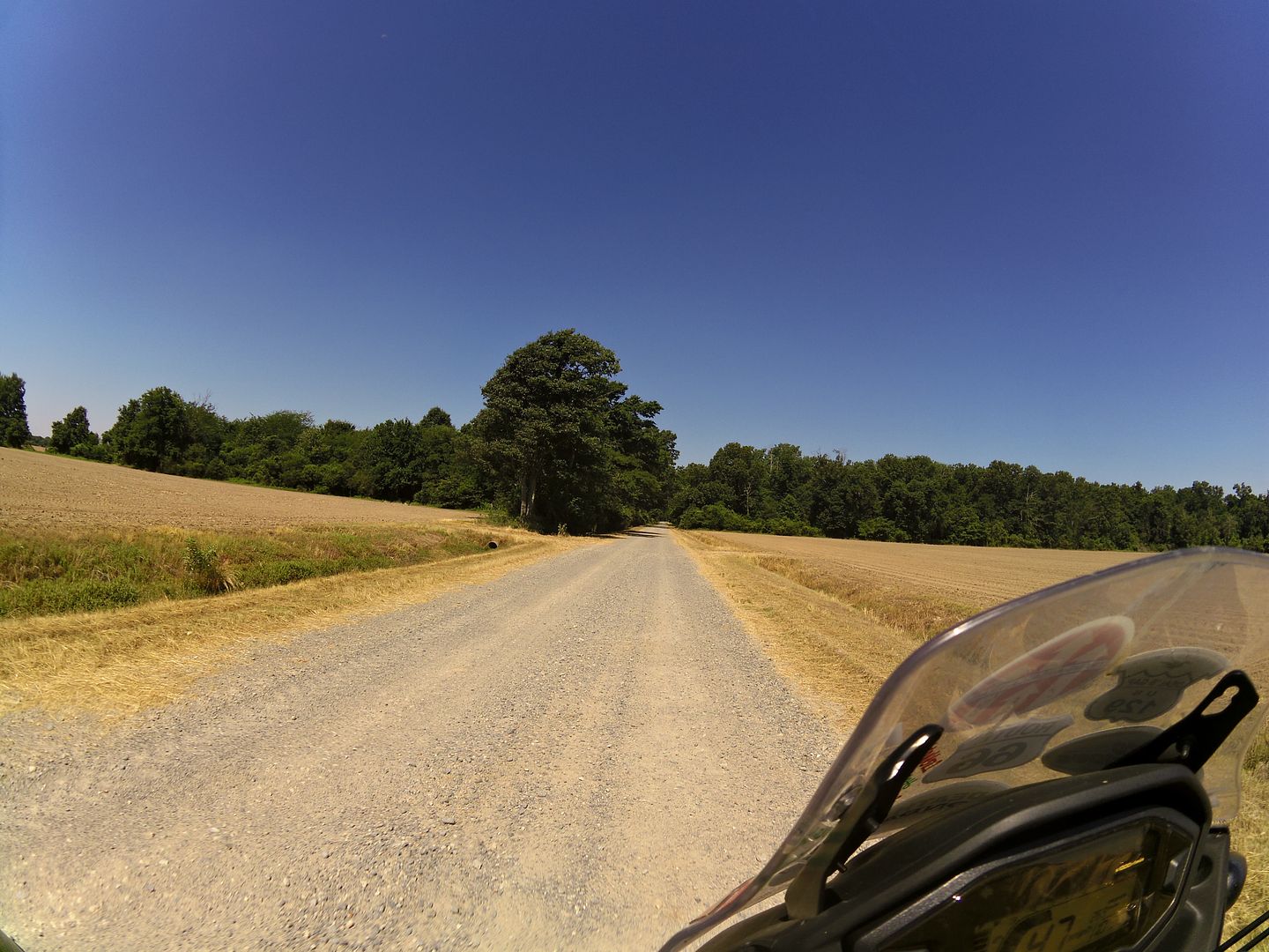
My recollection from the last time I was here was a series of dirt roads through shady woodland - and sure enough the trees were still here... But there seemed to be a lot more tarmac, and where that had run out, the trails were now wide gravel roads - and moreoften the large chunky type of gravel (not the lovely smooth and fast pea-shingle from yesterday), which tended to squirm under your tyres and required constant attention to maintain your trajectory...

Image
photo. This was the nice fast smooth stuff, but a lot of the trails had deep chunky stones on them instead, and the resultant ruts (from large trucks and farm machinery) making things rather more sketchy to ride on...

I have to say, for the first time on this trip I was disappointed. Not that it wasn't still fun of course - I'd really got the suspension on the CB-X dialled in now, and the thing positively rails in fast conditions like this (although today was also the first day where I could really have benefitted from a steering damper being fitted) - but that my expectations of Arkansas had been so much higher...

Last time I remembered creek crossings (and one particularly wide river that I wasn't prepared to try and cross on my own, so found an alternative way around), and rough(er) dirt tracks that meandered through the forests.

Six years on and it's as if the local authorities have embarked on some huge road development and bridge-building exercise? It's still pretty, but in all honesty, you could drive your car along these trails nowadays.

I would add that I am currently only about halfway through the Arkansas leg, and it is possible that my memory is not what it was, and the best of those trails is still to come (later today I hope!)... However, I do recall one section named 'Granny Gap Road' that I'm pretty certain was much more of a trail the last time I was here... I left a TA500 sticker on a new bridge that I'm sure used to be a ford!

Image
photo. A sense of deja vu. I'm sure I rode though this river on my Tenere!

I have to admit I treated today very much like it was one long rally stage - and certainly now I was deeper into rural Arkansas, the trails (well, unsurfaced roads) were almost constantly interconnected - punctuated by a short stretch of tarmac and the odd oddity:

Image
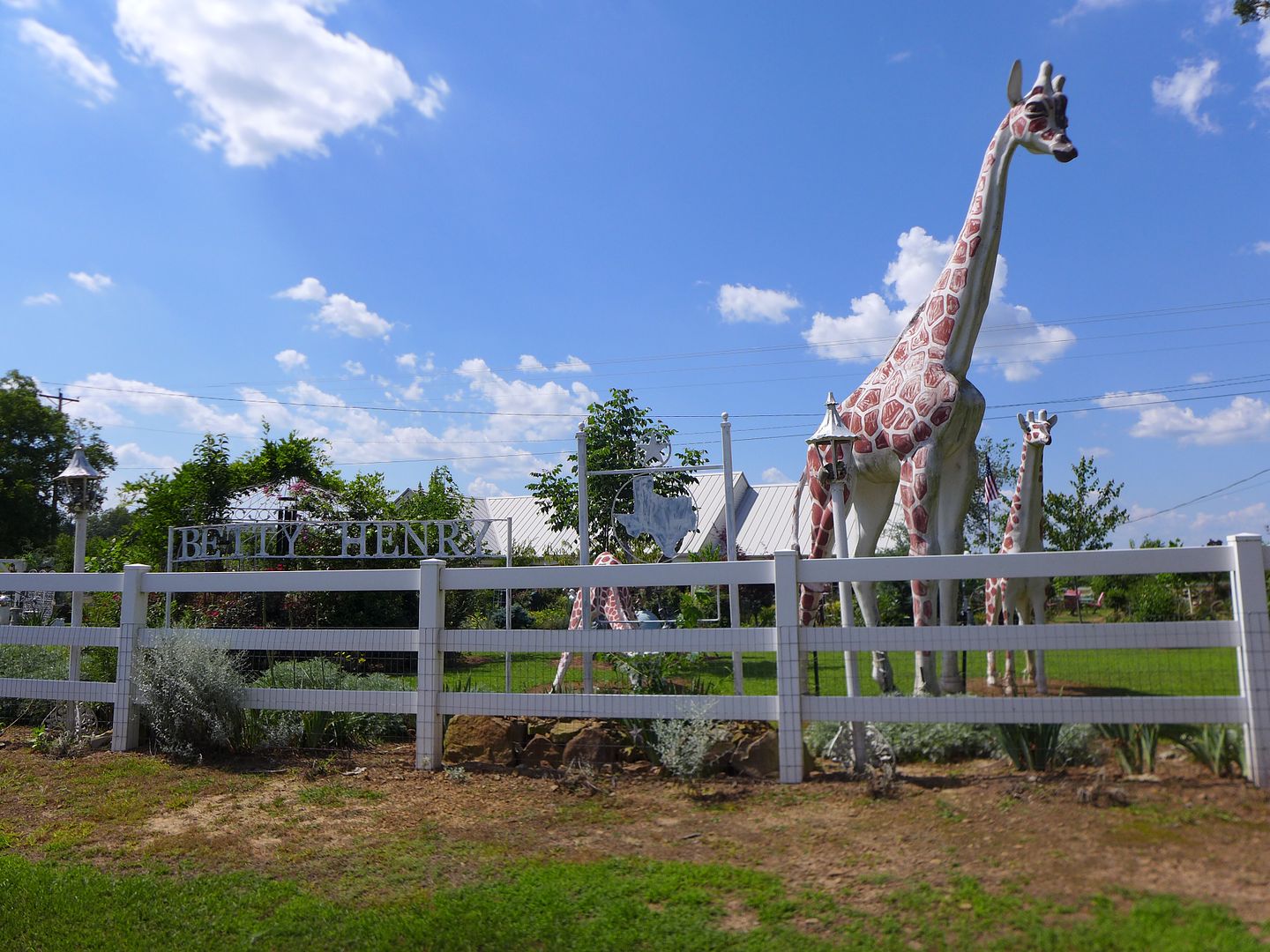
photo. This was someone's front garden... I was speechless!

Image
photo. And incredulous. This is the kind of ignorance we're up against people!


I stopped off at the Dunham Gas & General Store in Scotland (really?!), and continued north and westwards though the Ozarks... It had been 93 degrees F in Beebe (at around 300ft elevation), but up here, and later in the afternoon at least, it was 105 F!

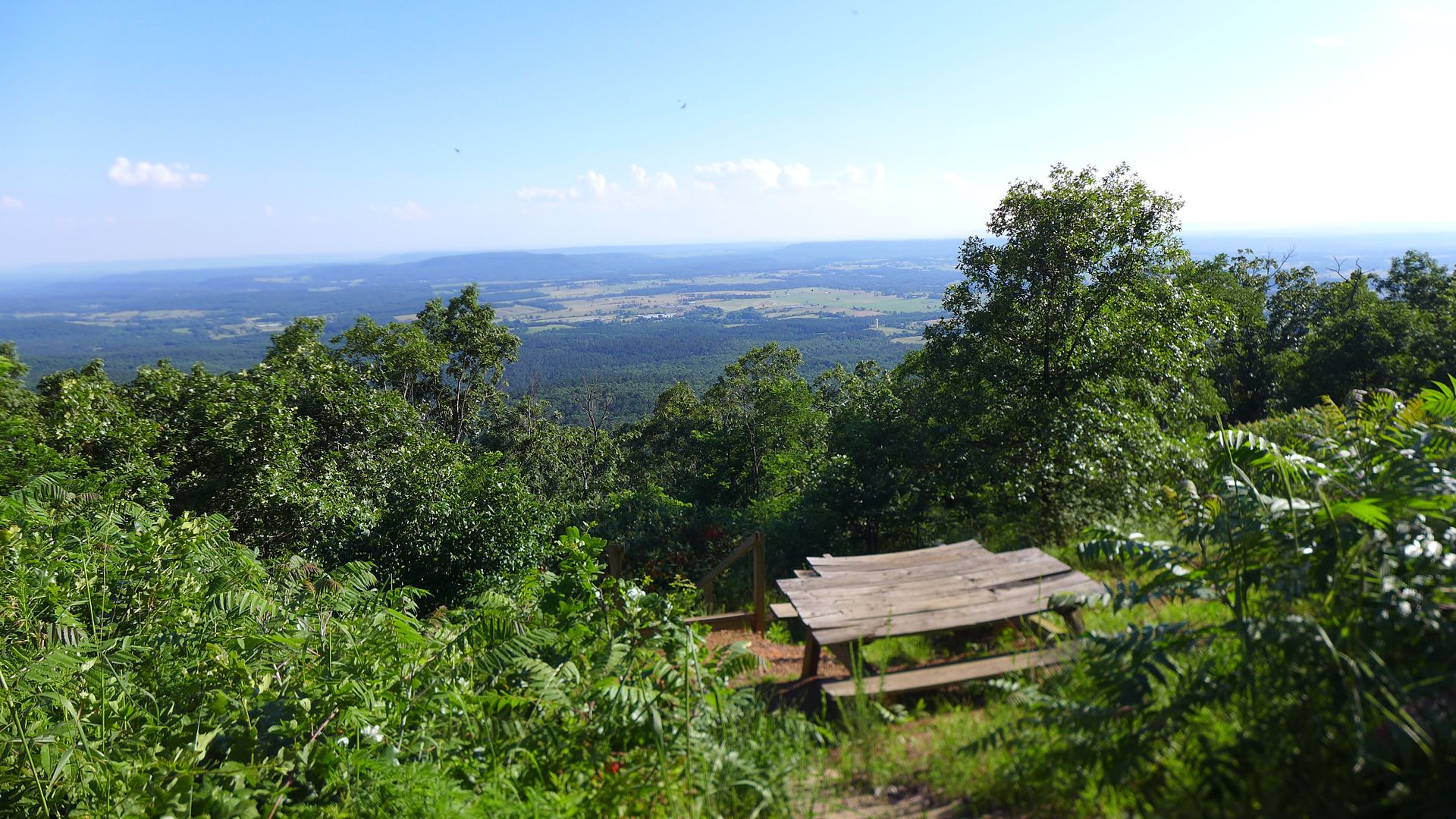
The increasing elevation and tree cover offered some respite, and I seriously considered stopping here and camping in the forest - imagine waking up with that view!

Image

But since I felt the onset of a migraine, elected to continue to a highway and find a motel instead...

Image
photo. As the evening drew in, I made like Batman (on the Batcycle ;o) and headed for the comfort of another motel...

Ultimately, it was a 15 mile ride south to Russellville (where there are any number of chain hotels, plus the all important Starbucks ;o), on some beautiful backroads - and I have to say, was an utterly enjoyable end to the day to be back on a twisty highway onboard the Honda - I am so utterly in love with this bike now I can't tell you!

Jx
Post Reply

Return to “RIDE REPORTS”