Iceland Day 1 - Sunday, 20 Aug 2017:
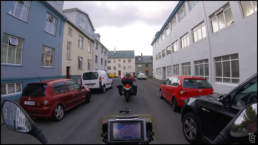
Purple planes, a bus, and bit of sight-seeing. We arrived at Keflavik Airport at 1:45PM. I didn't sleep at all during the all-night flight from San Francisco. I'm ready to crash once we reach the hotel however I know the best thing to do is stay awake until evening so I can adjust to Iceland time easier. Grey Line bus services provided a 45 minute ride to the Icelandair Hotel in Reykjavik. It was after 3PM before we arrived at the hotel and I just wanted to sleep. We set a 1-hour alarm and took a little nap before leaving the hotel to scurry up some dinner.
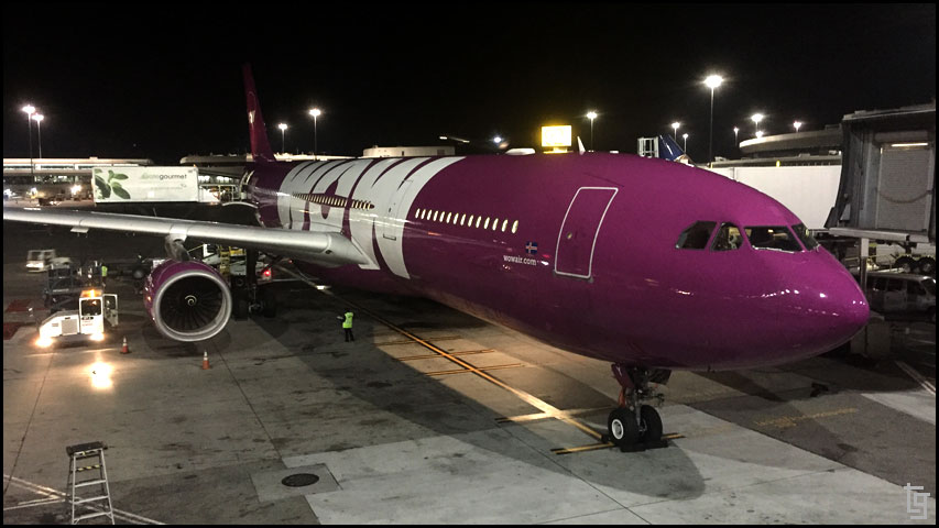
WOW airlines sure has some pimpin' planes.
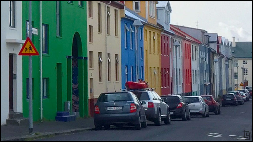
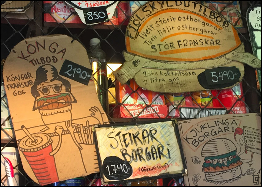
We walked around the marine side of Reykjavik and established our bearings a bit. We grabbed dinner from a food cart that served fish and chips. They gave us order “number 1”. Our first meal in Iceland and we’re treated like #1. Good stuff.
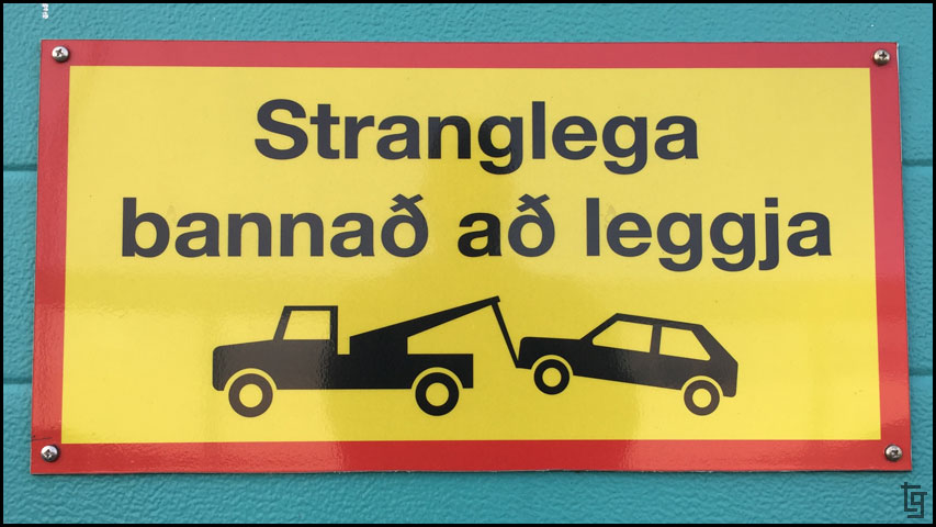
I think this says "Three door hatchbacks that look like a VW Golf will be towed."
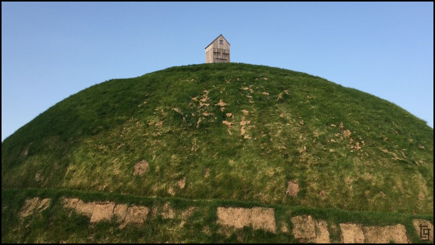
Þúfa is a sculpture by Ólöf Nordal There is a short path that spirals all the way up the top...
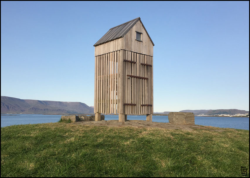
...where a small fish-drying shed stands proudly.
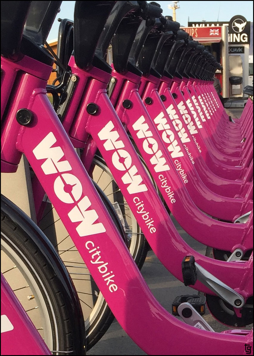
It's not enough to have purple airplanes when you can have WOW rental bikes in purple as well.
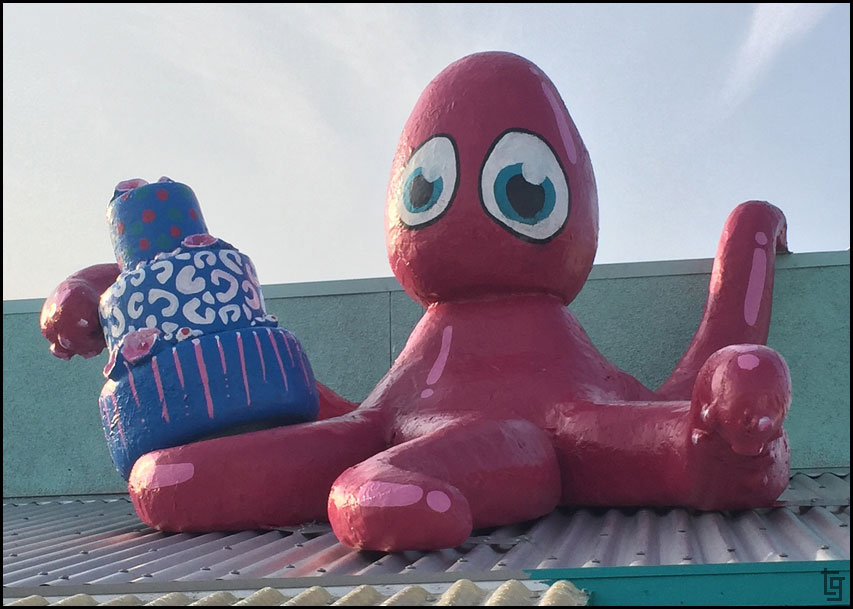
Even the octopus serving sushi is purple!
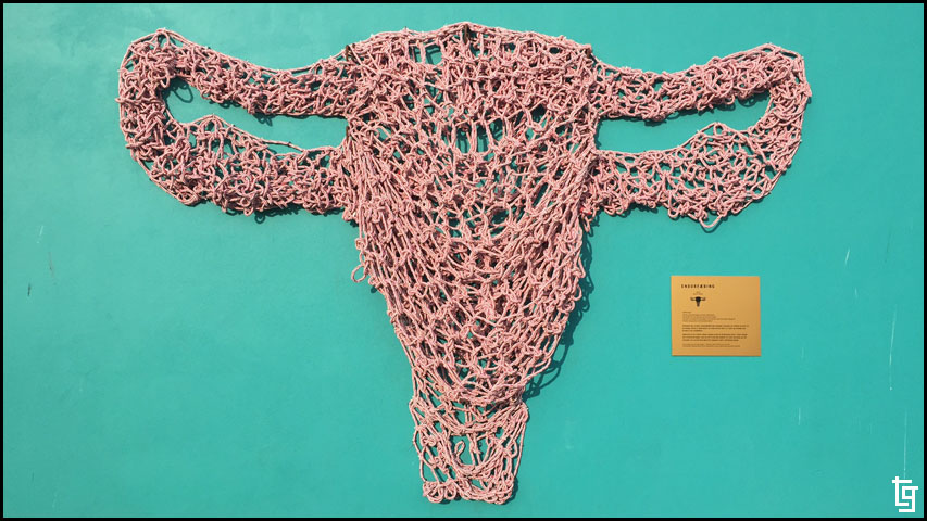
This piece is titled Endurfæðing (Rebirth) by Karen Briem. It's designed such that you can crawl into the "womb" and hang from the netting inside. Interactive art
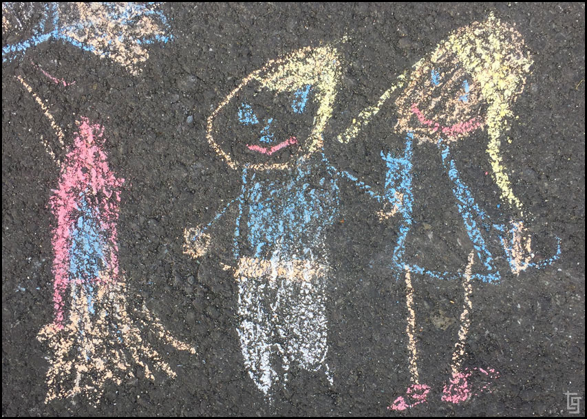
Icelandic kids like to draw on the sidewalks with chalk as well. Are all Icelandic kids blond haired?
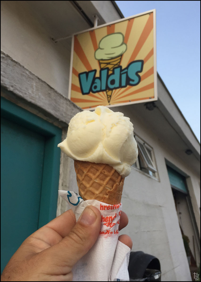
Found some ice-cream. In ice-land. You don't have to worry about it melting when it's only 50°F outside. Yea, in August.
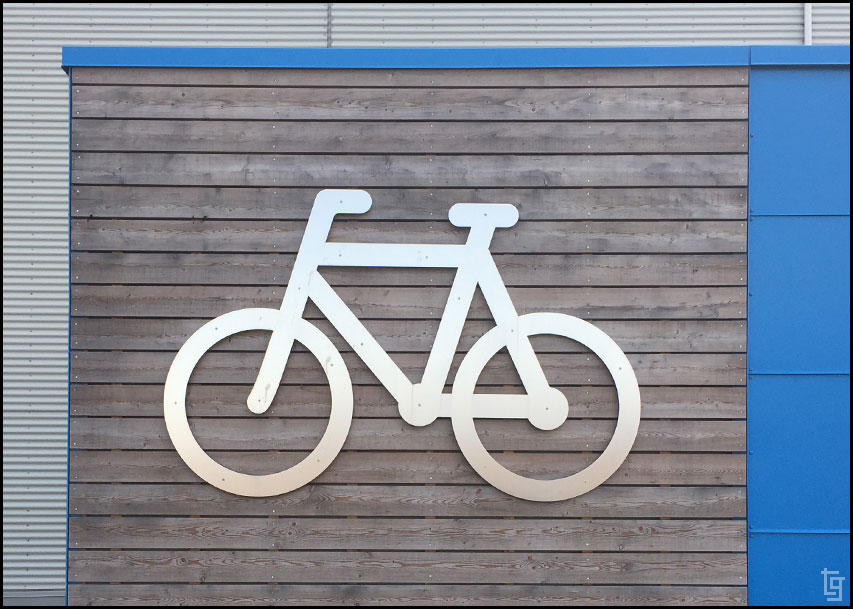
As a graphic artist I find comfort in a world where things are well designed and colors are precisely chosen. It's just a bicycle locker but doesn't it look great?
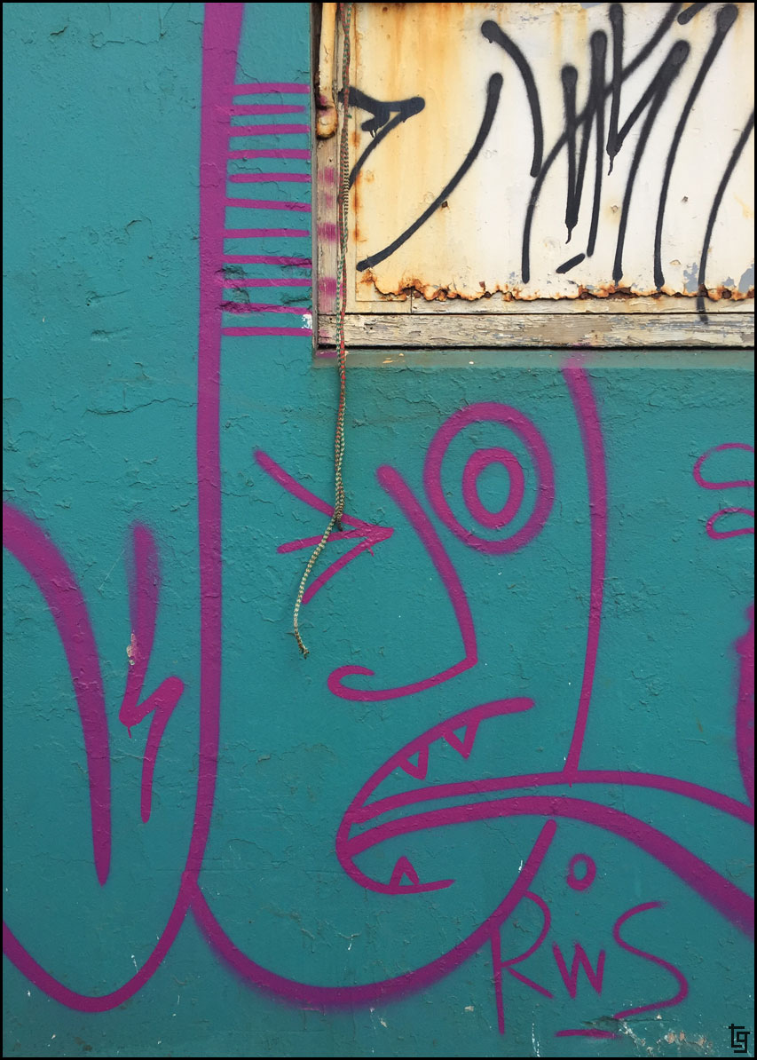
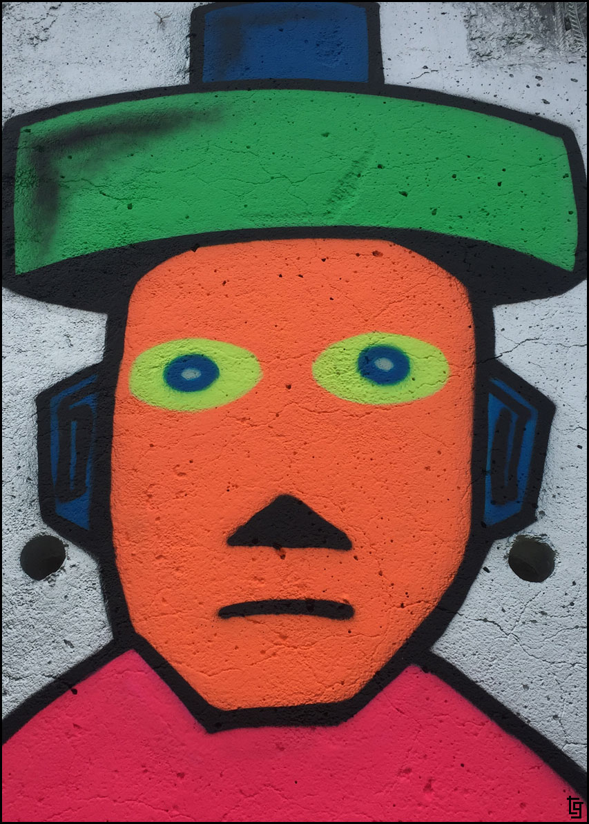
Some see graffiti, I see art.
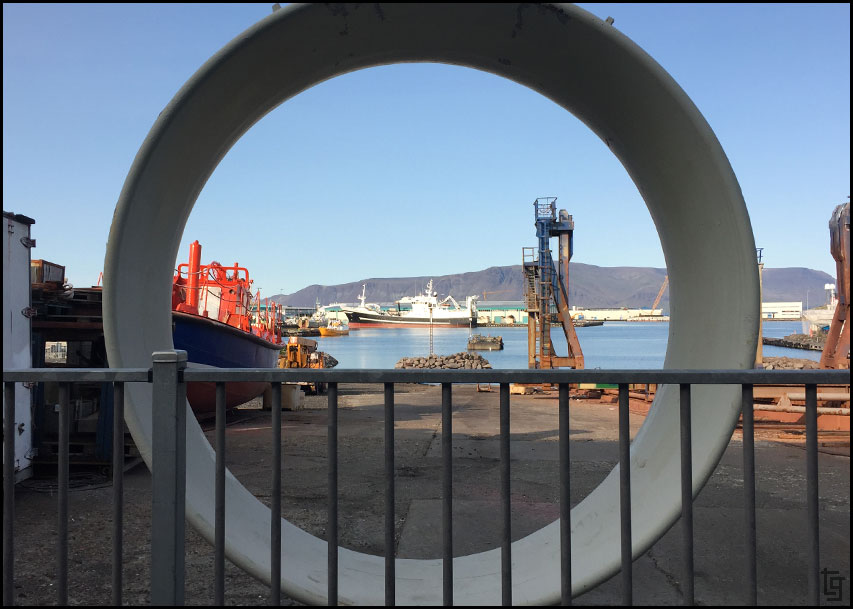
A round sculpture with a window to the marina.
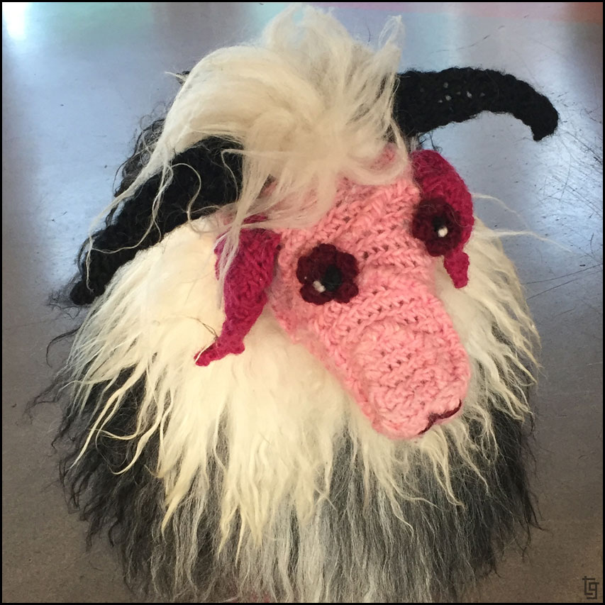
Sheep are a big part of Iceland and are bred for their meat, milk, wool, hides, and skins. I think this particular sheep would give you a hairball - Perhaps a better sweater?
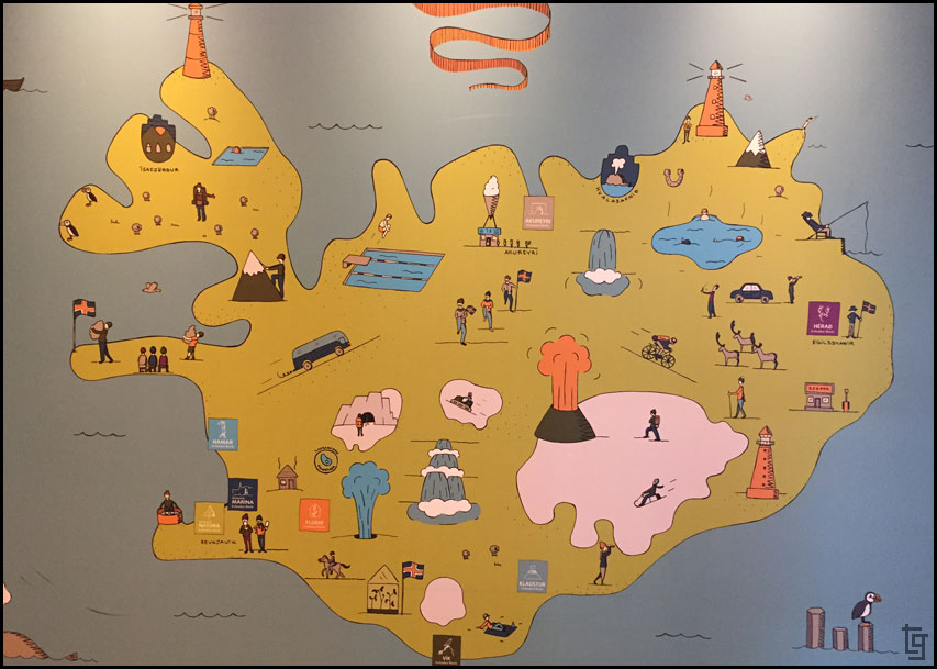
A map of Iceland at the hotel. Based on our experience, it's missing rain clouds.
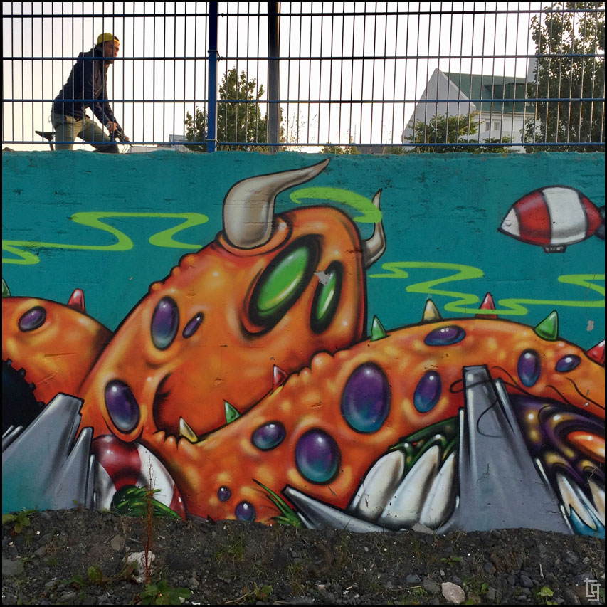
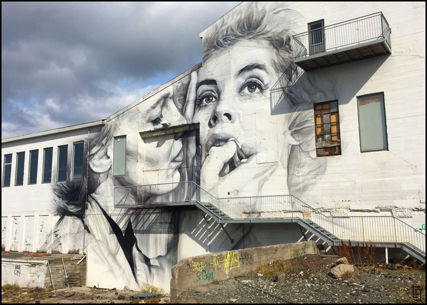
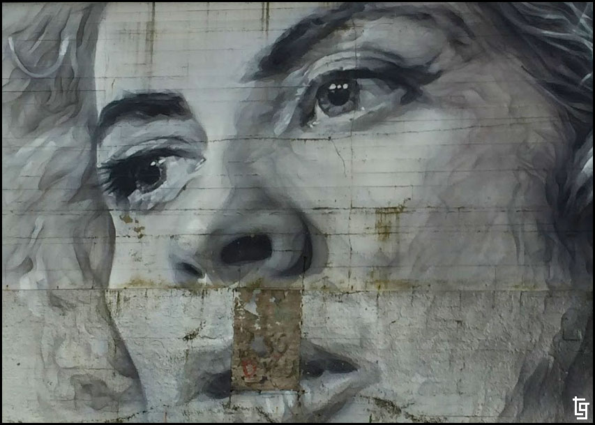
Art abounds in Reykjavik with murals at nearly every corner street.
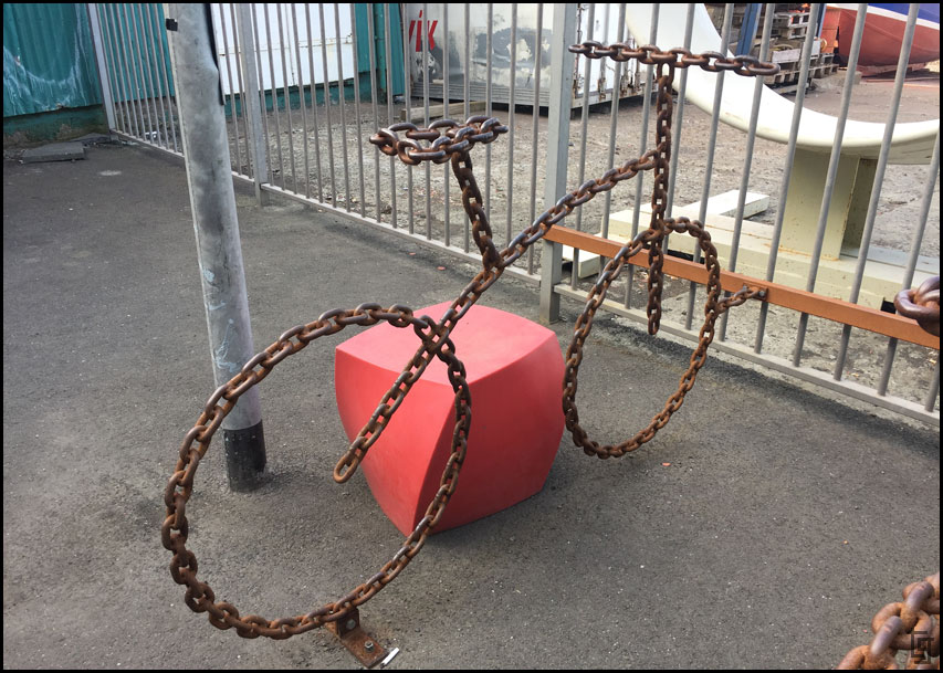
Even the bike racks are art!
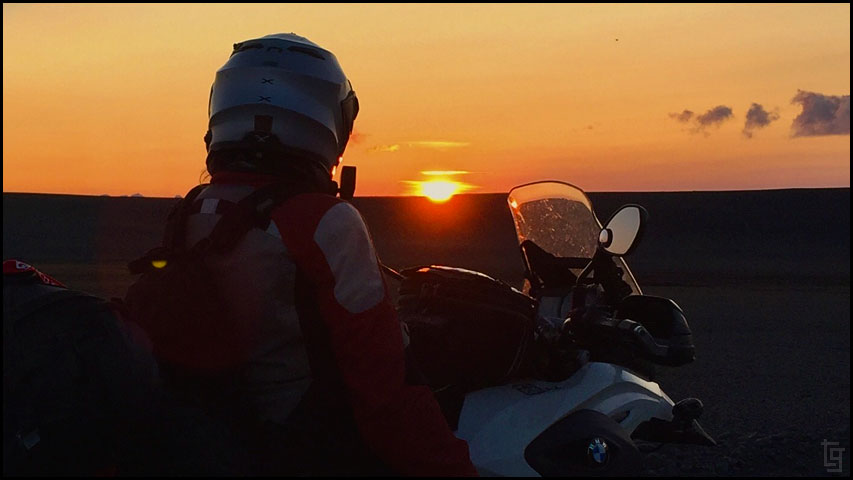
We made it back to the hotel at 8PM and it was still quite sunny outside. Sunset, even this late in the summer, isn't until after 9:20.
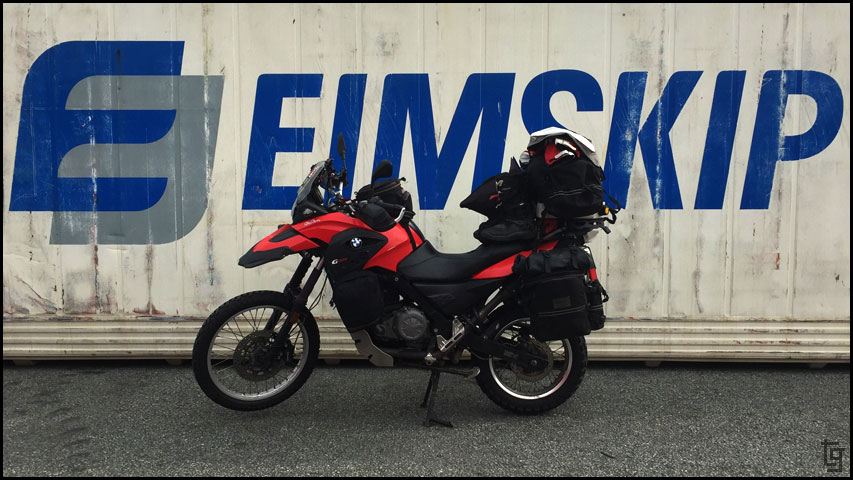
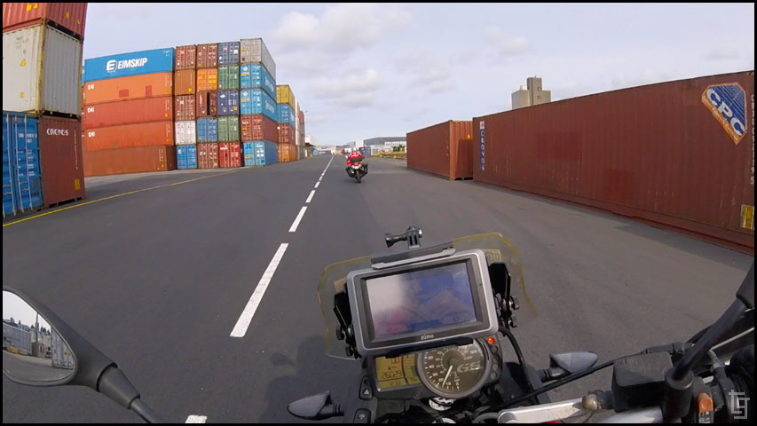
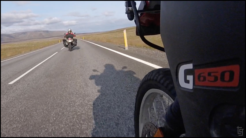
Tomorrow is Monday. We’ll wake up early and walk along the boardwalk to EIMSKIP and see if our motorcycles are ready for pickup...
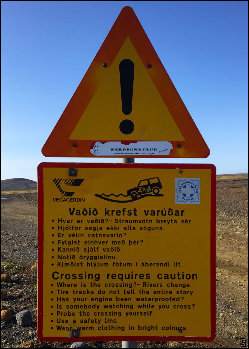
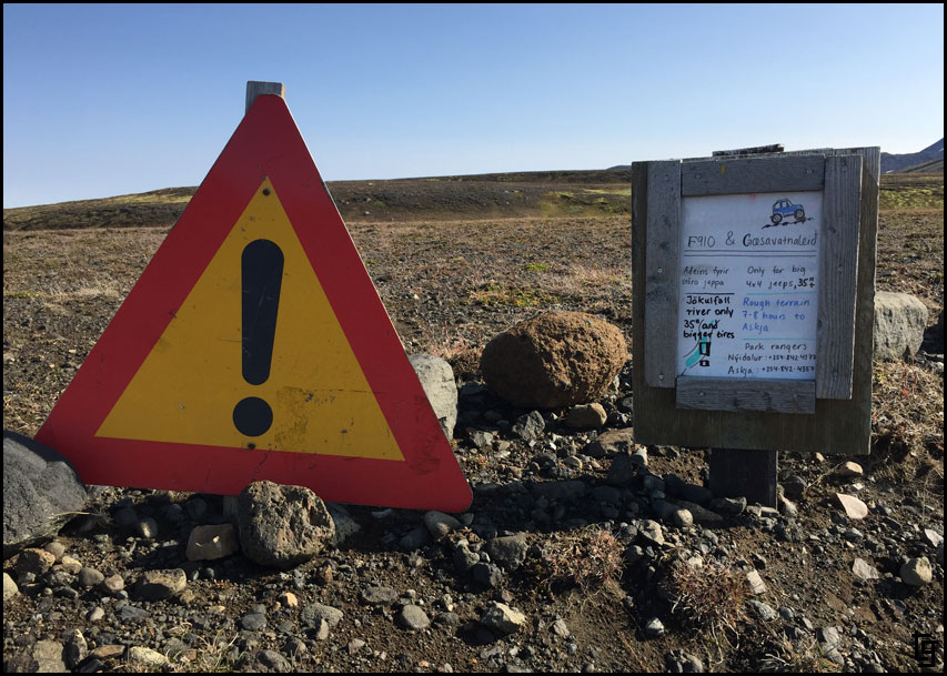
Iceland and Faroe Islands - Bridge Between Continents...
- TravisGill
- Posts: 125
- Joined: Tue Apr 10, 2018 10:09 am
- Location: Germany
- Has thanked: 57 times
- Been thanked: 172 times
-
- Posts: 751
- Joined: Fri Aug 16, 2013 7:14 am
- Location: Fife
- Has thanked: 205 times
- Been thanked: 156 times
Re: Iceland and Faroe Islands - Bridge Between Continents...
Nice to have an interesting ride report to look forward to. thanks for the pictures and report so far,lots more to come hopefully.
-
- Posts: 4790
- Joined: Fri Dec 28, 2012 10:47 pm
- Location: Limousin France
- Has thanked: 2452 times
- Been thanked: 3293 times
Re: Iceland and Faroe Islands - Bridge Between Continents...
Well that's easy for you to say...
- TravisGill
- Posts: 125
- Joined: Tue Apr 10, 2018 10:09 am
- Location: Germany
- Has thanked: 57 times
- Been thanked: 172 times
Re: Iceland and Faroe Islands - Bridge Between Continents...
We did. It was our goal from the beginning to ride through the middle of Iceland via the F26 (Sprengisandur). We had a perfect three-day weather window right after we picked up the bikes on Day 2. More to follow...
- TravisGill
- Posts: 125
- Joined: Tue Apr 10, 2018 10:09 am
- Location: Germany
- Has thanked: 57 times
- Been thanked: 172 times
Re: Iceland and Faroe Islands - Bridge Between Continents...
Iceland Day 2 - Monday, 21 Aug 2017:
Map of Day 2
Woke up after a great night of sleep at the Icelandair Marina Hotel. We walked around Reykjavik starting at 7:30 AM and quickly realized this town sleeps in; not much open. We wandered our way along the boardwalk, taking pictures along the way...
The Icelandair Hotel had some really interesting art, collections, and books on display.
Sailor Ashore by Icelandic artist Aðalheiður S. Eysteinsdóttir located within the hotel lobby.
The Icelandair Hotel offered some interesting architecture and colorful balconies.
Now THIS is a Sprinter Van! Big balloon tires seem to be a thing here in Iceland.
Sólfarið - Sun Voyager is the famous sculpture by Jón Gunnar.
Part of the Berlin Wall was given to Iceland and presented here. It's been repainted using bright neon colors.
Unnamed sculpture near the Sigurjón Ólafsson Museum.
We walked until we reached EIMSKIP where the mules have been waiting for us since Thursday. The process of finding our order, paying for the shipment, getting a security van ride to the warehouse, walking to the 8' x 20' cargo container, unstrapping and unloading the bikes, and connecting the batteries took about an hour and a half. After leaving the warehouse, we gassed up and then rode back to our hotel so we could check out before noon.
Our bikes almost ready to go from EIMSKIP...
...but not before I add another sticker. Iceland, our first European country!
Leaving EIMSKIP after being reunited with our mules.
Riding through the tight streets of Reykjavik in search of a 10-11 store to buy a sim card.
Australian artist Guido van Helten did this mural on the Loftkastalinn building which is a former theater that was converted into a film studio.
Close up of another mural on the same Loftkastalinn building. The inspiration came from the film studios film archive.
Colorful buildings on narrow city streets are typical in Reykjavik.
The Hamburger Joint offered unique style to a hamburger. This is the menu, written on cardboard with fun drawings.
A perfect name for a chocolate company - Omnom.
Not too many roundabouts in the USA so these took a little getting used to. Personally, I like them and wonder if they are safer than controlled intersections?
It felt great to be on the open road once again after not riding the mules for almost a month.
Þingvellir National Park offers a chance to walk inside the gap created by the American and European continental shelves.
Gotta pay to pee - €2 to be exact ($2.36 USD). This is a new concept and apparently one I have to get used to in Europe.
Other two wheeled travelers from South Korea.
The lake at Þingvellir was on a seperate path away from most of the tourists.
Þingvellir church sits beautifully among the lava cliffs.
Iceland flag just below the continental plate.
The smart alex in me wants to throw some pennies in the stream. C'mon the sign only says no Dollars, Krona, Euro, or Yen.
The Strokkur Geysir had a visitors center and restaurant where the theme was the national sport of Iceland - Glíma, a type of wrestling. This statue memorializes the sport.
Fish soup is a popular dish in Iceland. I thought is was delicious.
Strokkur Geysir erupts about every few minutes to the joy of tourist from all over the world; even the one's from California.
We only covered about 145 km (90 miles) today before calling it a night at Skjòl Campground.
Tomorrow we will venture into the isolated center of Iceland via the F-26...
- TravisGill
- Posts: 125
- Joined: Tue Apr 10, 2018 10:09 am
- Location: Germany
- Has thanked: 57 times
- Been thanked: 172 times
Re: Iceland and Faroe Islands - Bridge Between Continents...
Iceland Day 3 - Tue, 22 Aug 2017:
The weather has been incredibly sunny so we figured this would be the perfect opportunity to travel through the isolated center of Iceland via Route F26, also know as the Sprengisandsleið. Highlights included barren, moon-like, volcanic terrain, and river crossings fed by volcanic glaciers. I hoped that the crossing wouldn't be too deep...
Map of Day 3
Icelandic horses are small but are long-lived and hardy. Icelandic law prevents horses from being imported into the country and exported animals are not allowed to return keeping the population relatively disease-free.
Gollafoss Falls. It's early morning and we already have blue skies; it's going to be a great day!
Catching Gollafoss Falls this early in the morning keeps us ahead of the tour buses that bring folks in by the hundreds. I'm grateful that we don't have to be on a tour buses schedule for our trip.
Enjoying the last bit of pavement before we hit some gravel and dirt roads.
It's a warm (15C - 59F) and sunny day so I'm able to ride with my summer gloves, leave the visor open, and ride without a jacket liner.
The view before reaching the F26 was of fertile farm land and small green hills.
I'm also in awe of the generosity of total strangers. Let me explain... My Mavic drone just fell from the sky immediately after I switched off the course lock. Fortunately, it wasn't too hard to recover using the tracking feature of the remote. Unfortunately, all four props were broken or mangled. I had spares but was one prop short... Bummer; no drone footage until we buy another one - perhaps halfway into our trip when we return to Reykjavik?
As we were getting ready to leave the area, we spotted a Mavic drone flying nearby!! I walked over and explained our problem and sure enough this Swiss tourist has a spare! We offered some money to pay for it but he refused. Extremely grateful for the kindness of strangers! Viva !!
We took a break at this canyon to fly the Mavic drone some more...
... and even got a great shot of us flying it under the bridge inside this canyon.
Crossing the a single lane bridge across the first river. Glad this one has a bridge. Will the water be as deep up ahead? Perhaps without a bridge?...
At the Hrauneyjar Highland Center we came across this really cool Nissan Patrol. Sadly they are not available in the US.
Our mules parked in the volcanic sand.
I know they are just mechanical things made of metal, plastic, and rubber but they have a way of growing on you. We love our two mules; they've got us through some wonderful country.
I inadvertently stumbled across this geocache at the base of one of the F26 signs. We signed the log-book and left a sailors knot before continuing onward.
Route F26 or Sprengisandsleið is the longest (200 km) and one of the most isolated roads in Iceland, running through the Sprengisandur area between the glaciers Hofsjökull and Vatnajökull. We had just enough gas in our tanks to make the trip.
4x4s only. What is a pair of 1x2s to do?
Although this section of the F26 wasn't too technical it was remote; we didn't see more than maybe a handful of vehicles all day out here.
Folks often ask how I get pictures of the two of us when it's just the two of us. The secret will astound you... a Manfrotto compact tripod. Here I am returning to pick it up before it gets run over by a Land Rover.
We knew there were going to be water crossing but we had no idea how many or how deep they would be. Anything deeper than 1 meter is probably too deep for the mules and dropping them in water that deep could easily end our trip. With the unusually hot weather, the glacier-fed water would definitely be deeper. To say there was a little anxiety would be an understatement...
This is the first water crossings. As you can see, it's wasn't worth all the anxiety and worry. The bike rolled through it like butter... a kind of rocky, bumpy butter.
We rode all day and well into just before sunset at around 9:20.
The sunsets last quite a lot longer here this far north.
Taking a break to watch the sun drop behind Langjökull glacier. Incredible.
It wasn't much longer before we found a nice pull-off area and set up camp for the night.
Tomorrow we will continue along the F-26 on our way to the northern side of Iceland.
- TravisGill
- Posts: 125
- Joined: Tue Apr 10, 2018 10:09 am
- Location: Germany
- Has thanked: 57 times
- Been thanked: 172 times
Re: Iceland and Faroe Islands - Bridge Between Continents...
Iceland Day 4 - Wed, 23 Aug 2017:
Slow, but excellent, travels as we continued along F26 and F831 north through the remote center of Iceland.
Map of Day 4
Opening the tent reveled a thick and cold fog. As we packed up the camp I was wondering if the good weather was behind us? I also wondered what kinds of great views we were missing with only about 50 ft of visibility. Luck was upon us that day; the further we traveled, the further the fog lifted and by 9AM we had beautiful blue skies!
Lots of open road with moon-like views for miles in each direction.
Some tips for driving (or riding) in the highlands.
Warning signs giving advise on how to cross rivers. I just hope my motortcycle jacket is warm and bright enough
Gotta wonder how high the winds get out here to sandblast the signs.
We considered taking the F910 route but the warning seemed like it would be too much of a challenge for us and our mules. Perhaps, it was for the better since we also didn't have the fuel range and would have had to ask for the kindness of other travelers to share their fuel with us.
No food out here in the boonies so the official lunch of the F-26 was energy drink and tortilla with almond peanut butter. Thanks to my aunt Beth and sister Jenn for the drinks!
There where km and km of desolate roads situated in a high valley between two glaciers.
With only three pairs of socks and one pair wet from a previous river crossing you have to find creative ways to dry them out. The hand-guards make a great mobile sock dryer!
We came across this sign for the F831 directing us to a hot pool. After two days of riding in the dirt a hot pool sounded like a great idea! Do we have the fuel to make it to the pool and still make it to the gas station?
Chantil studying the map and doing some math to see if we have the range. Even without the diversion, we only had about 20-30 spare miles before we were thumbing it.
Turns out we made it to the hot pool AND had gas to spare. Love it when a plan works out!
Somewhere 50 miles from a paved road is a little slice of heaven - it's called Laugafell. Don't miss it if you travel this way.
Laugafell has a few buildings, some camping, and most importantly, a changing area and hot pool. We hung out for a few hours and even considered staying the night. With the prospect of bad weather coming in a few days we decided to press on.
More water crossings. If I remember correctly there were three crossings on the F26 and more than a handful on the F831.
We stood on the pegs for a lot of the riding today. Every once in a while I'd check my six to ensure we weren't being overtaken by another vehicle.
This portion of the road has so many water crossing that we weren't even getting off the bikes to film them. My fender mounted GoPro is positioned so I can just reach down and hit record while riding.
Dropping down into the valley from the highland was one of the most memorable views of the entire trip. To bad I was too busy trying not to ride off the cliff to get a great picture.
The F821 north featured beautiful waterfalls and a gorgeous green valley.
Bright green moss-covered rocks surround crystal clear rivers and waterfalls.
There was one section that dropped down to the lower valley that was full of small rocks, water crossings, and switch backs. It was the most technical of the riding we did in Iceland.
It was almost 7:30 PM before we were back on pavement. The F26 and 821 were definitely a beautiful and very memorial experience.
We made it into the town of Akureyri where we found gas, dinner at Greifinn's (recommended by some teenage kids at the gas pump), and lodging at Akureyri Backpackers Hostel.
While reflecting on our trip so far I was feeling like the worst was behind us. We had gotten through some of the most isolated areas on Iceland with great weather and no breakdowns! Little did I know that Murphy was just postponing both weather and breakdowns for a later date...